Hiking in Oslo: Best Trails in the City and Nordmarka Forest
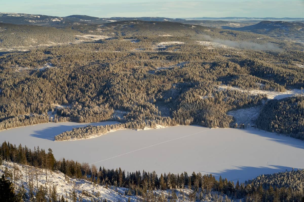
Oslo is one of the few European capitals where you can step off a metro and be deep in forest within 30 minutes. This guide covers the best hiking trails in and around the city, from urban river walks to full-day routes in Nordmarka.
Tickets & tours
Live prices and dates from our booking partner. If you book, we may earn a commission at no extra cost to you.
Oslo's relationship with outdoor life runs deep. The city is surrounded on three sides by forested hills, and the Nordmarka wilderness alone contains hundreds of kilometres of marked trails accessible directly from the T-bane metro. Whether you want a two-hour loop around a glacial lake or a full-day forest traverse, you rarely need a car. The main access points are Holmenkollen to the northwest on Line 1 and the Sognsvann terminus on Line 5. For urban trails, Grünerløkka and the Akerselva river corridor offer a completely different kind of hiking experience. See our Oslo in summer guide for how hiking fits into a broader warm-weather itinerary, or our Oslo in winter guide for cross-country skiing on the same routes. All trails listed here are free to access — the only cost is usually your Ruter transit fare to the trailhead.
Nordmarka: Forest Trails from the Metro
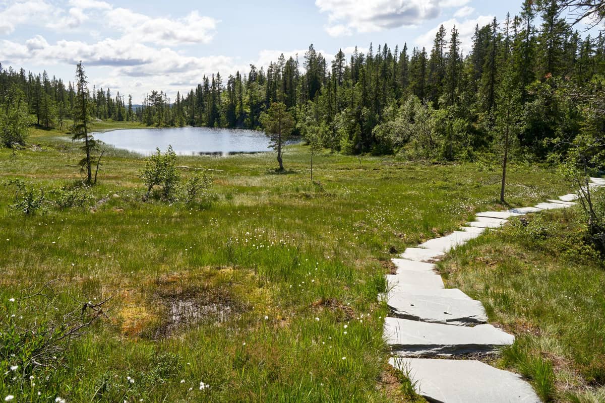
Nordmarka is the defining feature of Oslo hiking. This vast forested plateau begins where the city's northwestern suburbs end and stretches for roughly 430 square kilometres of lakes, ridges, and spruce forest. The two best metro access points are Sognsvann (Line 5) and Frognerseteren (the Line 1 terminus). Trails are marked with blue painted waypoints in summer. For a deeper look at what this area offers year-round, see our 3-day Oslo itinerary which includes a half-day Nordmarka excursion.
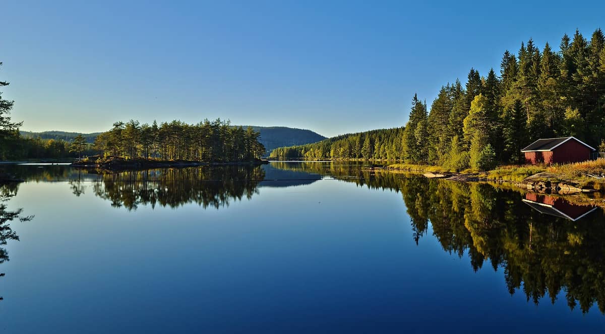
1. Explore Hundreds of Kilometres of Marked Trails in Nordmarka Forest
Oslo's vast forest wilderness starts 30 minutes from the city centre by metro. Blue-marked summer trails connect lakes, ridges, and forest huts. No entry fee applies — the main cost is your Ruter T-bane fare to the trailhead at Sognsvann or Frognerseteren.
Explore1. Explore Hundreds of Kilometres of Marked Trails in Nordmarka Forest
Oslo's vast forest wilderness starts 30 minutes from the city centre by metro. Blue-marked summer trails connect lakes, ridges, and forest huts. No entry fee applies — the main cost is your Ruter T-bane fare to the trailhead at Sognsvann or Frognerseteren.
Explore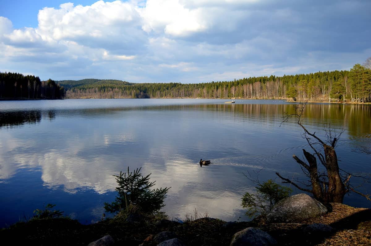
2. Walk the Sognsvann Lake Loop — Oslo's Most Popular Trail
A flat 3.4-kilometre loop around a beautiful glacial lake, reachable in 25 minutes on metro Line 1. The path is well-maintained and suitable for all fitness levels. In summer, several spots on the shore are good for swimming after your walk.
Explore2. Walk the Sognsvann Lake Loop — Oslo's Most Popular Trail
A flat 3.4-kilometre loop around a beautiful glacial lake, reachable in 25 minutes on metro Line 1. The path is well-maintained and suitable for all fitness levels. In summer, several spots on the shore are good for swimming after your walk.
Explore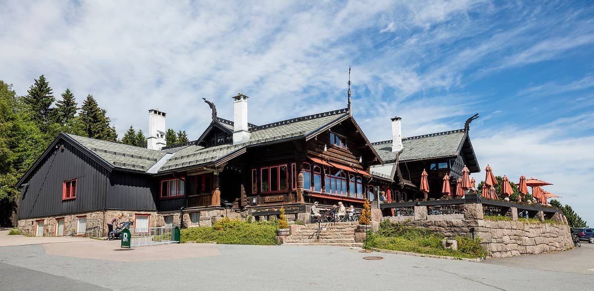
3. Start Your Nordmarka Hike from Frognerseteren Lodge
The historic 1891 dragon-style lodge at the top of the Holmenkollen metro line is the best staging point for longer Nordmarka routes. Panoramic views over Oslo and the fjord reward you before you even set off. Stop for the famous apple cake on your return.
Explore3. Start Your Nordmarka Hike from Frognerseteren Lodge
The historic 1891 dragon-style lodge at the top of the Holmenkollen metro line is the best staging point for longer Nordmarka routes. Panoramic views over Oslo and the fjord reward you before you even set off. Stop for the famous apple cake on your return.
Explore💡 Local tip
Trails in Nordmarka are marked with blue paint on trees and rocks in summer. Pick up a printed trail map at the Sognsvann kiosk or download the Norwegian Trekking Association (DNT) app before setting off — mobile coverage is patchy deeper in the forest.
Urban Walks: Hiking Through the City Itself
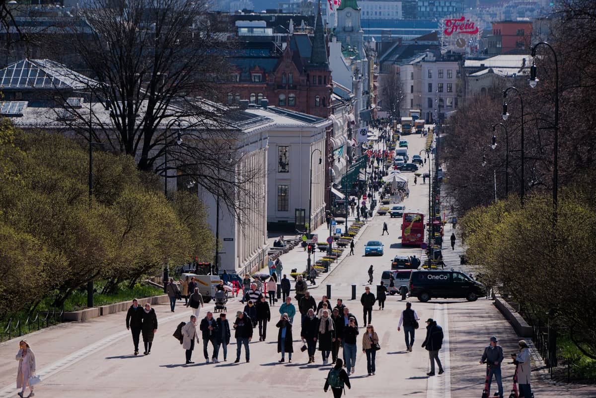
Oslo's urban fabric is unusually walkable for a capital city, and several routes thread through neighbourhoods, riverside paths, and hilltop parks in ways that feel genuinely like hiking. The Oslo walking tours guide covers some of these routes in more detail, but the trails below stand on their own as half-day hiking experiences within the city limits.
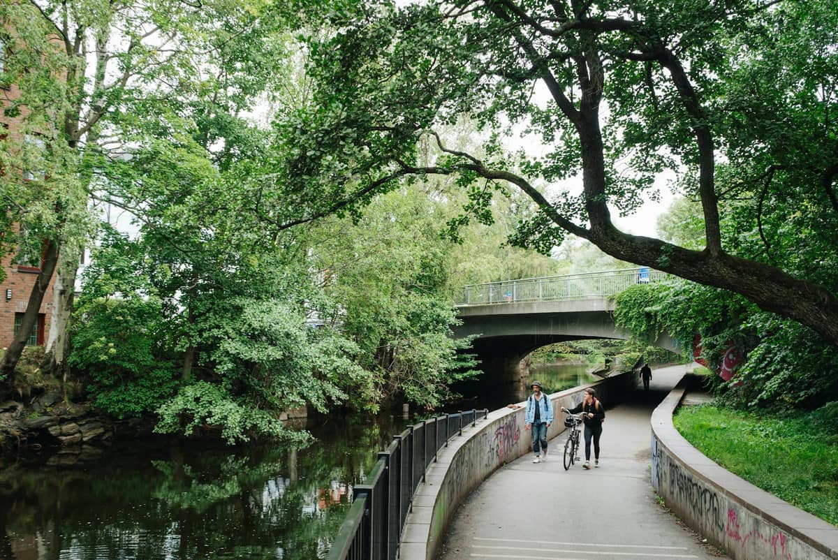
4. Hike Oslo's Best Urban Trail Along the Akerselva River
A 10-kilometre route from Maridalsvannet lake to the fjord, passing waterfalls, 19th-century mill ruins, and street art through Grünerløkka. Allow 3 hours at a hiking pace. The full route is one of the finest free urban walking experiences in any Scandinavian capital.
Explore4. Hike Oslo's Best Urban Trail Along the Akerselva River
A 10-kilometre route from Maridalsvannet lake to the fjord, passing waterfalls, 19th-century mill ruins, and street art through Grünerløkka. Allow 3 hours at a hiking pace. The full route is one of the finest free urban walking experiences in any Scandinavian capital.
Explore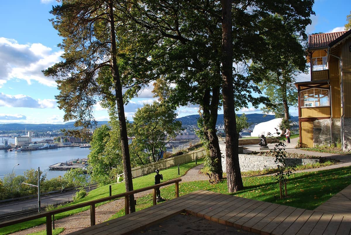
5. Hike the Ekeberg Hillside Through a Forest Sculpture Park
Woodland trails on the Ekeberg hillside connect over 40 sculptures by Dalí, Rodin, and others, set among ancient rock carvings. The forest paths rise steeply from the tram stop, rewarding the climb with sweeping views over central Oslo and the fjord. Free to enter year-round.
Explore5. Hike the Ekeberg Hillside Through a Forest Sculpture Park
Woodland trails on the Ekeberg hillside connect over 40 sculptures by Dalí, Rodin, and others, set among ancient rock carvings. The forest paths rise steeply from the tram stop, rewarding the climb with sweeping views over central Oslo and the fjord. Free to enter year-round.
Explore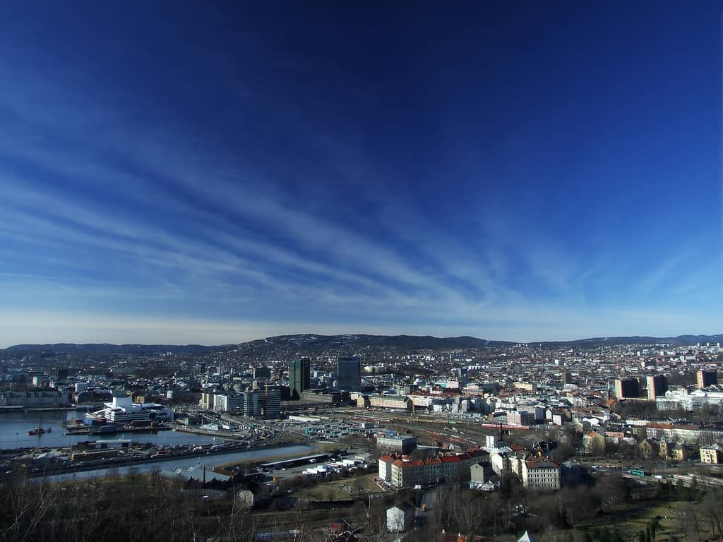
6. Climb to the Ekeberg Viewpoint Said to Have Inspired The Scream
This hilltop lookout offers one of Oslo's most dramatic panoramas — city, fjord, and surrounding hills visible in a single sweep. Edvard Munch reportedly stood near here when he conceived The Scream. Accessible by tram, with a short uphill walk from the stop.
Explore6. Climb to the Ekeberg Viewpoint Said to Have Inspired The Scream
This hilltop lookout offers one of Oslo's most dramatic panoramas — city, fjord, and surrounding hills visible in a single sweep. Edvard Munch reportedly stood near here when he conceived The Scream. Accessible by tram, with a short uphill walk from the stop.
Explore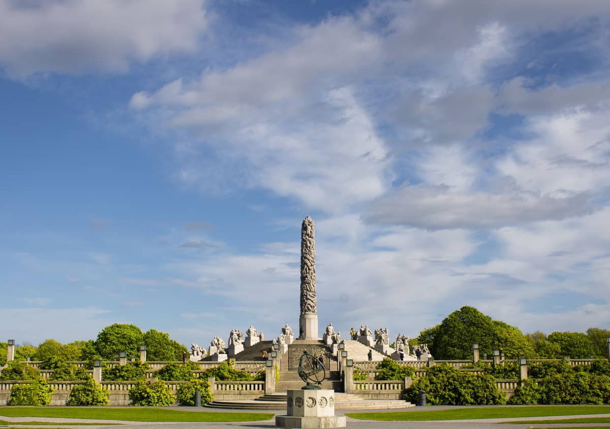
7. Walk Through Frogner Park's 450 Acres of Green Space
Oslo's largest city park combines open lawns, rose gardens, and forest edges into a park large enough to feel like a proper hike. The outer paths away from the Vigeland sculptures are quieter and give a real sense of the city's green character. Open 24 hours, free entry.
Explore7. Walk Through Frogner Park's 450 Acres of Green Space
Oslo's largest city park combines open lawns, rose gardens, and forest edges into a park large enough to feel like a proper hike. The outer paths away from the Vigeland sculptures are quieter and give a real sense of the city's green character. Open 24 hours, free entry.
Explore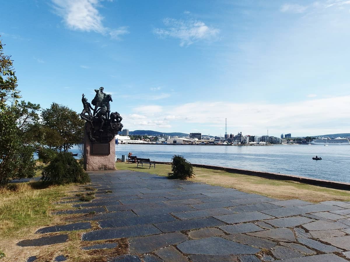
8. Follow the Bygdøy Coastal Path Along Rocky Fjord Shoreline
This peninsula trail links Huk beach to Paradisbukta bay through mixed forest and along a rocky coastline with open fjord views. The full route takes about 90 minutes at a relaxed pace and passes several good swimming spots. Easily combined with a museum visit on the same day.
Explore8. Follow the Bygdøy Coastal Path Along Rocky Fjord Shoreline
This peninsula trail links Huk beach to Paradisbukta bay through mixed forest and along a rocky coastline with open fjord views. The full route takes about 90 minutes at a relaxed pace and passes several good swimming spots. Easily combined with a museum visit on the same day.
ExploreHilltop Viewpoints Worth the Climb
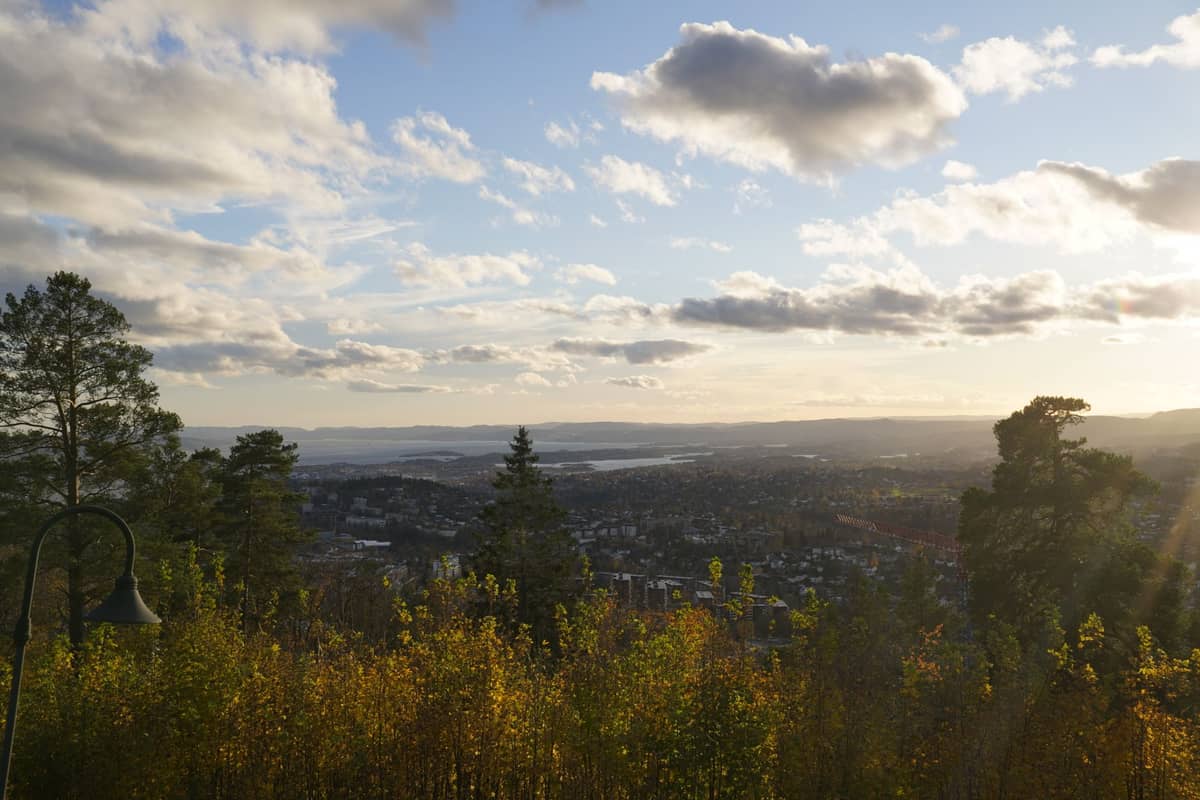
Several of Oslo's best viewpoints require a genuine uphill hike to reach, making them feel more earned than the average city panorama. For a full rundown of where to find the best views across the capital, our Oslo viewpoints guide covers the complete list.
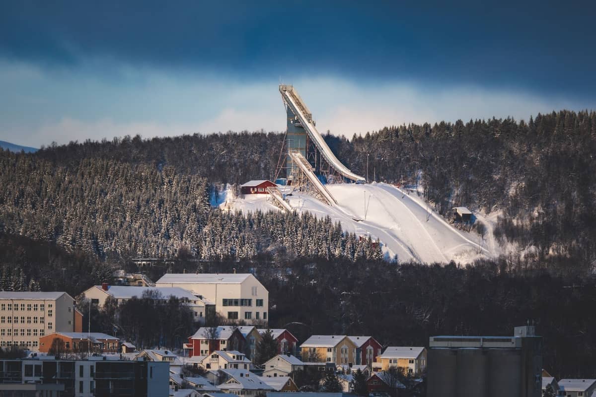
9. Hike Up to Holmenkollen for Panoramic City and Fjord Views
The metro takes you most of the way, but the walk up to the ski jump observation deck earns a genuinely spectacular 360-degree view over Oslo, the fjord, and the Nordmarka forest behind. The surrounding trails make this a natural gateway to longer Holmenkollen hikes.
Explore9. Hike Up to Holmenkollen for Panoramic City and Fjord Views
The metro takes you most of the way, but the walk up to the ski jump observation deck earns a genuinely spectacular 360-degree view over Oslo, the fjord, and the Nordmarka forest behind. The surrounding trails make this a natural gateway to longer Holmenkollen hikes.
Explore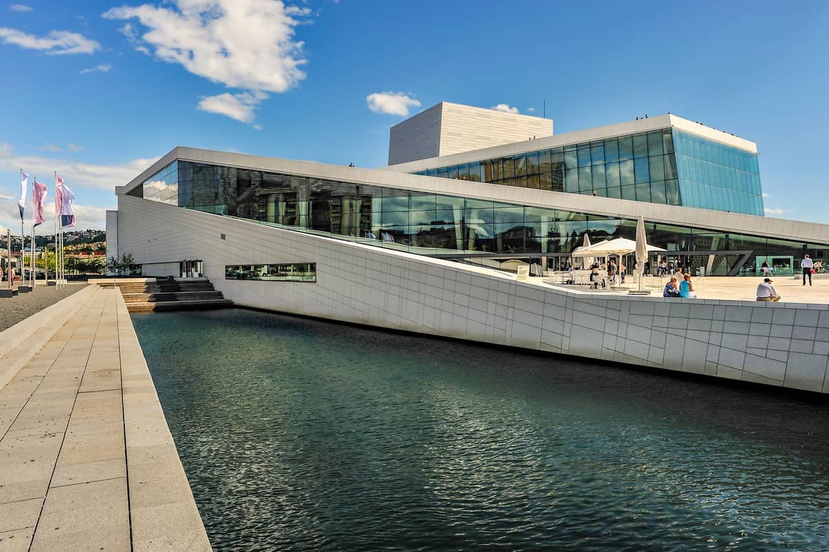
10. Walk the Opera House Roof for the Best Low-Effort City Panorama
Snøhetta designed the Opera House roof as a public space, and the sloping white marble surface gives unobstructed views over the Oslofjord and Bjørvika district. It takes about five minutes to walk to the top — the easiest 'summit' in Oslo and free to access any time.
Explore10. Walk the Opera House Roof for the Best Low-Effort City Panorama
Snøhetta designed the Opera House roof as a public space, and the sloping white marble surface gives unobstructed views over the Oslofjord and Bjørvika district. It takes about five minutes to walk to the top — the easiest 'summit' in Oslo and free to access any time.
ExploreIslands & Coastal Hikes on the Oslofjord
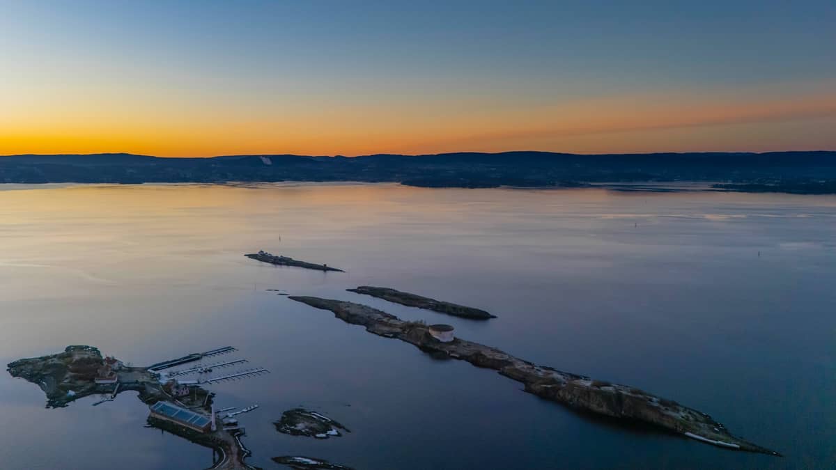
The Oslofjord's inner islands are a genuinely underrated hiking destination, reachable by public ferry from Aker Brygge. Short crossings lead to forest trails, monastic ruins, and rocky coastlines that feel far removed from the capital. See our dedicated Oslo island hopping guide for ferry timetables and island-specific routes.
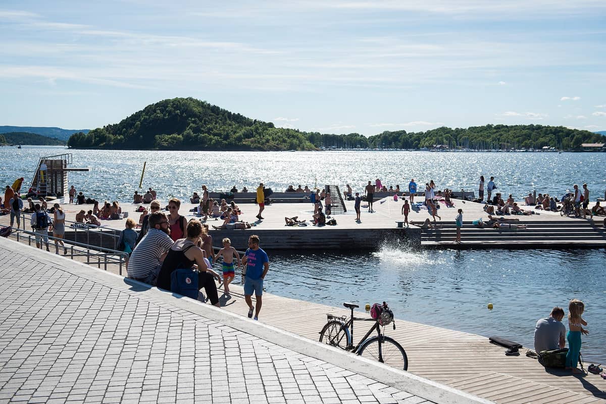
11. Hike the Oslofjord Islands — Monastery Ruins and Forest Trails by Ferry
Ferries from Aker Brygge reach the inner islands in 10-20 minutes. Hovedøya has a marked trail network through forest and along cliffs, plus 12th-century Cistercian ruins. Gressholmen is quieter, with short coastal paths and excellent swimming. Ferries run on the regular Ruter network.
Explore11. Hike the Oslofjord Islands — Monastery Ruins and Forest Trails by Ferry
Ferries from Aker Brygge reach the inner islands in 10-20 minutes. Hovedøya has a marked trail network through forest and along cliffs, plus 12th-century Cistercian ruins. Gressholmen is quieter, with short coastal paths and excellent swimming. Ferries run on the regular Ruter network.
Explore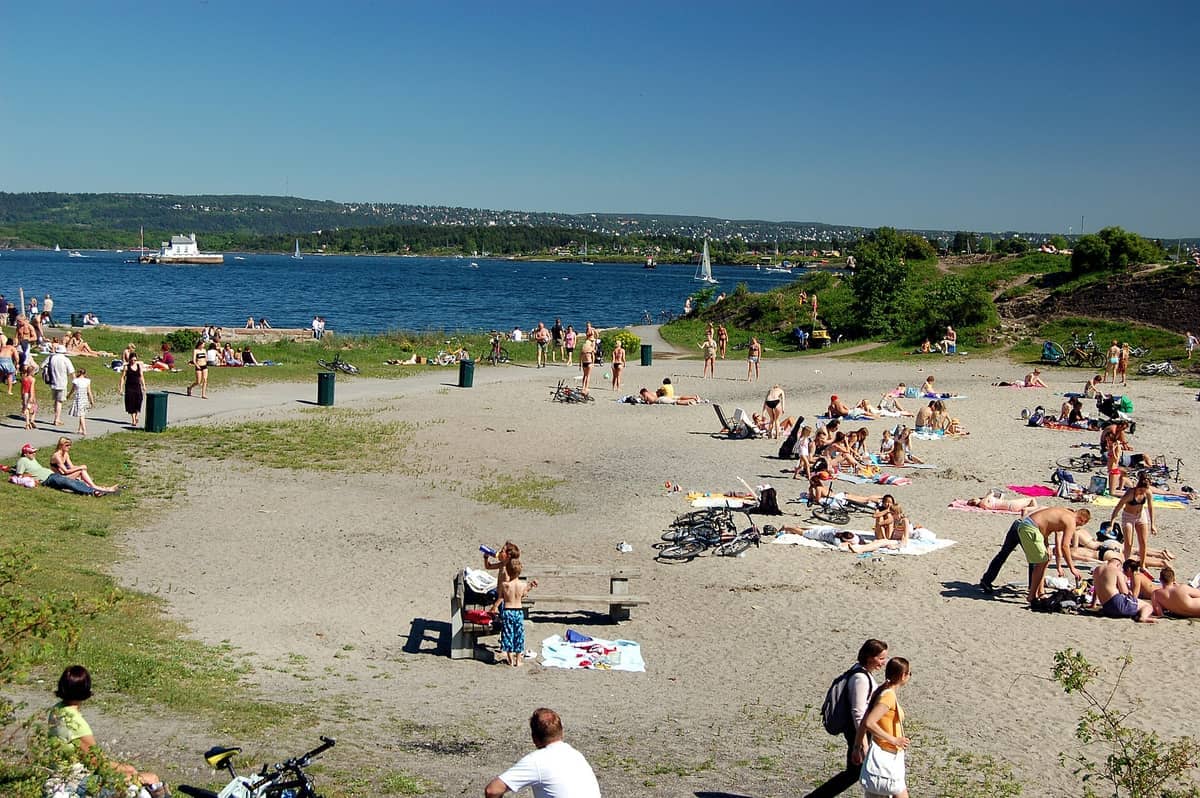
12. Combine a Bygdøy Forest Walk with a Swim at Huk Beach
Huk sits at the tip of the Bygdøy peninsula and serves as the natural endpoint of the coastal path from the museums. The forest between Bygdøy Allé and the beach offers 20-30 minutes of pleasant woodland walking before you reach the sandy shore and two swimming bays.
Explore12. Combine a Bygdøy Forest Walk with a Swim at Huk Beach
Huk sits at the tip of the Bygdøy peninsula and serves as the natural endpoint of the coastal path from the museums. The forest between Bygdøy Allé and the beach offers 20-30 minutes of pleasant woodland walking before you reach the sandy shore and two swimming bays.
ExploreAfter the Hike: Green Spaces and Rewarding Stops
Oslo's hiking routes connect naturally with some of the city's best outdoor and cultural spaces. These final picks are places that work perfectly as a trailhead, midpoint, or reward at the end of a walking day.
13. Wind Down a Walking Day in Oslo's Peaceful Botanical Garden
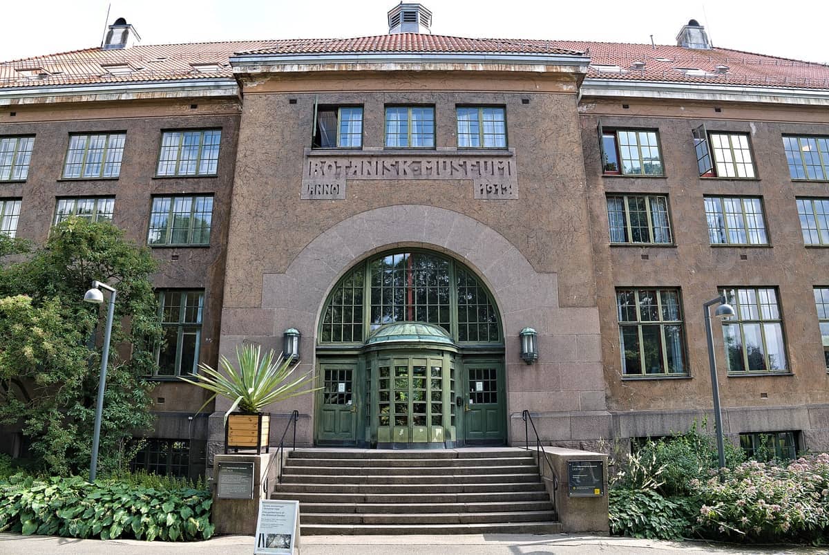
Tøyen's botanical garden is a calm, free green space with 7,500 plant species, a rock garden, and tropical greenhouses. It sits close to the Akerselva trail's upper section and makes a natural stopping point on an urban hiking day, especially in late spring when the garden is at its best.
Explore13. Wind Down a Walking Day in Oslo's Peaceful Botanical Garden
Tøyen's botanical garden is a calm, free green space with 7,500 plant species, a rock garden, and tropical greenhouses. It sits close to the Akerselva trail's upper section and makes a natural stopping point on an urban hiking day, especially in late spring when the garden is at its best.
Explore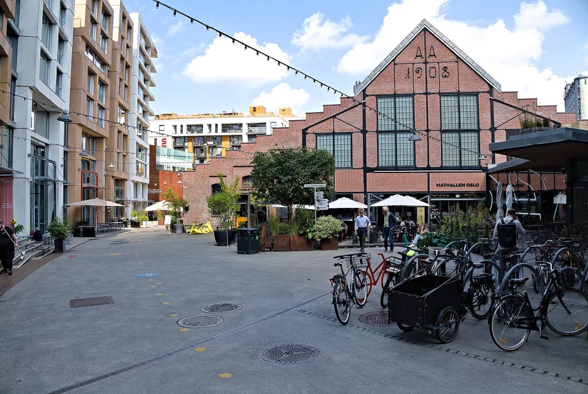
14. Refuel at Mathallen Oslo After a Walk Along the Akerselva
Oslo's best food hall is housed in a converted industrial building in the Vulkan riverside district, right on the Akerselva walking trail. Over 30 stalls offer everything from Norwegian smoked salmon to craft beer. It is the obvious mid-walk or post-hike refuelling stop on the river route.
Explore14. Refuel at Mathallen Oslo After a Walk Along the Akerselva
Oslo's best food hall is housed in a converted industrial building in the Vulkan riverside district, right on the Akerselva walking trail. Over 30 stalls offer everything from Norwegian smoked salmon to craft beer. It is the obvious mid-walk or post-hike refuelling stop on the river route.
Explore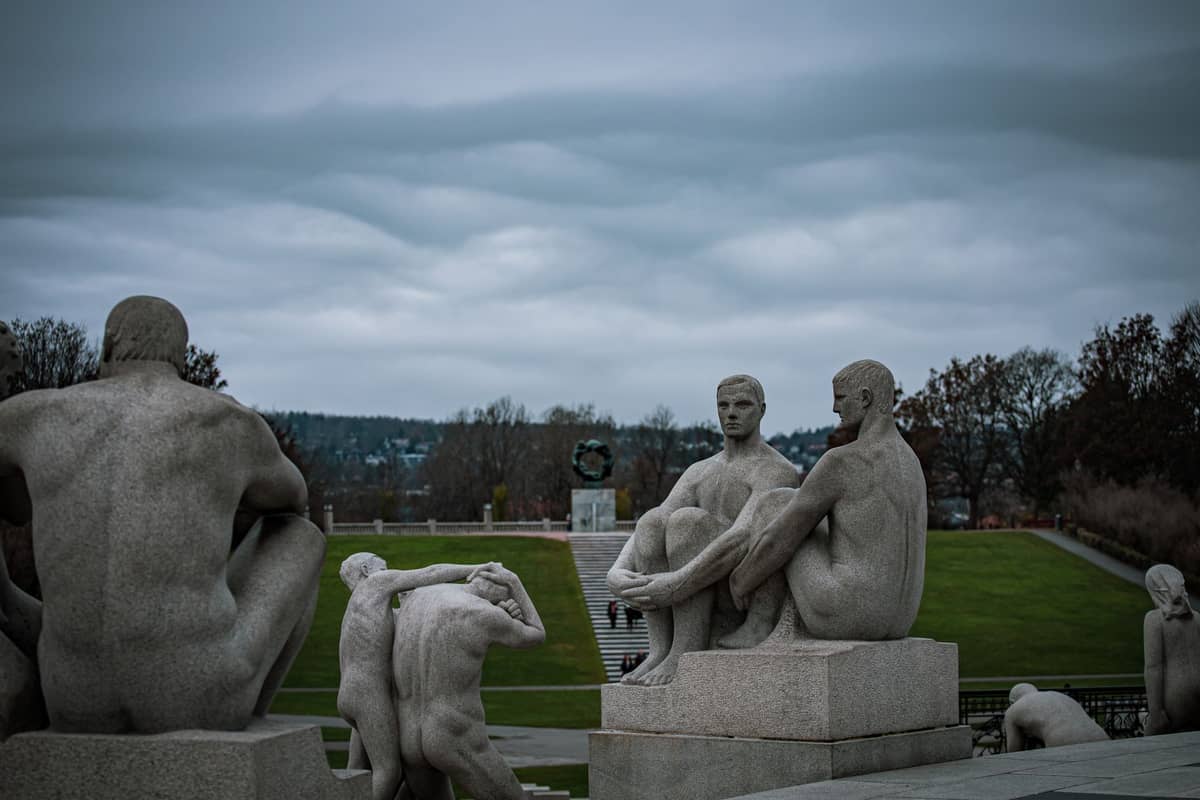
15. Walk Through Vigeland Sculpture Park as Part of a Frogner Green Circuit
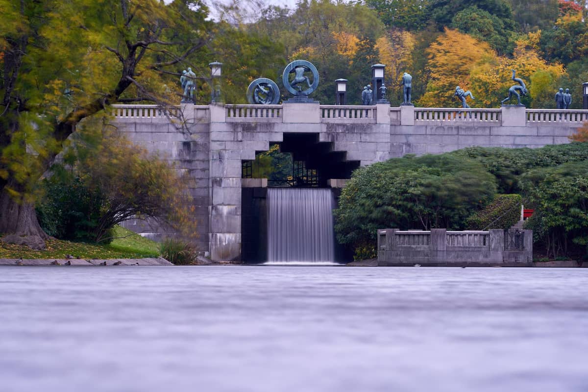
The sculpture park's central axis makes a compelling addition to a Frogner Park walking loop. The route from the main gate to the Monolith and back is about 2 kilometres of easy walking with 200+ sculptures to take in. Go early morning to have the granite figures largely to yourself.
Explore15. Walk Through Vigeland Sculpture Park as Part of a Frogner Green Circuit
The sculpture park's central axis makes a compelling addition to a Frogner Park walking loop. The route from the main gate to the Monolith and back is about 2 kilometres of easy walking with 200+ sculptures to take in. Go early morning to have the granite figures largely to yourself.
Explore✨ Pro tip
The Oslo Pass covers public transport including metro, trams, buses, local trains and Ruter ferries in zones 1–4 — including routes to trailheads like Sognsvann, Frognerseteren, and the Oslofjord island ferries — useful if you plan to hike on multiple days. Check the Oslo Pass guide for current pricing and whether it suits your itinerary.
FAQ
Do I need to buy a ticket to hike in Nordmarka?
No. Nordmarka is a public forest area with no entry fee. The only cost is your Ruter public transport fare to reach the trailheads at Sognsvann or Frognerseteren. Verify current Ruter fares on their official website before travelling as prices are updated periodically.
What is the best starting point for a Nordmarka hike from central Oslo?
Sognsvann, on metro Line 5, is the most popular starting point and offers a flat lakeside loop suitable for all levels. Frognerseteren, the Line 1 terminus, is better for longer routes deeper into the forest and has great views right from the start.
Are the hiking trails in Oslo suitable for beginners?
Yes. The Sognsvann lake loop (about 3.3 km, flat), the Akerselva river walk (fully paved or compacted gravel), and the Bygdøy coastal path are all manageable without hiking experience or special gear. Nordmarka's longer routes require more fitness and basic trail navigation but are well-marked.
When is the best time of year for hiking in Oslo?
June through September offers the best conditions, with long daylight hours, reliable trail access, and warm enough temperatures for fjord swimming after walks. May and October are also viable with appropriate layers. In winter, the same Nordmarka trails are used for cross-country skiing rather than hiking.
Can I hike to the Oslofjord islands, or do I need a boat?
You need a ferry, but it's straightforward: public ferries depart from Aker Brygge and are covered by the standard Ruter ticket (the same ticket used for metro and tram). Crossing time to Hovedøya is about 10 minutes. Check current Ruter timetables as seasonal schedules vary.
Tickets & tours
Live prices and dates from our booking partner. If you book, we may earn a commission at no extra cost to you.
Planning a trip? Discover personalized activities with the Nomado app.