Best Hikes Near Las Vegas: 15 Trails Worth the Drive
Las Vegas sits within striking distance of some of the American Southwest's most dramatic hiking terrain. From sandstone canyon walls 20 minutes from the Strip to alpine forests on Mount Charleston and the towering cliffs of Zion, these are the trails that make the desert city one of the best bases for outdoor adventure in the country.
Plan and book this trip
Tools from our partner Travelpayouts help you compare flights and hotels. If you book through them, we may earn a commission at no extra cost to you.
Flights
Hotels map
Most visitors never leave the casino floor, but those who do discover that Las Vegas is surrounded by extraordinary wilderness. Within a two-hour drive, you can hike through ancient lava fields, slot canyons, alpine meadows, and sheer sandstone walls. This guide covers the best hikes across every distance and difficulty level, from quick half-day trips to full-day national park adventures. For context on planning your overall visit, see our complete Las Vegas guide and our breakdown of the best day trips from Las Vegas for multi-stop itinerary ideas.
⚠️ What to skip
Desert heat is serious: Valley of Fire trails including Fire Wave are closed May 15–September 30. Red Rock Canyon requires a timed-entry reservation (via Recreation.gov) for vehicles Oct 1–May 31 between 8am–5pm. Start any desert hike before 8am in warm months.
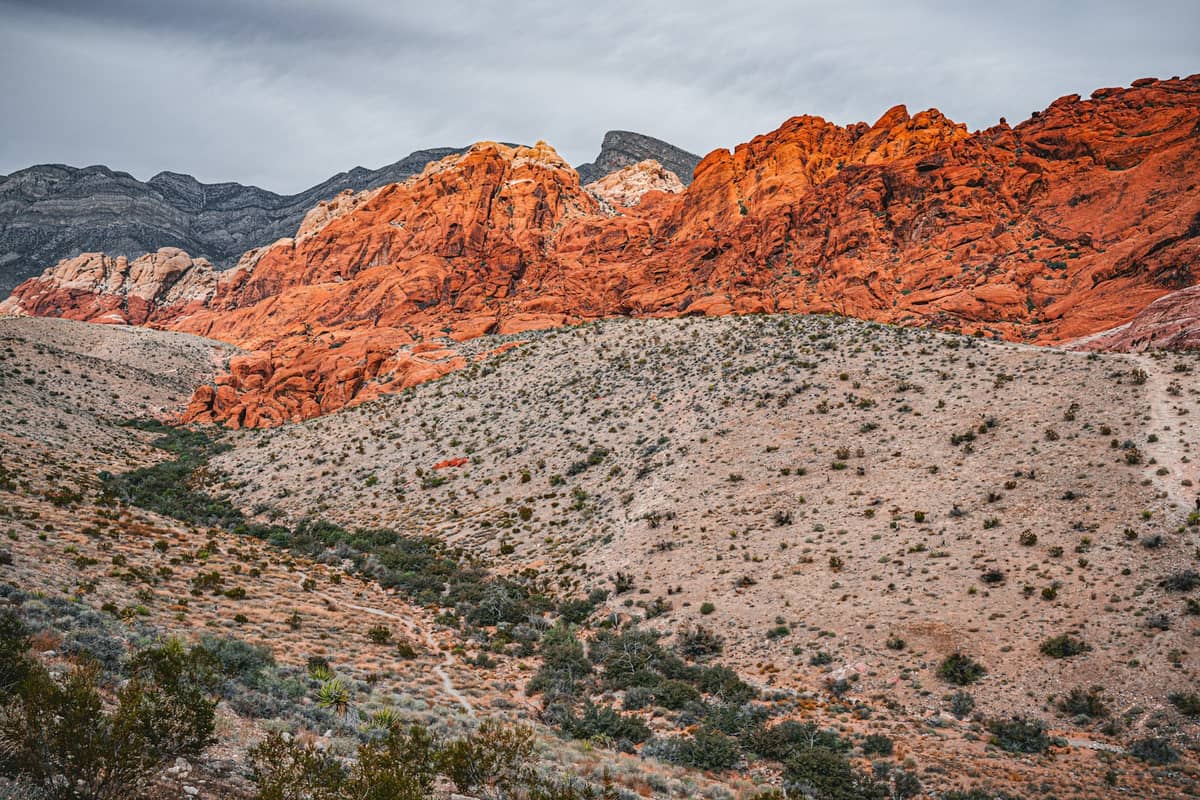
Red Rock Canyon: Best Hikes 20 Miles from the Strip
Red Rock Canyon National Conservation Area is the closest serious hiking destination to Las Vegas, sitting just 17 miles west of the Strip in the Red Rock Canyon area. Entry via the 13-mile Scenic Drive costs $15 per vehicle (plus a $2 timed-entry reservation fee when required), and timed-entry reservations are required October through May. The variety is remarkable: easy scrambles on painted sandstone, shaded canyon slot hikes, and multi-hour trail runs, all within the same conservation area.
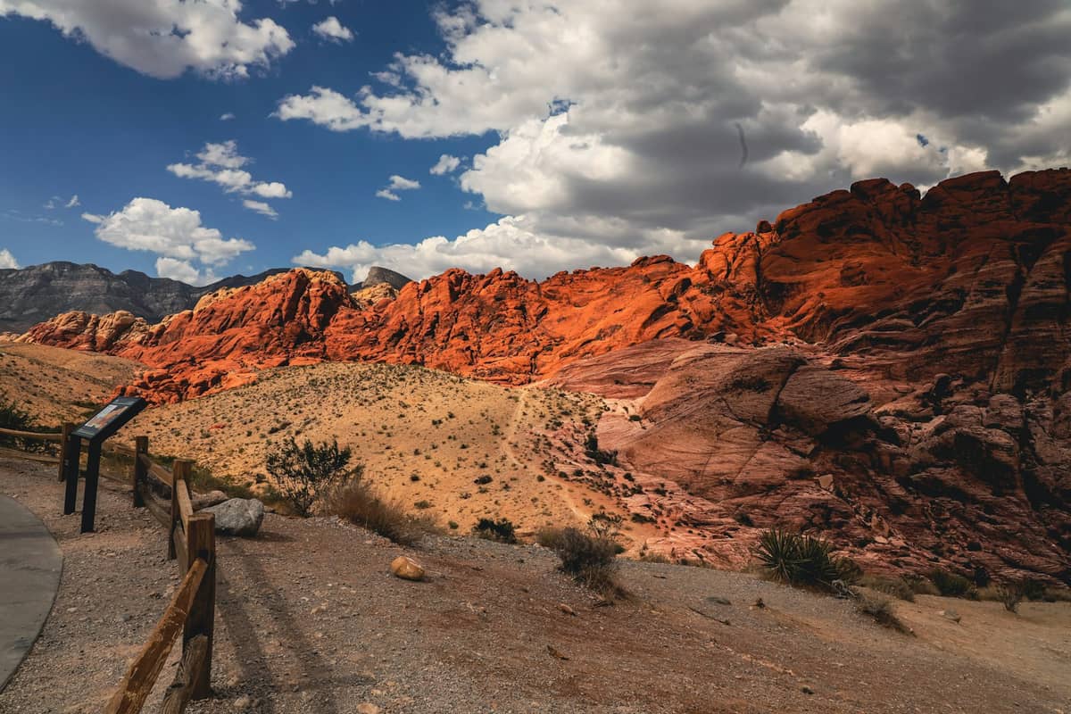
1. Drive the 13-Mile Loop and Access Every Trailhead
The one-way Scenic Drive is the backbone of Red Rock hiking, connecting trailheads for a dozen routes. It opens daily at 6am, so arrive early to beat crowds and heat. Timed-entry reservations are required Oct–May for vehicles entering between 8am–5pm.
Explore1. Drive the 13-Mile Loop and Access Every Trailhead
The one-way Scenic Drive is the backbone of Red Rock hiking, connecting trailheads for a dozen routes. It opens daily at 6am, so arrive early to beat crowds and heat. Timed-entry reservations are required Oct–May for vehicles entering between 8am–5pm.
Explore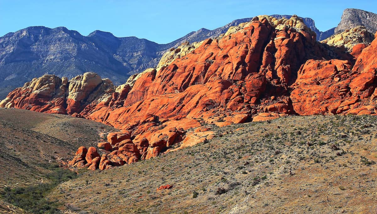
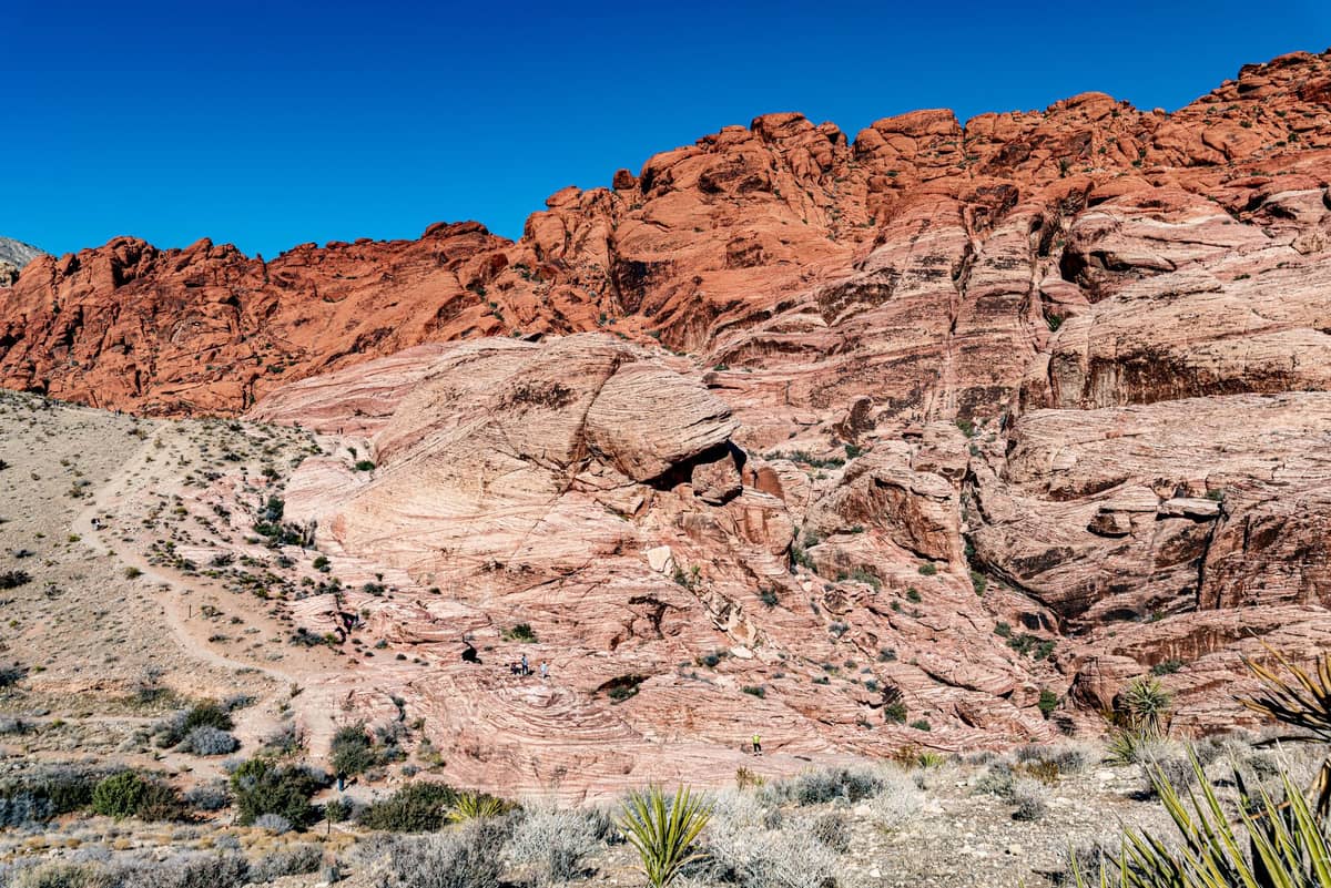
2. Scramble the Vivid Sandstone at Calico Hills
Calico Hills offer the most accessible hiking in Red Rock: short, easy trails and sandstone scrambles among bands of red and cream rock that glow brilliantly at sunrise. No technical skills needed, and the photography at golden hour is exceptional.
Explore2. Scramble the Vivid Sandstone at Calico Hills
Calico Hills offer the most accessible hiking in Red Rock: short, easy trails and sandstone scrambles among bands of red and cream rock that glow brilliantly at sunrise. No technical skills needed, and the photography at golden hour is exceptional.
Explore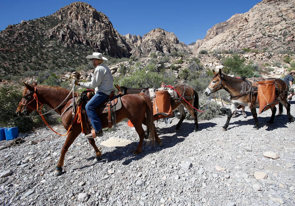
3. Find Shade and a Waterfall in Ice Box Canyon
One of Red Rock's best hikes for warmer days, Ice Box Canyon cuts through a narrow sandstone gorge with natural shade. The 2.6-mile round trip leads to a seasonal waterfall and features genuine wilderness atmosphere just 20 miles from the Strip.
Explore3. Find Shade and a Waterfall in Ice Box Canyon
One of Red Rock's best hikes for warmer days, Ice Box Canyon cuts through a narrow sandstone gorge with natural shade. The 2.6-mile round trip leads to a seasonal waterfall and features genuine wilderness atmosphere just 20 miles from the Strip.
Explore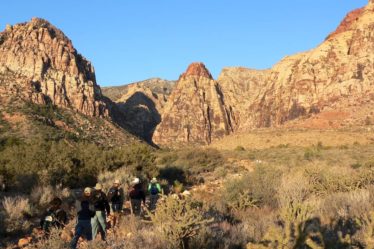
4. Hike to a Historic Homestead Through Pine Creek Canyon
Pine Creek Canyon is Red Rock's most scenically diverse trail: riparian vegetation, cottonwood trees, a ruined 1920s homestead, and sweeping red rock formations. The moderate 3.2-mile round trip is one of the most rewarding hikes in the conservation area.
Explore4. Hike to a Historic Homestead Through Pine Creek Canyon
Pine Creek Canyon is Red Rock's most scenically diverse trail: riparian vegetation, cottonwood trees, a ruined 1920s homestead, and sweeping red rock formations. The moderate 3.2-mile round trip is one of the most rewarding hikes in the conservation area.
ExploreValley of Fire: Surreal Landscapes 55 Miles from Las Vegas
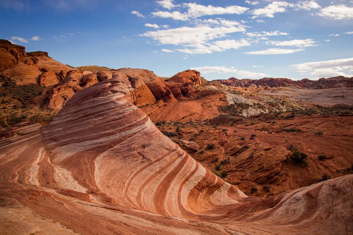
Nevada's oldest state park packs extraordinary geology into a compact area. Day-use admission is $15 per out-of-state vehicle (and $10 for Nevada-registered vehicles). The critical planning note: key trails including Fire Wave are closed May 15 through September 30 due to extreme heat. If you're visiting in shoulder season, Valley of Fire pairs beautifully with a stop at less-visited Las Vegas attractions for a full day out.
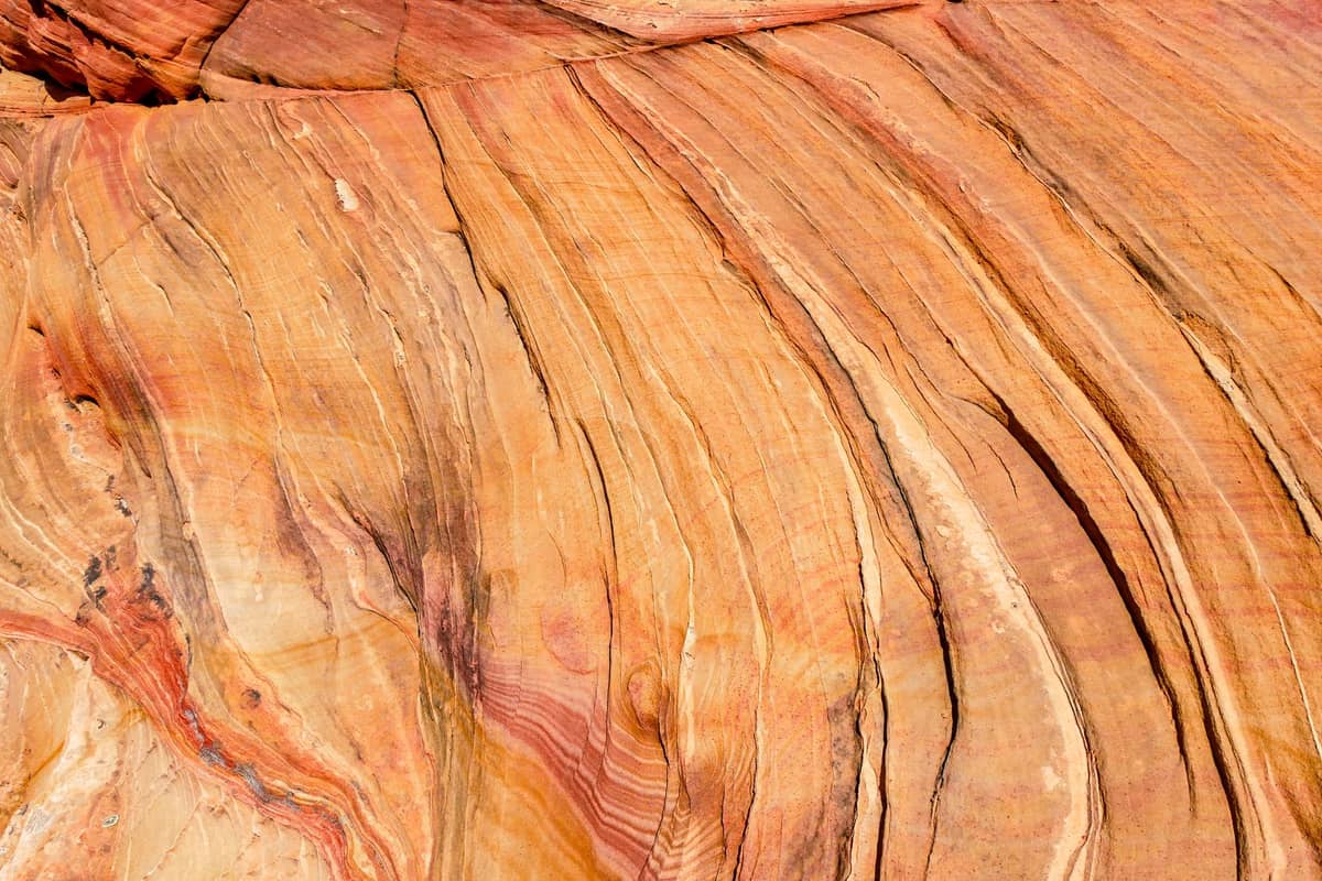
5. Hike to Fire Wave, the Park's Iconic Sandstone Formation
The Fire Wave Trail (1.5 miles round trip) leads to swirling pink, red, and white sandstone that looks like a frozen ocean wave. It is the most photographed formation in Valley of Fire. Closed May 15–Sept 30. Go at sunrise for golden light and no crowds.
Explore5. Hike to Fire Wave, the Park's Iconic Sandstone Formation
The Fire Wave Trail (1.5 miles round trip) leads to swirling pink, red, and white sandstone that looks like a frozen ocean wave. It is the most photographed formation in Valley of Fire. Closed May 15–Sept 30. Go at sunrise for golden light and no crowds.
Explore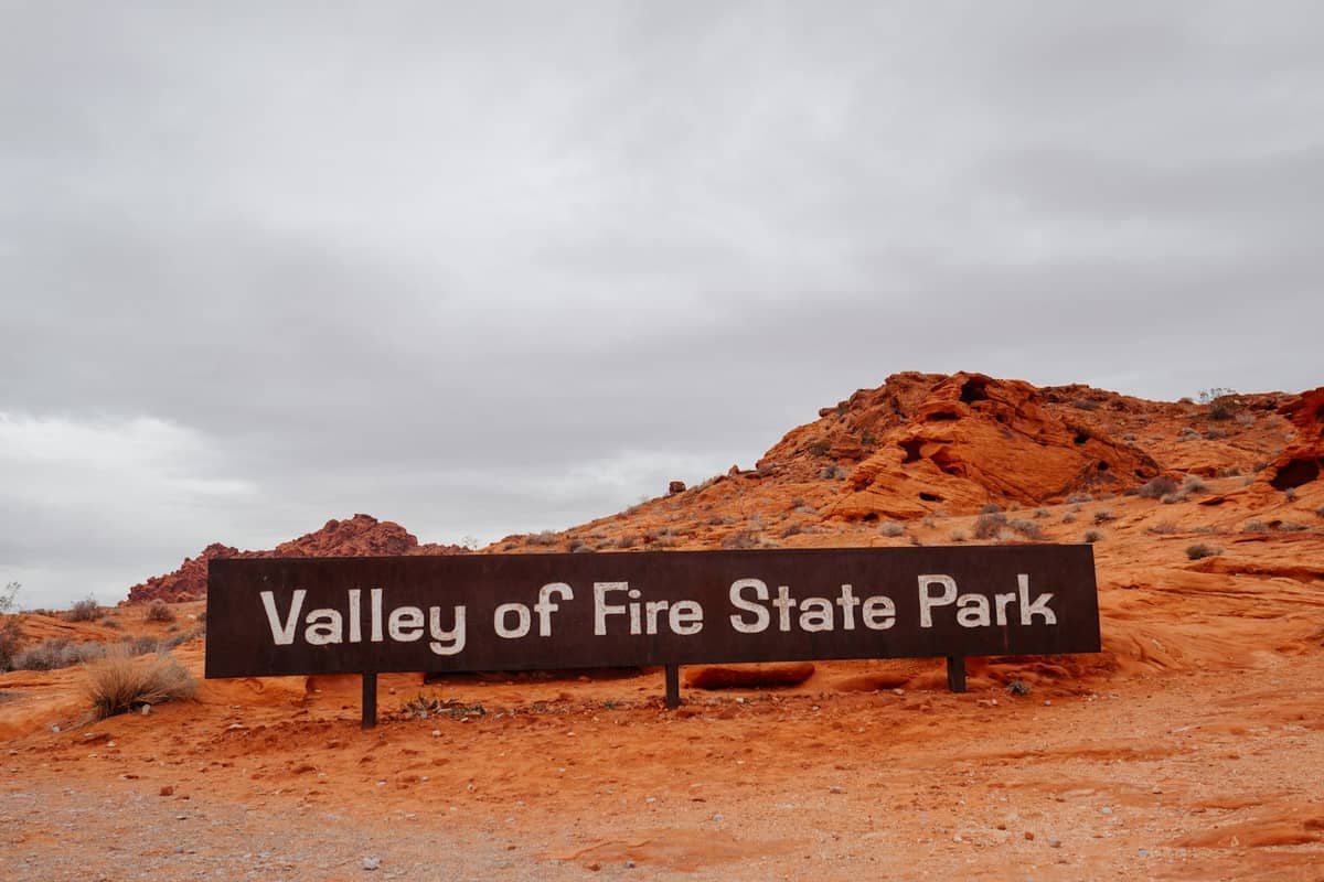
6. Explore Ancient Petroglyphs and Alien Landscapes at Valley of Fire
Beyond Fire Wave, Valley of Fire has 40,000 acres of red sandstone formations, ancient Anasazi petroglyphs, and film-location landscapes. The White Domes loop and Pastel Canyon are equally spectacular. All trails are open October through mid-May.
Explore6. Explore Ancient Petroglyphs and Alien Landscapes at Valley of Fire
Beyond Fire Wave, Valley of Fire has 40,000 acres of red sandstone formations, ancient Anasazi petroglyphs, and film-location landscapes. The White Domes loop and Pastel Canyon are equally spectacular. All trails are open October through mid-May.
ExploreMount Charleston & Lee Canyon: Alpine Escapes About 35 Miles from the Strip
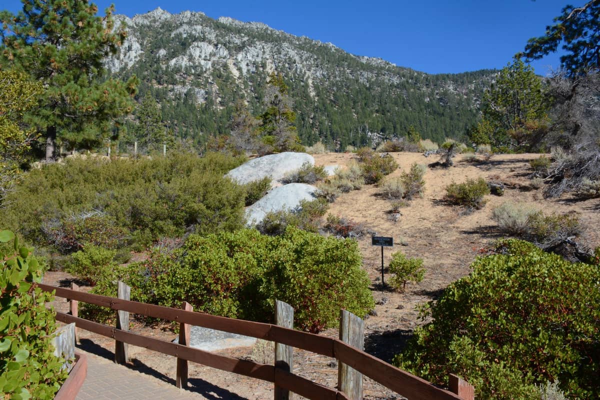
When summer heat closes Valley of Fire trails and makes desert hiking dangerous, Mount Charleston becomes Las Vegas's best hiking escape. Temperatures run 20–30°F cooler than the valley floor, and the trails here feel nothing like the Mojave Desert below. It's one of the Southwest's most dramatic elevation transitions, and a compelling reason to look beyond the Strip when planning your trip.
7. Summit Charleston Peak on the Challenging Summit Trail
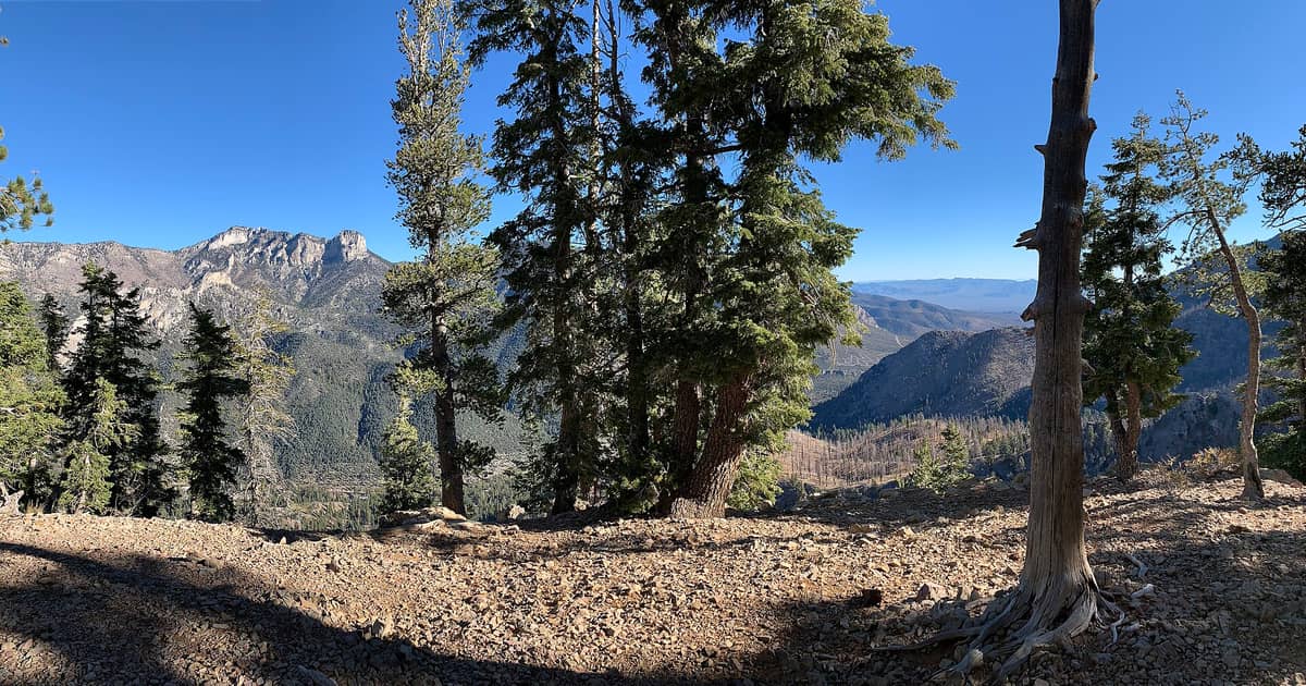
At 11,918 feet, Charleston Peak is Nevada's highest accessible summit near Las Vegas. The summit trail is 17 miles round trip with 4,000 feet of gain — a serious all-day hike. Shorter trails through bristlecone pine forest are rewarding even without the full climb.
Explore7. Summit Charleston Peak on the Challenging Summit Trail
At 11,918 feet, Charleston Peak is Nevada's highest accessible summit near Las Vegas. The summit trail is 17 miles round trip with 4,000 feet of gain — a serious all-day hike. Shorter trails through bristlecone pine forest are rewarding even without the full climb.
Explore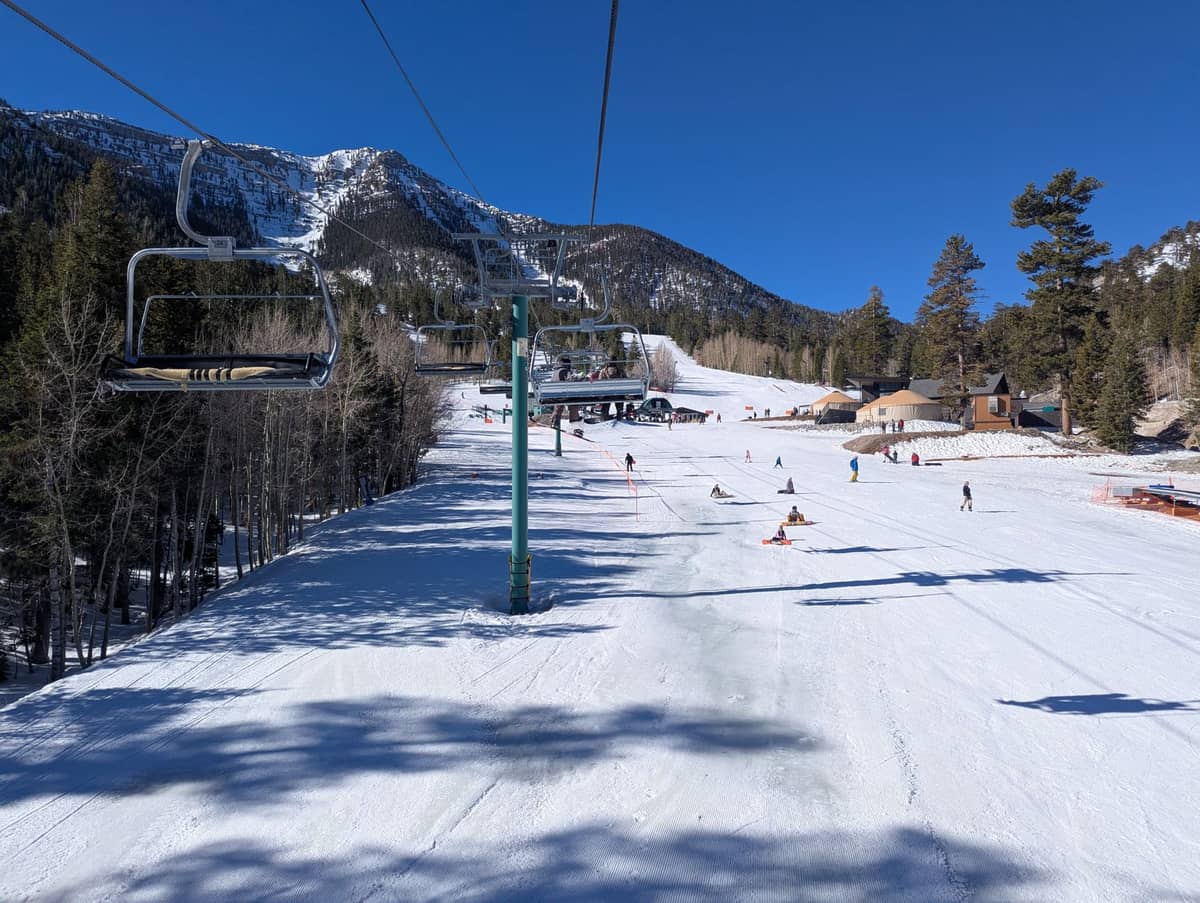
8. Hike Scenic Mountain Trails Above Lee Canyon in Summer
Lee Canyon sits at 9,370 feet and transforms into a summer hiking destination when the ski lifts stop running. Trails through high-elevation meadows and pine forest offer cool air and mountain scenery just 47 miles from the Strip, making it a practical hot-weather escape.
Explore8. Hike Scenic Mountain Trails Above Lee Canyon in Summer
Lee Canyon sits at 9,370 feet and transforms into a summer hiking destination when the ski lifts stop running. Trails through high-elevation meadows and pine forest offer cool air and mountain scenery just 47 miles from the Strip, making it a practical hot-weather escape.
ExploreLake Mead & Hoover Dam: History and Desert Trails
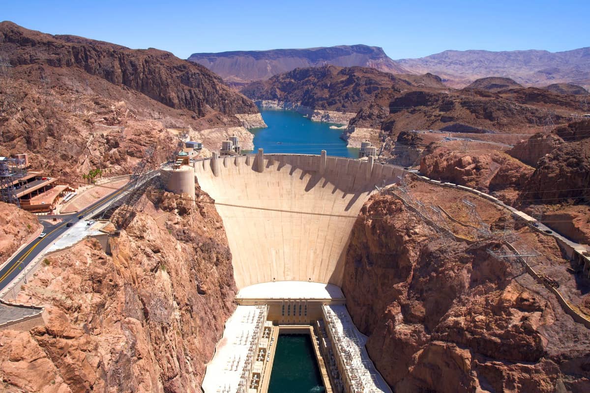
The Lake Mead National Recreation Area stretches across the Nevada-Arizona border and offers a different kind of hiking than the sandstone canyons to the west. The terrain here is volcanic and rugged, with the added dimension of the Colorado River corridor and Hoover Dam. It's a particularly good choice for travelers who want to combine a hike with sightseeing at one of America's engineering landmarks.
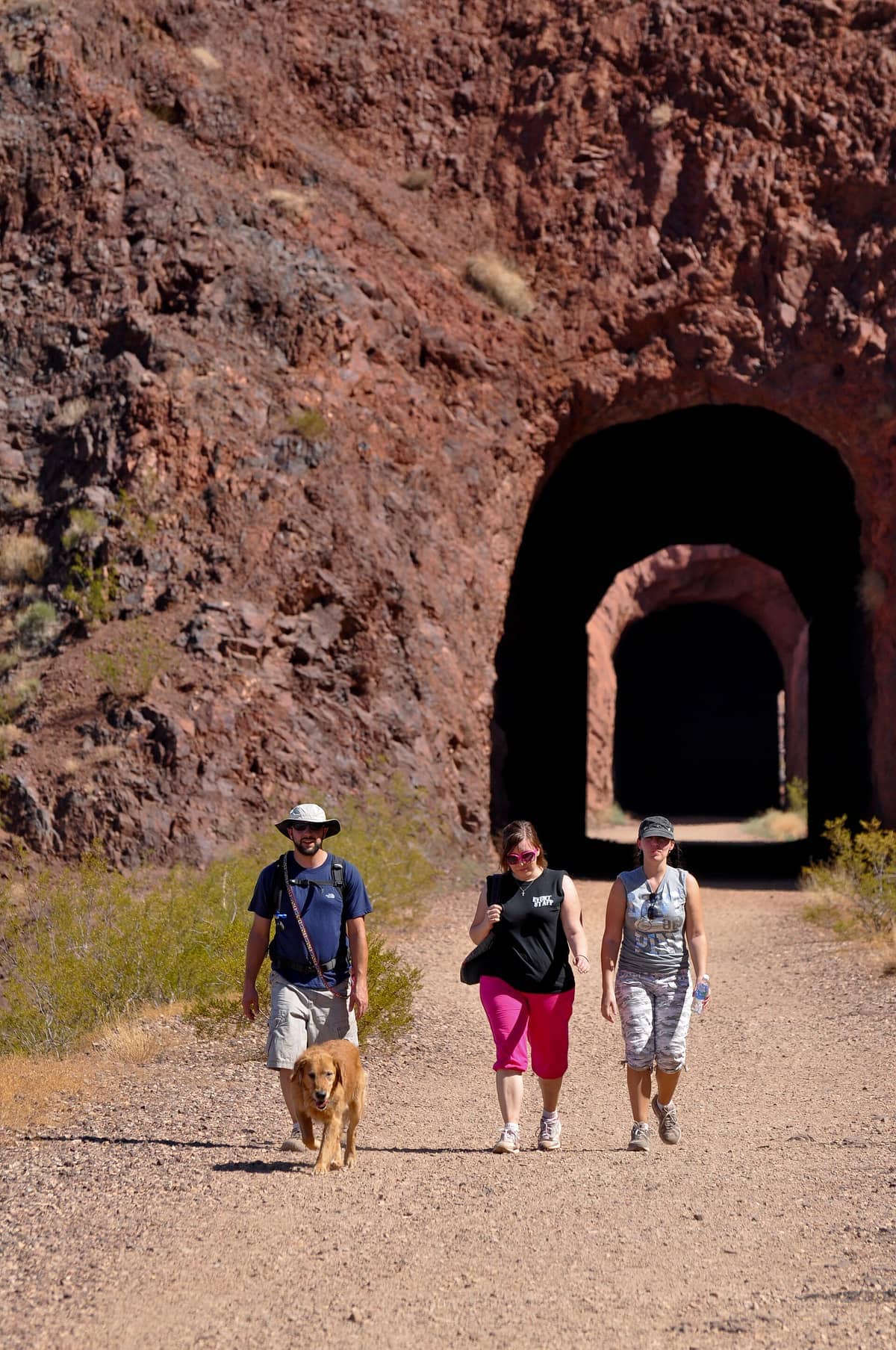
9. Hike Through Tunnel-Blasted Rock on the Historic Railroad Trail
This 7.5-mile out-and-back follows the original railroad bed used to build Hoover Dam, passing through five tunnels blasted through solid rock. Dramatic Lake Mead views throughout. Easy to moderate terrain, minimal elevation gain, and historically fascinating from start to finish.
Explore9. Hike Through Tunnel-Blasted Rock on the Historic Railroad Trail
This 7.5-mile out-and-back follows the original railroad bed used to build Hoover Dam, passing through five tunnels blasted through solid rock. Dramatic Lake Mead views throughout. Easy to moderate terrain, minimal elevation gain, and historically fascinating from start to finish.
Explore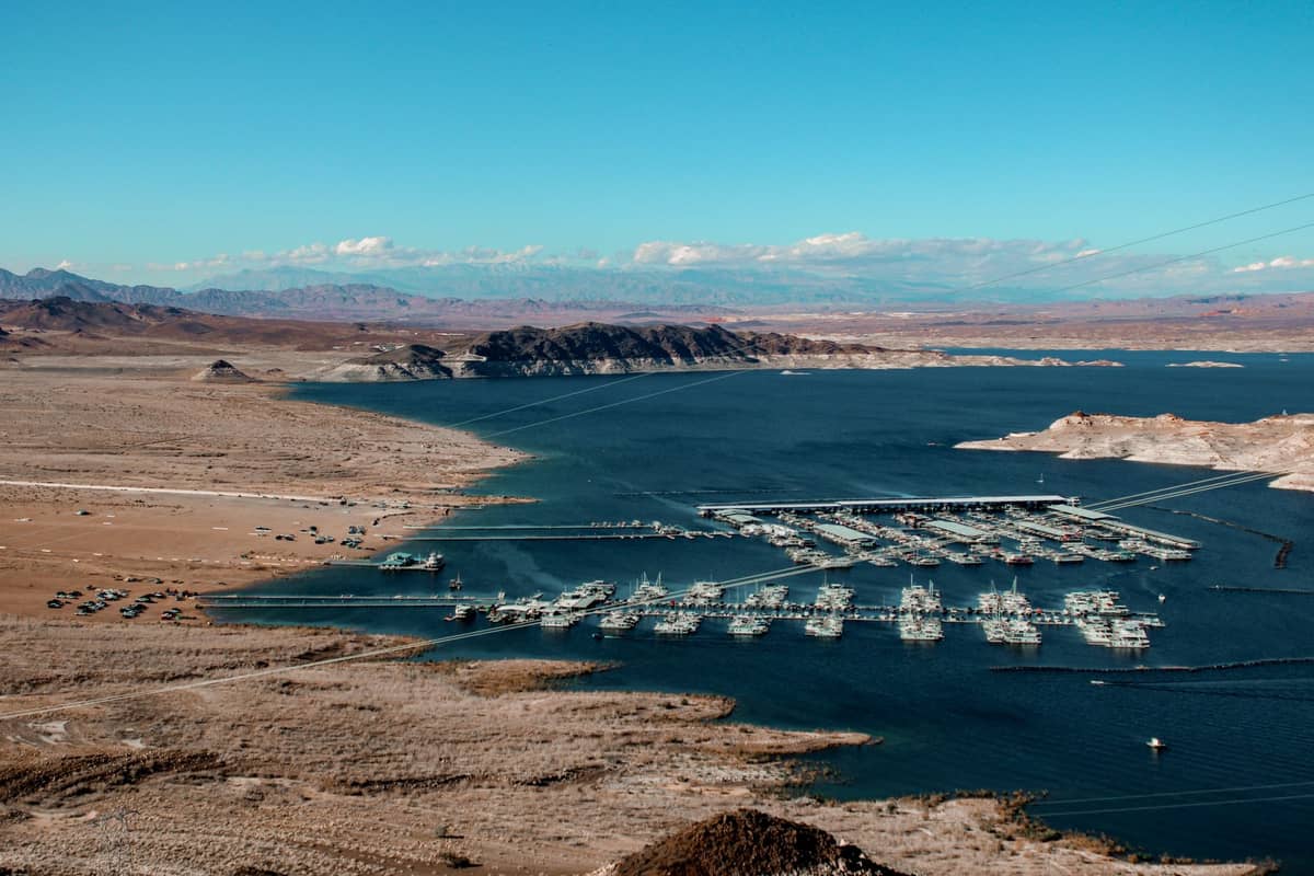
10. Explore Desert Canyons and Colorado River Views at Lake Mead
Lake Mead's trail network includes volcanic canyon hikes, lakeside routes, and multi-day backcountry options across a vast desert landscape. The Redstone Dunes and Anniversary Narrows trails offer solitude and striking geology that most Las Vegas visitors completely overlook.
Explore10. Explore Desert Canyons and Colorado River Views at Lake Mead
Lake Mead's trail network includes volcanic canyon hikes, lakeside routes, and multi-day backcountry options across a vast desert landscape. The Redstone Dunes and Anniversary Narrows trails offer solitude and striking geology that most Las Vegas visitors completely overlook.
Explore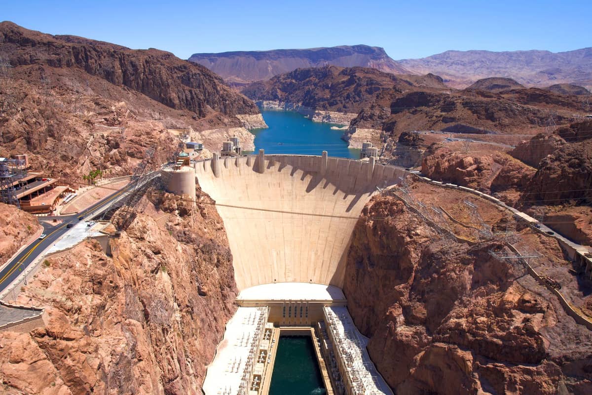
11. Walk Across Hoover Dam and the Mike O'Callaghan Bridge
The walkway across Hoover Dam and the pedestrian path on the Memorial Bridge above it offer dramatic Colorado River gorge views. Not a trail hike, but a 30-minute walk combining engineering history with canyon scenery, and a natural pairing with the Railroad Trail nearby.
Explore11. Walk Across Hoover Dam and the Mike O'Callaghan Bridge
The walkway across Hoover Dam and the pedestrian path on the Memorial Bridge above it offer dramatic Colorado River gorge views. Not a trail hike, but a 30-minute walk combining engineering history with canyon scenery, and a natural pairing with the Railroad Trail nearby.
ExploreNational Parks Worth the Drive: Zion and the Grand Canyon
Las Vegas is positioned within striking distance of two of America's greatest national parks. Zion is 2.5 hours northeast and Grand Canyon West Rim is about the same distance southeast. Both work as long day trips, though an overnight stay opens up significantly more hiking options. If you're planning a multi-day park itinerary, our day trips from Las Vegas guide covers logistics for both destinations in detail.
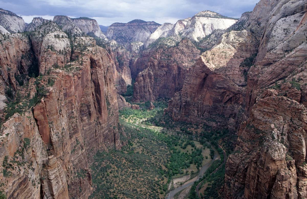
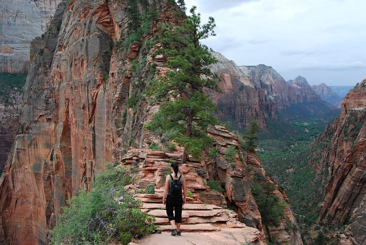
12. Hike the Narrows Slot Canyon or Angels Landing at Zion
Zion is the best national park hike from Las Vegas. The Narrows, a wade through the Virgin River in a towering slot canyon, is one of America's great trail experiences. Angel's Landing requires a permit but rewards with exposed ridge views. Allow a full day; plan to stay overnight.
Explore12. Hike the Narrows Slot Canyon or Angels Landing at Zion
Zion is the best national park hike from Las Vegas. The Narrows, a wade through the Virgin River in a towering slot canyon, is one of America's great trail experiences. Angel's Landing requires a permit but rewards with exposed ridge views. Allow a full day; plan to stay overnight.
Explore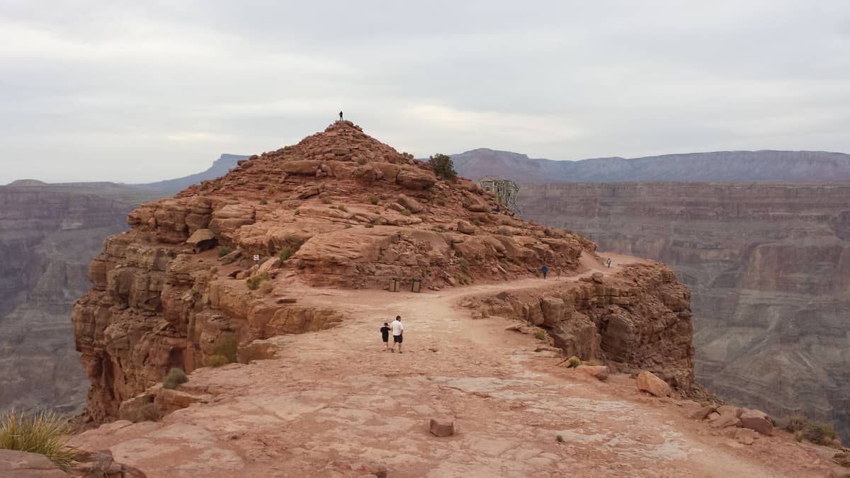
13. Stand on the Glass-Bottomed Skywalk at Grand Canyon West Rim
The West Rim is the closest Grand Canyon access point to Las Vegas at about 2.5 hours. The Hualapai Tribe operates rim-edge walking trails with open canyon views, plus the famous Skywalk glass bridge extending 70 feet over the rim. Scenic but less wild than the South Rim.
Explore13. Stand on the Glass-Bottomed Skywalk at Grand Canyon West Rim
The West Rim is the closest Grand Canyon access point to Las Vegas at about 2.5 hours. The Hualapai Tribe operates rim-edge walking trails with open canyon views, plus the famous Skywalk glass bridge extending 70 feet over the rim. Scenic but less wild than the South Rim.
Explore✨ Pro tip
For Zion, book your Angels Landing permit through the National Park Service lottery months in advance. For Red Rock Canyon Scenic Drive, reserve your timed-entry slot on Recreation.gov — popular dates sell out weeks ahead between October and May.
Desert Art and Easy Walks Worth Combining with a Hike


14. Stop at Seven Magic Mountains Between Las Vegas and Valley of Fire
Seven neon-painted boulder towers rise from the Mojave Desert alongside I-15, just 10 miles south of Las Vegas. It takes 15–20 minutes to walk around and photograph, making it a natural stop on the drive to Valley of Fire or the Grand Canyon West Rim. Free, open 24 hours.
Explore14. Stop at Seven Magic Mountains Between Las Vegas and Valley of Fire
Seven neon-painted boulder towers rise from the Mojave Desert alongside I-15, just 10 miles south of Las Vegas. It takes 15–20 minutes to walk around and photograph, making it a natural stop on the drive to Valley of Fire or the Grand Canyon West Rim. Free, open 24 hours.
Explore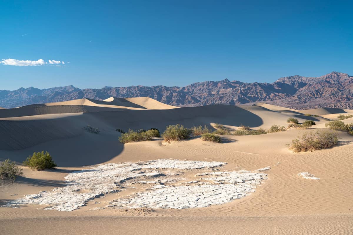
15. Hike Badwater Basin and Zabriskie Point in Death Valley
Death Valley is 3–4 hours from Las Vegas and contains some of the most otherworldly hiking terrain on earth. Badwater Basin at 282 feet below sea level, the colored Artist's Palette hills, and Mosaic Canyon slot hike are all remarkable. Only viable October through early April.
Explore15. Hike Badwater Basin and Zabriskie Point in Death Valley
Death Valley is 3–4 hours from Las Vegas and contains some of the most otherworldly hiking terrain on earth. Badwater Basin at 282 feet below sea level, the colored Artist's Palette hills, and Mosaic Canyon slot hike are all remarkable. Only viable October through early April.
ExploreFAQ
What is the closest hiking to Las Vegas?
Red Rock Canyon National Conservation Area is the closest serious hiking destination, just 17 miles west of the Strip. The Calico Hills scrambles and Ice Box Canyon trail are accessible within 30–40 minutes of most Strip hotels. Entry costs $20 per vehicle; timed-entry reservations are required 8 a.m.–5 p.m. from October through May, and timed reservations are required Oct–May.
Can you hike near Las Vegas in summer?
Yes, but you need to choose carefully. Valley of Fire trails including Fire Wave are closed May 15–September 30 due to dangerous heat. In summer, hike at Red Rock Canyon before 9am, or head up to Mount Charleston where temperatures run 20–30°F cooler than the Las Vegas Valley. Desert hikes are generally not safe after 10am in July and August.
Do I need a reservation to hike at Red Rock Canyon?
You need a timed-entry vehicle reservation to use the Scenic Drive between 8am and 5pm from October 1 through May 31. Reservations are booked through Recreation.gov and include a $2 fee on top of the $15 vehicle entry. Arriving before 8am or after 5pm during that window skips the reservation requirement.
Is Zion National Park doable as a day trip from Las Vegas?
Yes, Zion is about 2.5 hours from Las Vegas and works as a long day trip. Leave by 6am to maximize hiking time. The Narrows and the Emerald Pools are accessible without permits. Angels Landing requires an advance permit through the NPS lottery. An overnight stay in Springdale is worth it for an early start on trails.
What should I bring on a desert hike near Las Vegas?
Carry at least one liter of water per hour of hiking, sunscreen, a hat, and snacks. Start before 8am in spring and fall, before dawn in summer. Tell someone your plans. Many desert rescues near Las Vegas involve hikers who underestimated heat and ran out of water — the terrain looks accessible but conditions change quickly.