Gran Canaria Road Trip: The Ultimate Driving Guide
Gran Canaria packs semi-arid landscapes, volcanic peaks, and colonial towns into 1,560 km² — small enough to drive in a day, varied enough to spend a week exploring by car. This guide covers car rental costs, the best driving routes, the GC-200 road closure reality, and practical rules of the road so you can plan without surprises.
TL;DR
- Gran Canaria is 1,560 km² — compact enough that a practical loop using the current inland detours takes under a day to drive, but rewarding enough to stretch over several days of stops.
- Car hire at Gran Canaria Airport (LPA) starts around €11–35 per day depending on season and provider — book in advance via comparison platforms for the best rates.
- The classic GC-200 coastal cliff road between Agaete and La Aldea is permanently closed after a landslide. Full-island loop itineraries need updating.
- Mountain roads around Tejeda and Artenara are spectacular but can close after storms — check conditions before heading inland in winter.
- Driving is by far the best way to reach the interior, the northwest coast, and the volcanic highlands that buses simply don't serve well.
Why a Road Trip Is the Best Way to See Gran Canaria
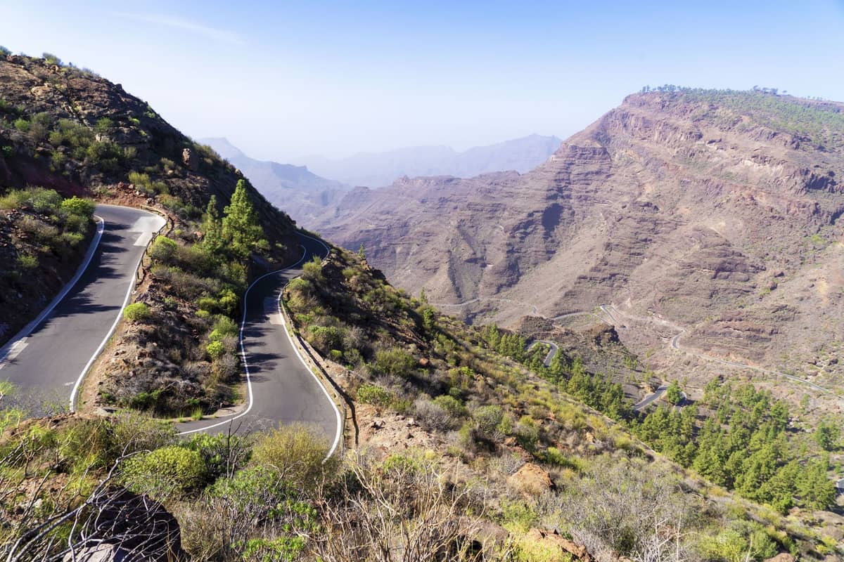
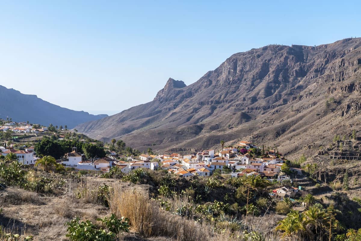
Gran Canaria's public bus network, operated by Global (Guaguas Global), covers the main tourist corridors well — Maspalomas to Las Palmas, airport connections, the coast. But the island's real character lives in the interior: mountain villages at 1,200 metres, barrancos carved by ancient rivers, and viewpoints that appear without warning on a road you'd never find on a tour bus itinerary.
The island measures roughly 50 km across at its widest point, but elevation change does most of the work. You can leave a beach at sea level and be in a pine forest above 1,300 metres within about 45 minutes. That kind of terrain compression makes self-drive itineraries exceptionally rewarding — and makes guided tours feel genuinely limiting by comparison.
ℹ️ Good to know
Gran Canaria sits in the Atlantic at approximately 28°N, sharing a subtropical climate with the rest of the Canary Islands. The island's varied microclimates mean the south can be sunny and warm while the central highlands are wrapped in cloud — sometimes on the same afternoon. This is not exaggeration; it is the normal pattern from autumn through spring.
Renting a Car: Costs, Platforms, and What to Watch For
Gran Canaria Airport (LPA) is well served by both international chains and local Spanish rental companies. Prices vary significantly by season and how far in advance you book. A reasonable planning figure for an economy or small car is €11–35 per day when booked through a comparison platform. Budget deals — particularly from local or lesser-known operators — can drop to €4–12 per day in low season. International brands like Hertz price closer to €49 per day for automatic compact models, especially during peak weeks in July, August, and over Christmas.
- Comparison platforms DiscoverCars, Kayak, Skyscanner, Expedia, and DoYouSpain all offer airport pickup and allow side-by-side comparisons including insurance terms — check the excess waiver costs carefully before confirming.
- Book early for summer and carnival season July, August, and the week around Gran Canaria Carnival (usually February) see significant price spikes. Booking 4–6 weeks ahead can cut costs by 30–40% versus booking on arrival.
- Automatic vs manual Mountain roads around Tejeda and Artenara involve sustained steep switchbacks. If you're not confident with manual gearboxes on mountain descents, pay the premium for automatic.
- Fuel policy Full-to-full policies are the cleanest option. Avoid pre-paid fuel packages — they almost never work out in your favour unless you plan to return the car on empty.
- Excess insurance Many comparison platforms include excess cover in their all-in price, but read the fine print. Third-party excess policies (e.g., through insurance providers like iCarhireinsurance) are often cheaper than the rental company's own waiver.
⚠️ What to skip
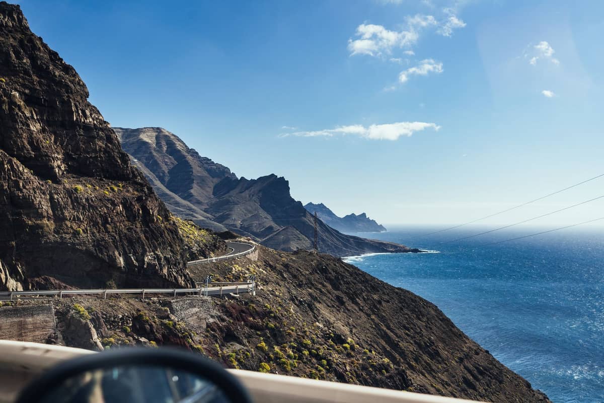
The GC-200 coastal cliff road between Agaete and La Aldea is closed to through traffic along the Faneque/Andén Verde section following landslides, and there is no longer a continuous coastal through route. From the south, you can still drive as far as Mirador El Balcón, but there is no through route. Plan your itinerary around this before you leave.
The Best Driving Routes on Gran Canaria
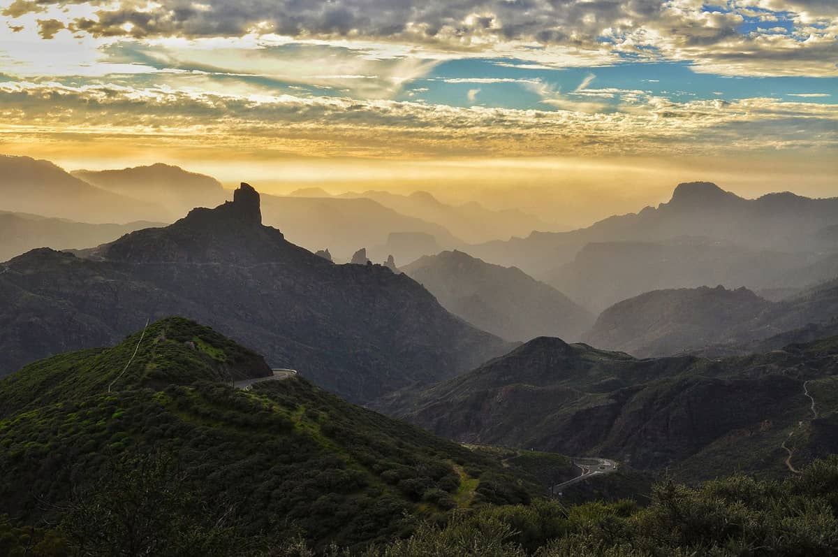
The island divides naturally into four driving territories: the north and northwest coast, the volcanic interior, the southern resort strip, and the capital Las Palmas. Each rewards a different pace. The most scenically concentrated drive on the island is the route from Agaete south toward the interior via Artenara, looping through Tejeda and down to the coast — a half-day circuit that passes through three distinct climate zones.
The northwest coastal road, the surviving section of the GC-200, is still driveable from the south as far as Mirador del Balcón — and that stretch alone justifies the detour. The views over the Atlantic from the cliff edge are some of the most dramatic on the island, and crowds are thin outside of weekend afternoons.
- Route 1: North Coast and Interior Loop (half day, approx. 80 km) Start in Agaete, head inland via Artenara (the highest village on the island at around 1,270 m), continue to Cruz de Tejeda for panoramic views, then drop south through Tejeda village and back to the coast. Add the Roque Nublo hike if time allows.
- Route 2: The Southern Dunes and Canyons (half day, approx. 60 km) Base in Maspalomas or Playa del Inglés, drive west through Mogán and inland via Fataga to the Barranco de Fataga. Return via the GC-60. The canyon scenery between Fataga and San Bartolomé de Tirajana is undervisited and genuinely striking.
- Route 3: Las Palmas to the Peaks (full day, approx. 120 km) Head out of Las Palmas via Teror, a well-preserved colonial town, continue to Pico de las Nieves (1,949 m, the island's accessible high point), drop to Tejeda, then loop back via Arucas. This route requires a full day to do properly.
- Route 4: East Coast Archaeological Trail (half day, approx. 70 km) Drive south from Las Palmas along the GC-1 motorway, stopping at Cueva Pintada in Gáldar (book in advance), the Cenobio de Valerón caves, and Guayadeque ravine. Best on a weekday when sites are quieter.
Mountain Roads: What Nobody Tells You Before You Drive Them
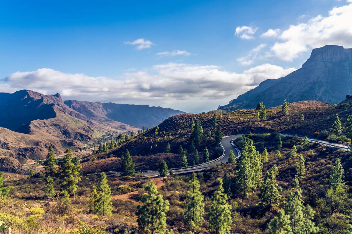
The roads connecting Roque Nublo and Pico de las Nieves to the rest of the island are genuinely narrow in places, with tight hairpin bends and minimal barriers on the exposed sections. Experienced European drivers will find them manageable. Nervous drivers or those unfamiliar with mountain roads should drive slowly and pull into passing places whenever possible — local drivers know these roads and move fast.
Winter weather is a genuine consideration between November and February. Mountain roads around Tejeda, Artenara, and Ayacata can be affected by fog, frost on the tarmac, and periodic landslides after heavy rain. During Storm Claudia in late 2025, sections of GC-200, GC-204, GC-60, and GC-605 were all temporarily closed due to landslide damage. This is not unusual. Before any inland drive between October and March, check road conditions via the Cabildo de Gran Canaria or local news sources.
✨ Pro tip
Morning is by far the best time to drive the mountain interior. Cloud builds from mid-afternoon in the highlands from autumn through spring, and summit views that were clear at 10am are often socked in by 2pm. Start early, and plan lunch in a village rather than at a viewpoint.
The Cruz de Tejeda is the natural crossroads of the island at 1,450 metres, and the parador hotel there is one of the few places you can base yourself in the highlands overnight. Staying here even one night changes your experience entirely — you get the mountain roads in both directions at off-peak times, and the light on the central caldera at dawn is worth the inconvenience of the narrow access road.
Rules of the Road in Gran Canaria
Spanish traffic law applies across Gran Canaria. Drive on the right. Seat belts are mandatory for all occupants. Using a mobile phone without hands-free is illegal and carries on-the-spot fines. The blood alcohol limit is 0.5 g/l (0.25 mg/l breath) for most drivers, with stricter limits for novice and professional drivers — lower than the UK limit, for reference.
Speed limits follow the standard Spanish system: 50 km/h in urban areas, 90–100 km/h on standard interurban roads, and up to 120 km/h on motorways, always subject to posted signs. The GC-1 motorway running along the east coast between Las Palmas and the south is well-maintained and fast. Most interior roads are single-lane or narrow two-lane and should be driven at 40–60 km/h regardless of what the sign says.
💡 Local tip
Spanish police can issue on-the-spot fines, and rental car companies will charge your card for any penalties tied to your vehicle. Carry your driving licence, passport, and rental agreement at all times. If your licence is non-EU, check whether an International Driving Permit is required — EU and most other nationalities can drive on their national licence, but verify before travel.
Practical Tips for Planning Your Gran Canaria Road Trip
Fuel stations are plentiful in Las Palmas, the south coast resort area, and along the GC-1 motorway. In the interior, they are scarce. If you're planning a full day in the mountains, fill up before leaving the coast. The same applies to food and water — villages like Tejeda have bars and small shops, but opening hours can be limited on Sundays and public holidays. For broader context on planning time on the island, the one week in Gran Canaria itinerary integrates driving with accommodation and activity planning.
Parking in Las Palmas city centre, particularly around Vegueta and Triana, is tight. Use the paid underground car parks rather than circling for street spots. In the south, parking at popular beach access points like Maspalomas Dunes fills up early on weekends — arrive before 9am or use the road-trip as a reason to stay overnight in the area rather than commuting from a resort.
For drivers interested in combining road tripping with hiking, the trails around Roque Nublo, the Tamadaba Natural Park in the northwest, and the Barranco de los Cernícalos in the east are all reachable by car with short walks from roadside parking. The hiking in Gran Canaria guide covers trailheads, distances, and difficulty ratings in detail.
If you're combining a Gran Canaria road trip with time in Las Palmas de Gran Canaria, note that the city itself is navigable on foot or by urban bus (guaguas). The historic quarter of Vegueta and the beach district of Las Canteras are best explored without a car — leave it at the hotel and use it only for day trips out of the city.
FAQ
Is it worth renting a car in Gran Canaria?
Yes, especially if you plan to explore beyond the main resort zones and Las Palmas. The interior highlands, northwest coast, and agricultural villages in the centre are either inaccessible or very poorly served by public transport. A car unlocks a completely different version of the island. If you're staying exclusively in a southern resort and have no interest in leaving, you can get by without one — but you'll miss the best of Gran Canaria.
Can you still drive the GC-200 coastal road all the way around Gran Canaria?
No. The cliff section of GC-200 between Agaete and La Aldea is closed to through traffic following landslide damage, and the classic full-island coastal loop is no longer possible. From the south, you can drive the surviving section as far as Mirador El Balcón, which is worth doing for the clifftop views. From Agaete, the coastal route is blocked. Plan your route using the new inland Agaete–La Aldea road instead.
How long does it take to drive around Gran Canaria?
A circuit around the island's perimeter, where roads permit, takes roughly 3.5 to 5 hours of pure driving without stops. But the GC-200 closure means a true perimeter route is no longer possible. Realistically, factor in a full day if you're making meaningful stops — the half-day estimate works only if you're driving fast and skipping everything interesting along the way.
Are mountain roads in Gran Canaria difficult to drive?
They require attention and a comfortable pace, but they're not technically difficult for experienced drivers. The main challenges are narrow lanes with limited passing space, steep hairpin bends on descents, and occasional livestock on the road in rural areas. An automatic gearbox makes the experience considerably less stressful on sustained climbs. Avoid mountain roads in bad weather — fog, rain, and post-storm landslide risk are real factors between November and February.
What is the best time of year for a road trip in Gran Canaria?
March through May and September through October offer the best combination of clear highland views, manageable temperatures for driving with the windows down, and lower risk of mountain road closures. Summer (June–August) is excellent for coastal driving but the interior can be hazy. Winter driving is fine on the coasts and well-maintained main roads but carry more uncertainty in the highlands.