Bogotá's Ciclovía: The World's Greatest Sunday Bike Ride
Every Sunday and public holiday, Bogotá closes over 127 km of city streets to cars and opens them to cyclists, runners, skaters, and walkers. This is your complete guide to the Ciclovía: how it works, where to ride, what to expect, and how to make the most of it.
Plan and book this trip
Tools from our partner Travelpayouts help you compare flights and hotels. If you book through them, we may earn a commission at no extra cost to you.
Flights
Hotels map
TL;DR
- Bogotá's Ciclovía runs every Sunday and public holiday from 7:00 a.m. to 2:00 p.m. — free, no registration required.
- The network covers roughly 127 km of closed city streets, drawing an estimated 1.5 to 2 million participants each week.
- It is open to cyclists, runners, skaters, and walkers — not just bikes. For more on getting around the city, see the guide to getting around Bogotá.
- Dress in layers: Bogotá sits at 2,640 m above sea level, so mornings are cool, the sun is strong, and afternoon rain is possible.
- This is a city-funded public health program, not a tourist event. Most participants are Bogotanos doing their weekly exercise.
What Is the Ciclovía and Why Does It Matter?
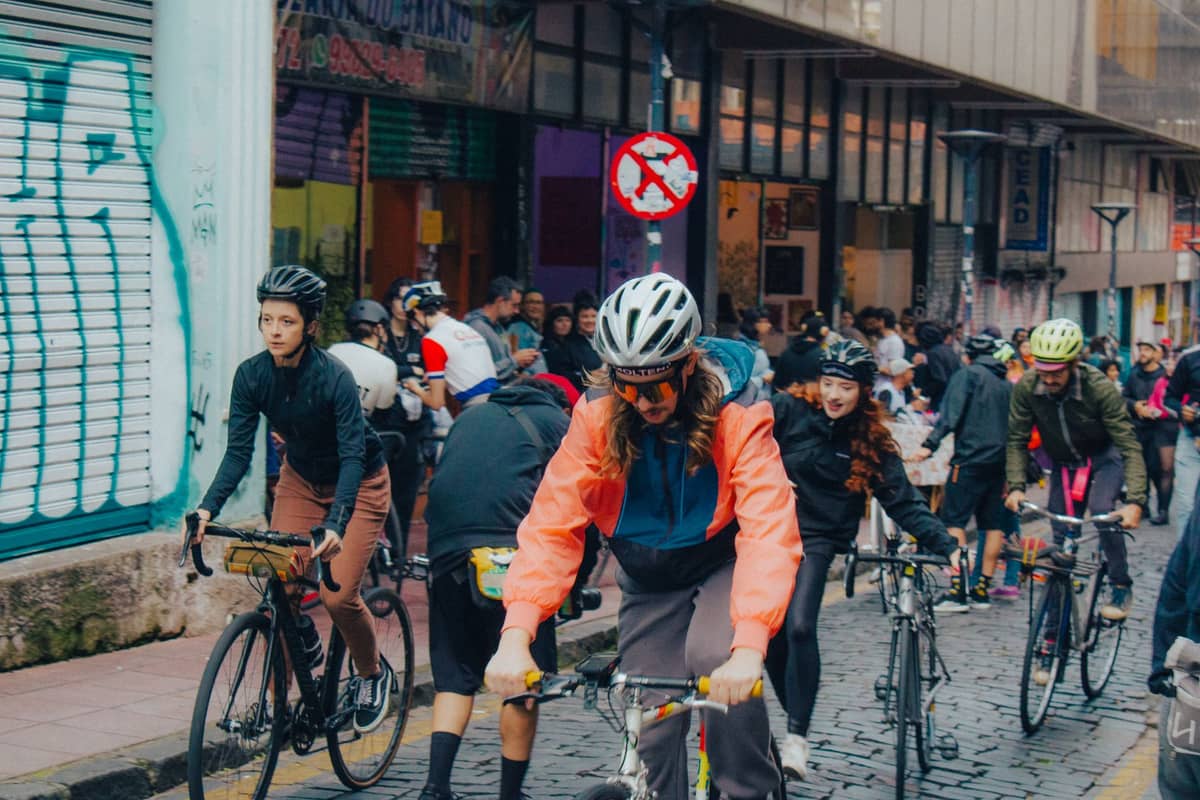
Bogotá's Ciclovía is one of the most ambitious urban recreation programs in the world. Every Sunday, and on every Colombian public holiday, the city's Instituto Distrital de Recreación y Deporte (IDRD) closes major arterial roads to motor traffic and hands them over to anyone who wants to move under their own power. The result is a temporary linear park stretching across the city, from the north in Usaquén to the south near the historic center.
The program was formally established by Decrees 566 and 567 of 1976, with official operations beginning on June 20, 1976. Early circuits included routes around the Salitre area, Ciudad Universitaria, and Parque Nacional. What started as a handful of kilometers has grown into a network of approximately 127.69 km of enabled streets, plus around 7.05 km of dedicated ciclorrutas (permanent bike lanes) incorporated into the route. For context, that is farther than the road distance from central London to Brighton.
Participation figures are staggering: the city consistently estimates between 1.5 and 2 million people using the Ciclovía network on a typical Sunday. That makes it one of the largest recurring recreational events on the planet. Unlike car-free days in European cities, which tend to be annual spectacles, this happens every single week, year-round. It is not a festival. It is not a charity ride. It is simply what Bogotanos do on Sunday mornings. If you are planning a trip and want to understand the city's rhythm, reading up on things to do in Bogotá will show you how Ciclovía fits into a broader visit.
ℹ️ Good to know
The Ciclovía is managed by the IDRD (Instituto Distrital de Recreación y Deporte) under Bogotá's city government. It is a free public service with no tickets, no sign-up, and no commercial entry points. Updated route maps and any schedule changes are published on the IDRD website and the Portal Bogotá.
The Routes: Where the Ciclovía Actually Goes
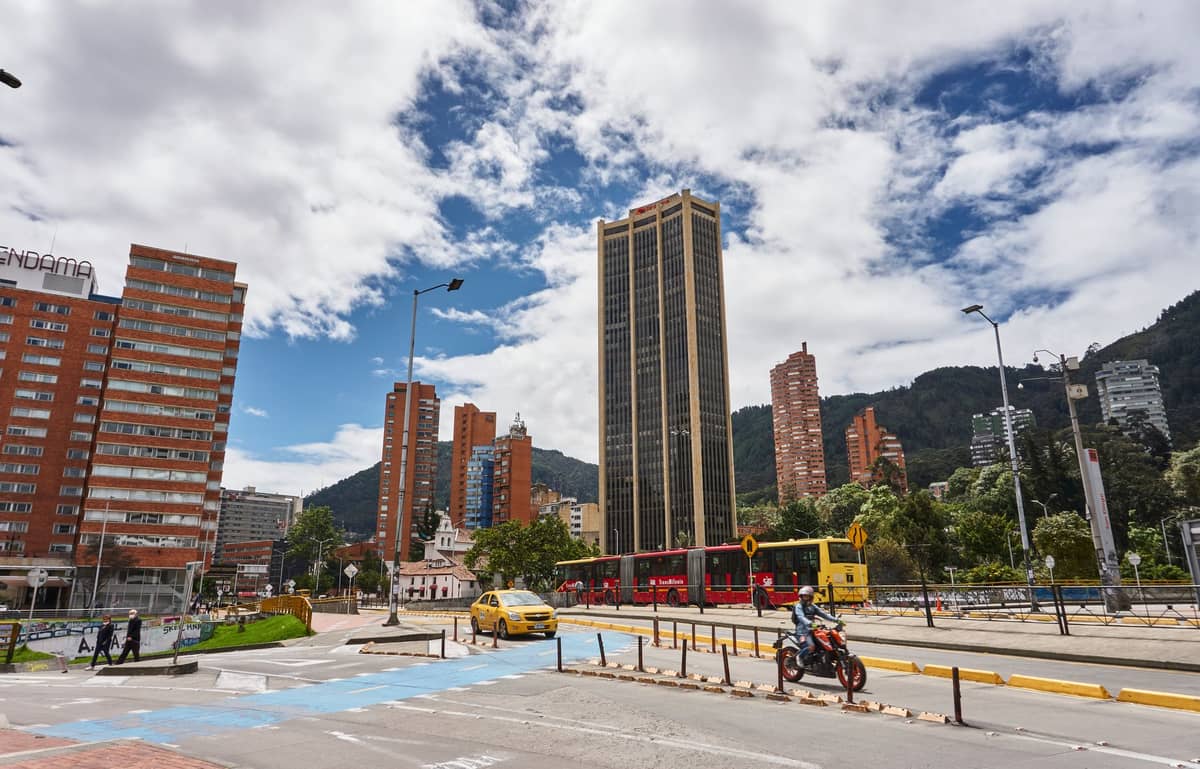
The 2025 IDRD route map lists approximately 138 km of total corridors when temporary connectors and extensions are included. The network is divided into three main axes: north, center, and south. The central spine runs along Carrera 7, one of Bogotá's most important arteries, passing through Chapinero and connecting the historic center in the south to the upscale neighborhoods in the north. This is the most popular segment and gets crowded by 9:00 a.m. on sunny Sundays.
The northern section reaches into Usaquén, where the Ciclovía atmosphere blends with the neighborhood's own Sunday market scene. The southern routes extend toward La Candelaria and connect with recreational corridors near Parque Metropolitano Simón Bolívar, the city's largest urban park. If you want space to breathe and a less congested stretch, the southern and western corridors are consistently less packed than Carrera 7.
- Carrera 7 (Central Spine) The backbone of the Ciclovía, running north-south through the heart of the city. Expect high foot and wheel traffic from 8:00 a.m. onward. Best for soaking up the event's energy and people-watching.
- Avenida El Dorado (Calle 26) The east-west corridor connecting the airport side of the city toward the center. Wider lanes, faster riders, and a more athletic crowd. Good option if you want to cover distance.
- Ciclovía Sur (Southern routes) Less tourist-heavy and more representative of how ordinary Bogotanos use the event. Families with young children, older cyclists, and recreational walkers dominate these corridors.
- Usaquén connector A northern extension that passes through one of Bogotá's most pleasant neighborhoods. Pair it with a stop at the Usaquén flea market, which runs on Sundays.
💡 Local tip
Download the official IDRD Ciclovía route map as a PDF before you go — the 2025 version is available on idrd.gov.co. The web map on Portal Bogotá is also useful for identifying entry points near your accommodation. GPS apps like Google Maps do not always reflect which streets are closed, so pre-downloading the route is worth the two minutes it takes.
Practical Logistics: Bikes, Timing, and What to Bring
The Ciclovía runs from 7:00 a.m. to 2:00 p.m. on Sundays and public holidays. Streets reopen to traffic from 2:00 p.m. onward, so plan to finish your ride with enough time to reach a safe off-route exit before the cars return. The sweet spot for most visitors is arriving between 8:00 and 9:00 a.m.: the routes are open, the air is cool, and the event has reached full pace without being overcrowded.
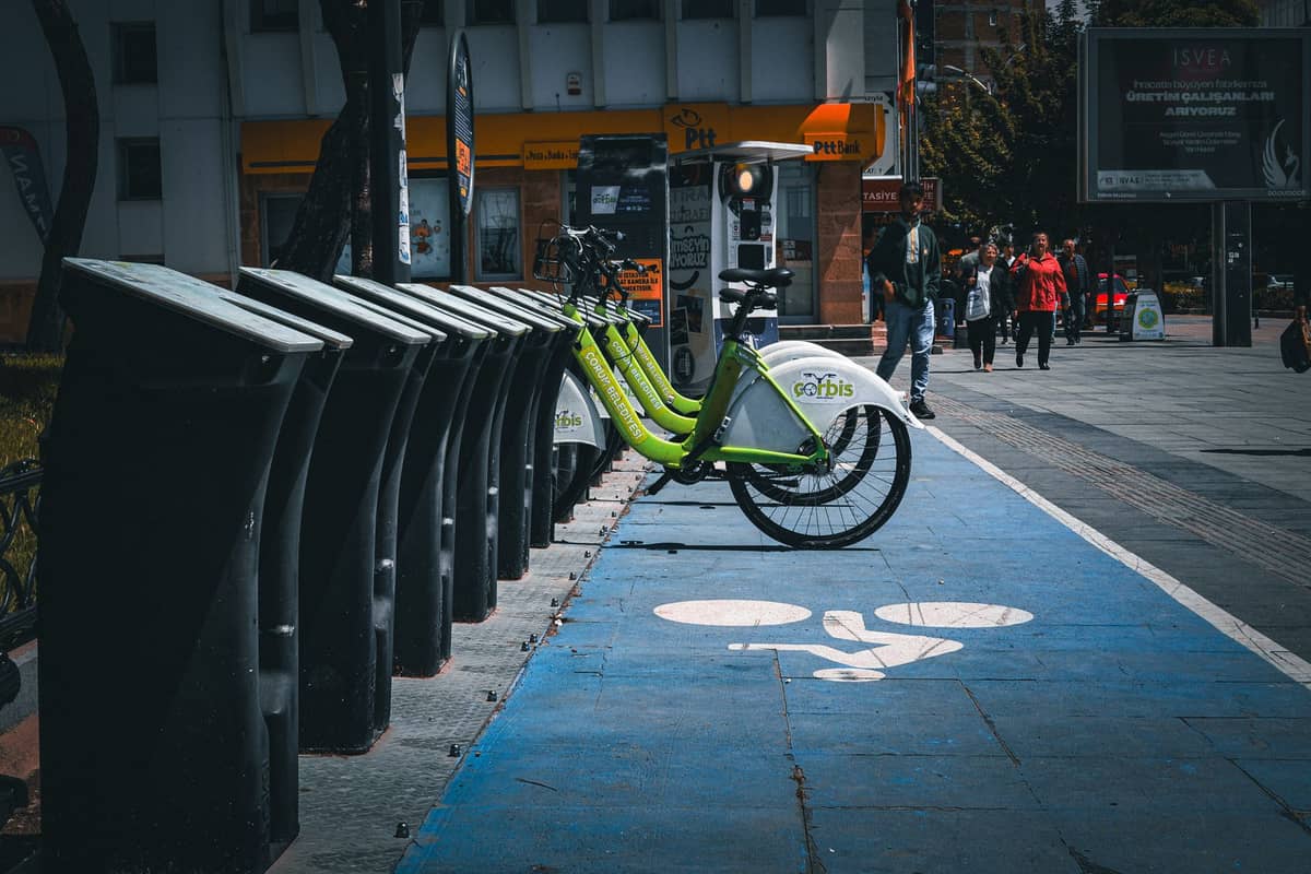
If you do not own or travel with a bike, rental options are available near popular Ciclovía entry points, particularly in the Chapinero and Zona Rosa areas. Rates vary and change seasonally, so confirm pricing on the day. Bogotá also has a public bike-share system (currently operating under the city's integrated mobility program), though availability at peak Sunday hours can be limited. Skates, kick scooters, and longboards are equally valid and common.
- Wear layers: temperatures at 2,640 m above sea level sit in the high teens to low 20s °C during the day, but can feel much colder at 7:00 a.m. in the dry season
- Apply sunscreen regardless of cloud cover — UV exposure is significantly higher at altitude than at sea level
- Bring water and a snack; the Ciclovía has official Recreational Stations (Estaciones de la Vía Activa y Saludable) with free exercise classes, health checks, and food vendors
- Carry small bills in Colombian pesos (COP) for food stalls and bike rentals — card acceptance is inconsistent at informal vendors
- Lock your bike if you stop, even briefly; use a combination lock and secure it to fixed infrastructure
- Leave valuables at accommodation; pickpocketing at crowded entry points is a known risk, especially in central segments
Bogotá's altitude catches many visitors off guard. At 2,640 m, aerobic activity feels harder than it would at sea level, and the effects are more pronounced in the first 24 to 48 hours after arrival. If you landed the previous day, consider a shorter, flatter route rather than pushing through the full network. The guide to Bogotá's altitude covers acclimatization in detail and is worth reading before your trip.
The Ciclovía Experience: What to Expect on the Ground
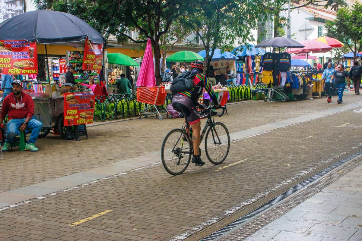
Walking into an active Ciclovía corridor for the first time is genuinely disorienting in the best way. Six-lane avenues that carry dense traffic on any other day are suddenly filled with teenagers on BMX bikes, couples on tandem cycles, grandparents walking, children on training wheels, and serious cyclists in full kit averaging 35 km/h. The social range is wide. This is one of the rare public spaces in Bogotá where class boundaries temporarily blur.
The official Recreational Stations, known as Estaciones de la Vía Activa y Saludable, are set up at intervals along the main corridors. These are free outdoor fitness zones where the city deploys instructors running aerobics classes, yoga sessions, and strength circuits directly on the closed avenue. Participation is optional and entirely free. If you arrive early enough to catch an 8:00 a.m. aerobics session with 300 people dancing to salsa on a closed highway, consider it a Bogotá highlight.
Food vendors and coffee carts appear along the major routes, particularly near parks and intersections. The stretch near Parque Nacional Enrique Olaya Herrera is a particularly good spot to stop, with vendors selling arepas, fruit, and tinto (black coffee). For a post-ride meal, the neighborhoods of La Macarena and Chapinero are both adjacent to key Ciclovía corridors and have a strong Sunday brunch scene.
⚠️ What to skip
The Ciclovía is not a race course. Faster cyclists and the general flow of mixed-use traffic coexist on the same lanes. Watch for children darting sideways, dogs on long leashes, and abrupt stops. Keep your speed moderate in congested sections, especially near parks and Recreational Stations. Crashes between cyclists and pedestrians do happen, particularly on Carrera 7 between 9:00 and 11:00 a.m.
Seasonal Variations and the Best Sundays to Go
The Ciclovía runs year-round and only suspends when the city explicitly announces a cancellation, which is rare. However, the experience changes significantly depending on when you go. Bogotá has two dry seasons (December to March and June to August) and two rainy seasons (April to May and September to November). Dry-season Sundays draw the largest crowds and the most festive atmosphere. Rainy-season Sundays are thinner, faster, and more serious — the committed riders who show up regardless of weather tend to move at a higher pace.
Public holidays extend the Ciclovía schedule and sometimes add special programming. Colombia has a significant number of public holidays, many of which fall on Mondays (moved by law to create long weekends), so check the calendar before your trip. December is a particularly good month for the Ciclovía: the dry season is setting in, the city is decorated for Christmas, and participation is high even on the final Sundays of the year. For more on timing a Bogotá trip, the guide to the best time to visit Bogotá gives a full seasonal breakdown.
One underrated option is arriving on a holiday Monday rather than a Sunday. Holiday Ciclovías often feel slightly more relaxed because the commuter-adjacent Sunday pressure (getting back home, preparing for Monday) does not apply. Participation can be just as high, but the mood is often more leisurely.
Combining the Ciclovía with the Rest of Your Bogotá Sunday
The Ciclovía ends at 2:00 p.m., which leaves plenty of afternoon time. Two natural combinations work well. The first is pairing the ride with a visit to the Usaquén flea market, which operates on Sundays and sits near the northern end of the Ciclovía network. You can ride north, leave your bike at a rental point, and spend an hour browsing antiques, crafts, and street food before heading back south.
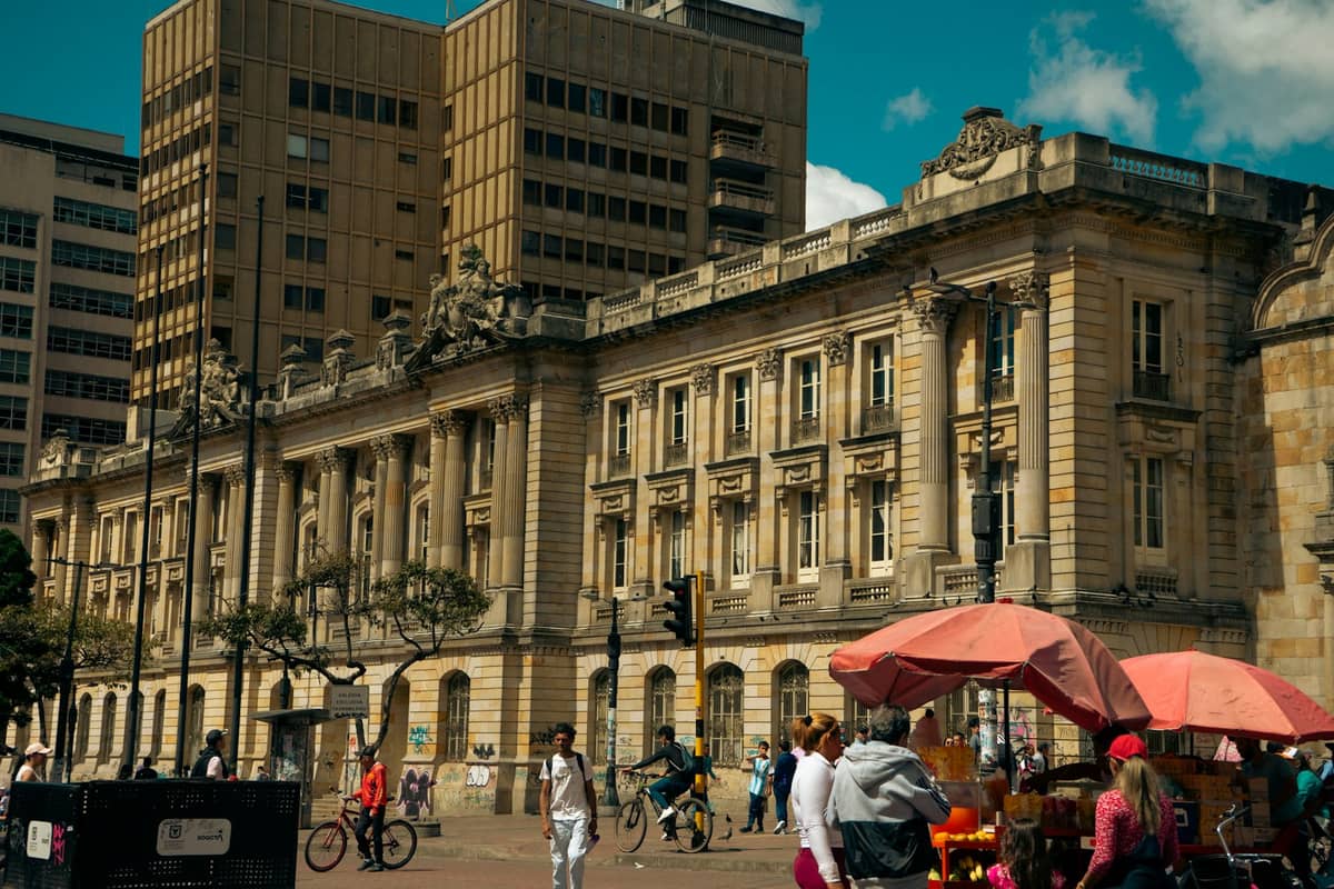
The second option is using the Ciclovía as a warm-up for a museum afternoon. The major institutions around La Candelaria — including the Museo del Oro and the Museo Botero — are accessible from the southern end of Carrera 7. Both open on Sunday afternoons. Arriving by bike, even a rental, is faster than dealing with the reduced Sunday TransMilenio frequency.
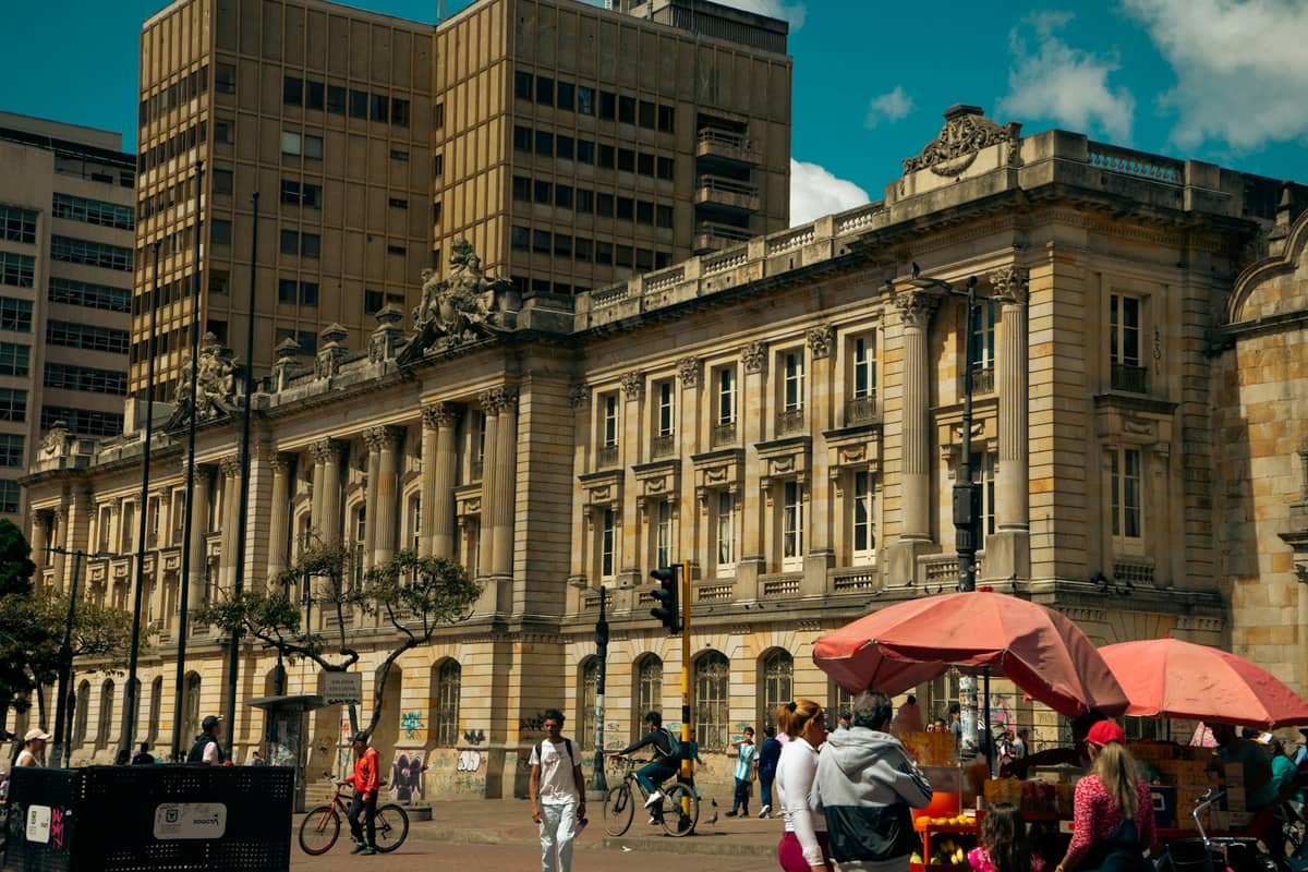
If you want to make a full day of it, the area around La Candelaria offers colonial architecture, street food, and the Plaza de Bolívar within walking distance of where the southern Ciclovía corridors wind down. Sunday afternoons in the historic center are quieter than weekdays, which makes the post-ride exploration genuinely pleasant.
✨ Pro tip
If you are staying in Zona Rosa or Chapinero, you can step directly onto the Ciclovía from your hotel without any transit. The Carrera 7 corridor passes through both neighborhoods. This is the single biggest logistical advantage of staying in central-north Bogotá for a Sunday visit — no need to figure out Sunday bus schedules or ride-hailing surge pricing to reach the route.
FAQ
Is the Ciclovía free to join?
Yes, completely free. There is no ticket, no registration, and no equipment requirement. You simply join the route at any entry point. The Recreational Stations along the way, which offer free fitness classes and health checks, are also free.
Do I need to bring my own bike?
No. Rental bikes are available near major Ciclovía entry points, particularly in Chapinero and around Zona Rosa. The city also operates a bike-share program, though availability at peak hours on Sunday mornings can be limited. Skates, kick scooters, and walking are equally valid.
What time does the Ciclovía start and end?
The Ciclovía operates from 7:00 a.m. to 2:00 p.m. every Sunday and on Colombian public holidays. Streets reopen to traffic after 2:00 p.m. The IDRD and Portal Bogotá announce any exceptional cancellations in advance.
Is the Ciclovía safe for tourists?
Generally yes, particularly on the main central-north corridors. Standard city precautions apply: do not carry valuables openly, be aware of your surroundings at crowded entry and exit points, and keep an eye on your bike if you stop. The event's sheer size and the presence of city staff and police along key sections provide a degree of passive security.
Does the Ciclovía run in the rain?
Yes. The Ciclovía operates in most weather conditions and is only suspended with an explicit city announcement. Rain in Bogotá tends to arrive in the afternoon, typically after 1:00 p.m., so early morning rides are often clear even during the rainy season. Bringing a lightweight waterproof layer is sensible from September through November and in April and May.