Best Hikes in Taipei: Trails for Every Level
Taipei is one of Asia's most walkable cities, and its hiking scene is just as impressive as its food and temples. From quick city-fringe scrambles with skyline payoffs to full-day volcanic summit routes, these are the best trails in and around Taipei, organized by type and difficulty.

Taipei sits in a basin ringed by green hills, meaning serious hiking starts where the MRT ends. The city's trails range from a 30-minute after-work scramble up Xinyi's Elephant Mountain to the 92 km Taipei Grand Trail, which stitches together the entire mountain ring of the city across seven sections. Whether you want a quick sweat with a skyline view or a full volcanic summit day, Taipei delivers. For context on the best seasons to hit these trails, see our guide on the best time to visit Taipei. The trails below are organized from most accessible to most demanding, with coastal and day-trip options included for those willing to venture beyond the city limits.
💡 Local tip
Most Taipei trails are free to enter and accessible by MRT or public bus. Download the offline map before heading out, as mobile signal can be patchy on higher ridges. Always check weather forecasts for Yangmingshan — fog and strong winds arrive quickly.
Quick City Hikes: Big Views, Low Commitment

These trails are designed for hikers who want a genuine nature fix without leaving the city grid. Most are reachable from an MRT station in under 15 minutes, and none require more than two to three hours round trip. They're perfect for a free afternoon or an early morning before the rest of your itinerary kicks in. For a broader look at Taipei's outdoor spaces, the Taipei parks guide covers everything from forest reserves to riverside greenways.

1. Climb Elephant Mountain for Taipei's Most Famous Skyline Shot
At 183 m above Xinyi, this 2.3 km urban trail is steep in places but achievable in under an hour. The reward is a direct sightline to Taipei 101 framed by forest. Go at dusk for the best light, and arrive early on weekends to avoid crowds at the summit rocks.
Explore1. Climb Elephant Mountain for Taipei's Most Famous Skyline Shot
At 183 m above Xinyi, this 2.3 km urban trail is steep in places but achievable in under an hour. The reward is a direct sightline to Taipei 101 framed by forest. Go at dusk for the best light, and arrive early on weekends to avoid crowds at the summit rocks.
Explore
2. Walk the Boardwalk Trails at Guandu Nature Park
At the confluence of the Tamsui and Keelung rivers, Guandu's flat boardwalk trails pass through protected wetlands rich with migratory birds. Entry costs under NT$60, the terrain is easy, and winter months bring the biggest bird concentrations. Allow 90 minutes for a full loop.
Explore2. Walk the Boardwalk Trails at Guandu Nature Park
At the confluence of the Tamsui and Keelung rivers, Guandu's flat boardwalk trails pass through protected wetlands rich with migratory birds. Entry costs under NT$60, the terrain is easy, and winter months bring the biggest bird concentrations. Allow 90 minutes for a full loop.
Explore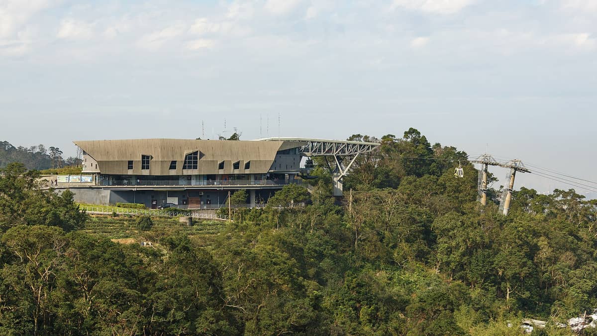
3. Ride the Maokong Gondola and Hike the Tea Hill Trails
Take the gondola (NT$180 flat fare, closed Mondays) up into the tea hills of Wenshan District, then explore the network of walking paths between teahouses and forest. Trails here are gentle and well-shaded, making Maokong a good option during Taipei's hotter months.
Explore3. Ride the Maokong Gondola and Hike the Tea Hill Trails
Take the gondola (NT$180 flat fare, closed Mondays) up into the tea hills of Wenshan District, then explore the network of walking paths between teahouses and forest. Trails here are gentle and well-shaded, making Maokong a good option during Taipei's hotter months.
ExploreYangmingshan: Volcanic Trails Above the City
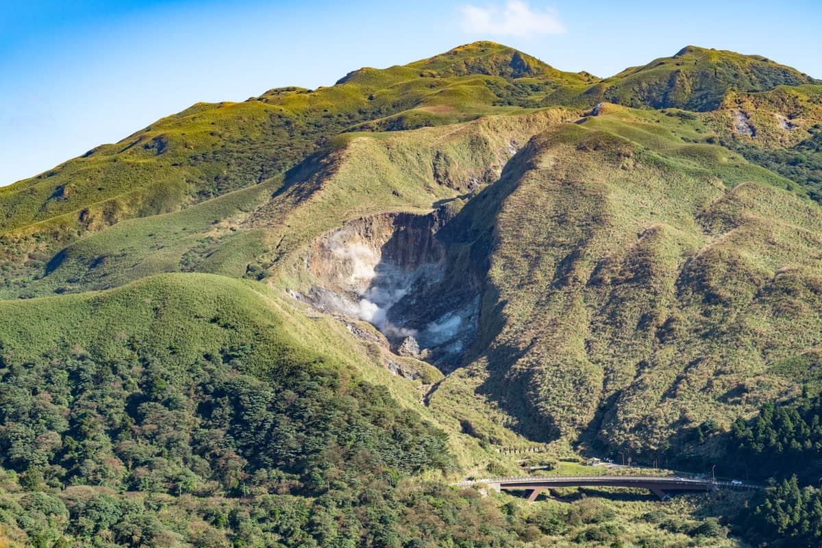
Yangmingshan National Park is Taipei's premier hiking destination, sitting just 30 minutes from the city center by bus yet feeling dramatically removed from urban life. The park's volcanic terrain produces sulfur fumaroles, hot spring streams, and wide-open ridge views. Trails range from easy valley loops to demanding summit routes. It's also one of the best places in Taiwan for spring wildflowers. See the full Taipei hot springs guide if you plan to combine a summit hike with a post-trail soak.
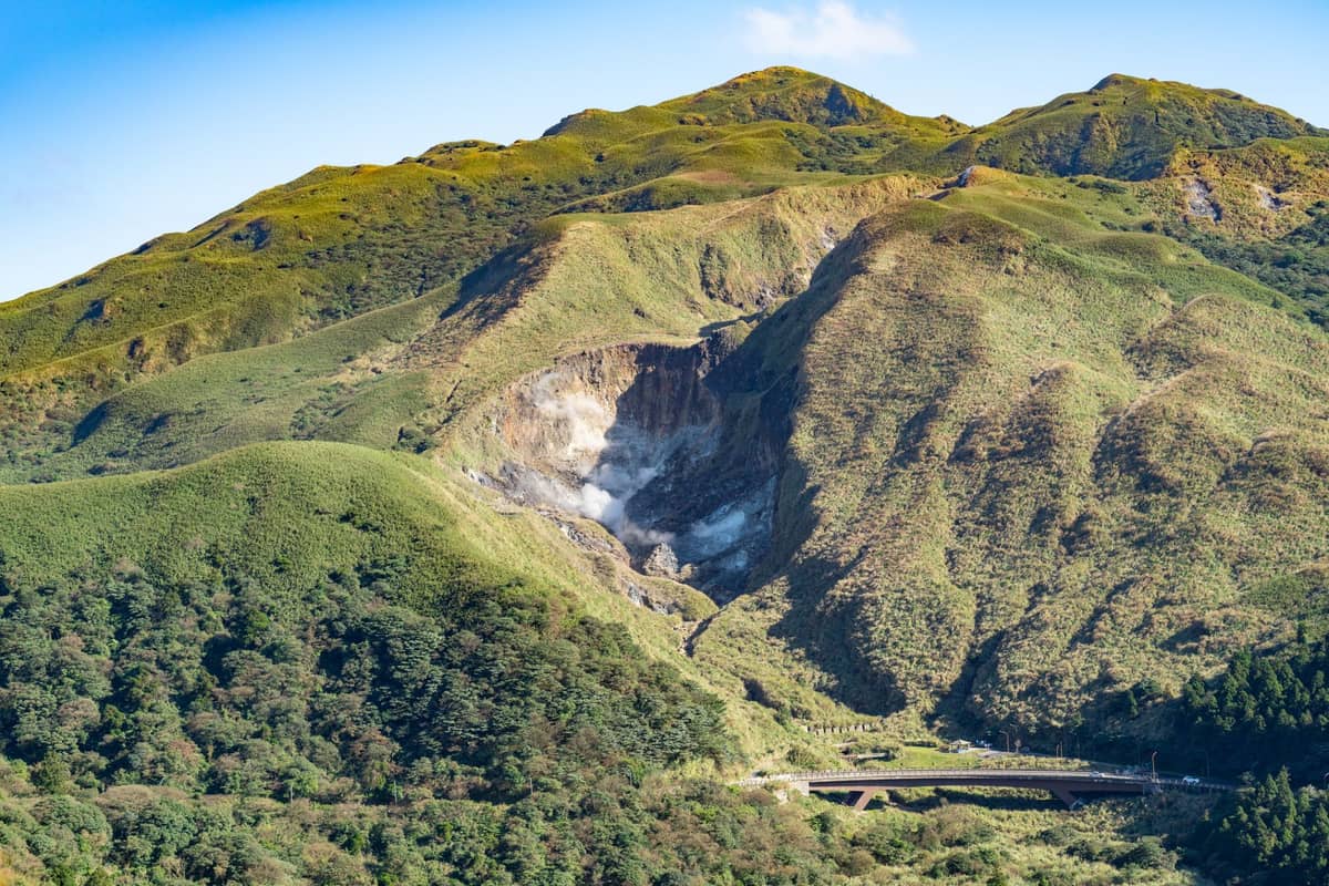
4. Explore Yangmingshan National Park's Network of Volcanic Trails
Free to enter and served by direct buses from Jiantan MRT, Yangmingshan offers everything from 30-minute flower meadow walks to full-day ridge traverses. The volcanic landscape includes fumaroles, crater ponds, and sweeping views north toward the coast. Spring cherry blossom season draws large crowds.
Explore4. Explore Yangmingshan National Park's Network of Volcanic Trails
Free to enter and served by direct buses from Jiantan MRT, Yangmingshan offers everything from 30-minute flower meadow walks to full-day ridge traverses. The volcanic landscape includes fumaroles, crater ponds, and sweeping views north toward the coast. Spring cherry blossom season draws large crowds.
Explore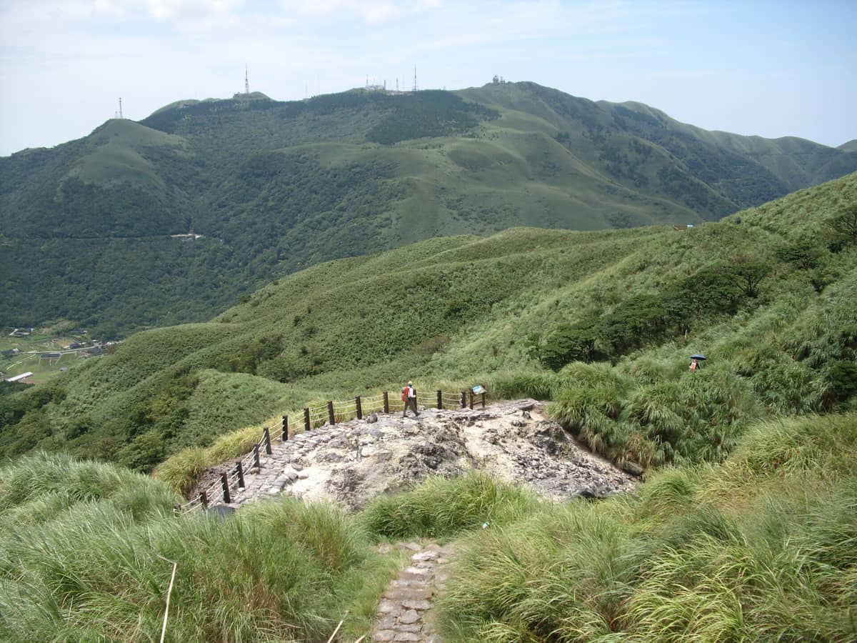
5. Summit Qixing Mountain, Taipei's Highest Peak
At 1,120 m, Qixing is the highest point in Taipei City. The 4.5 km stone-paved trail takes 2.5 to 3.5 hours round trip and passes volcanic fumaroles and alpine meadows. Take Bus S15 from Jiantan MRT and start early to beat afternoon clouds that often obscure the summit views.
Explore5. Summit Qixing Mountain, Taipei's Highest Peak
At 1,120 m, Qixing is the highest point in Taipei City. The 4.5 km stone-paved trail takes 2.5 to 3.5 hours round trip and passes volcanic fumaroles and alpine meadows. Take Bus S15 from Jiantan MRT and start early to beat afternoon clouds that often obscure the summit views.
ExploreCoastal Trails: Sea Views Near Taipei
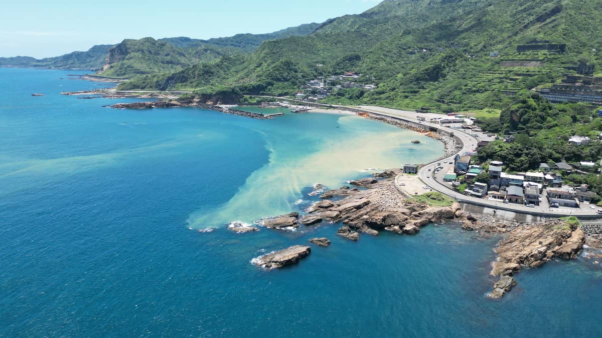
The northeast coast of New Taipei City packs some of Taiwan's most dramatic trail scenery into short, accessible routes. These hikes sit within easy reach of central Taipei via the Taiwan Railways network and pair well with the historic mining towns of Ruifang District. For a full day out, consider combining a coastal trail with a visit to Jiufen or the Gold Museum area. Our north coast day trip guide maps out the logistics.
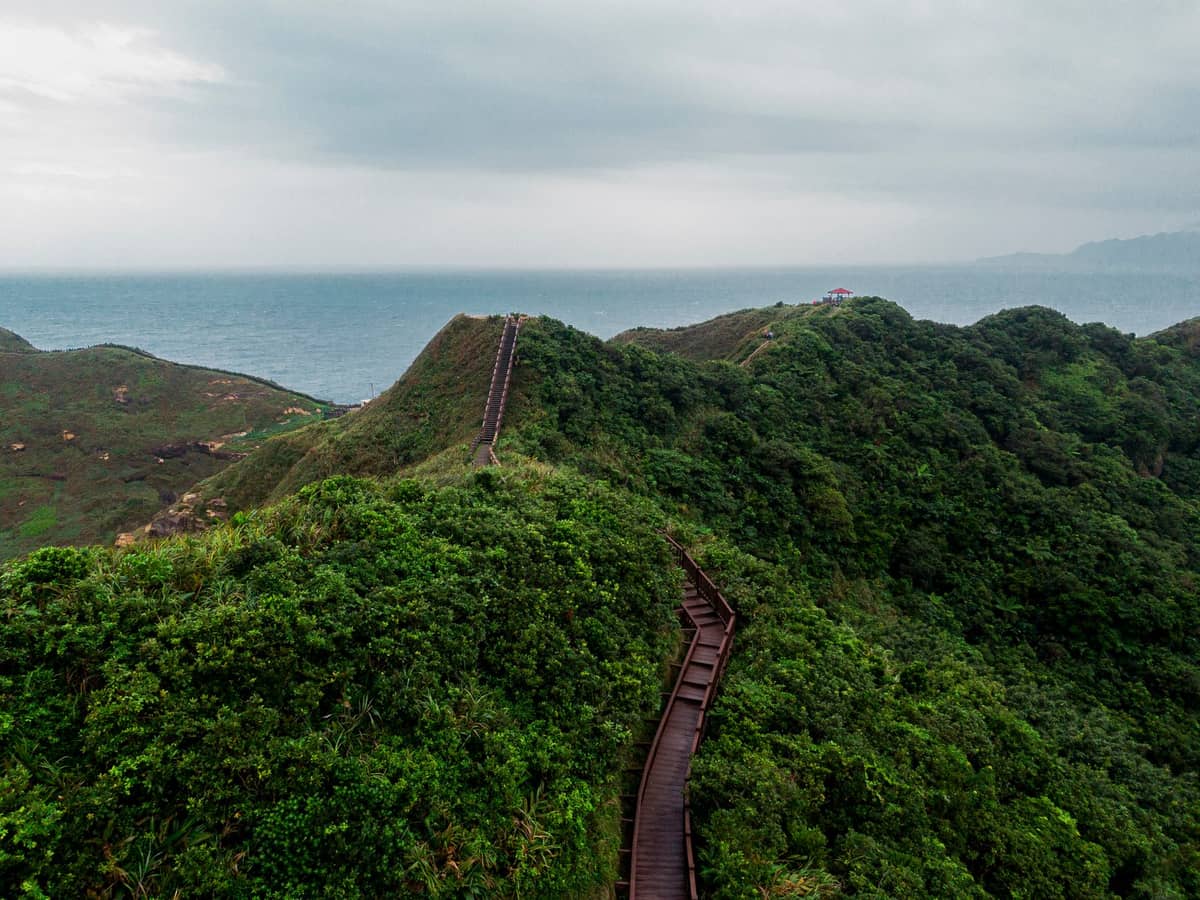
6. Walk the Bitou Cape Trail Above the Pacific Ocean
This roughly 3.5 km coastal ridge trail in Ruifang District traces dramatic cliffs above the Pacific, offering some of the best sea views near Taipei. Sections have been under reconstruction since 2020, so check current trail status before visiting. The trailhead is a short walk from Ruifang Station.
Explore6. Walk the Bitou Cape Trail Above the Pacific Ocean
This roughly 3.5 km coastal ridge trail in Ruifang District traces dramatic cliffs above the Pacific, offering some of the best sea views near Taipei. Sections have been under reconstruction since 2020, so check current trail status before visiting. The trailhead is a short walk from Ruifang Station.
Explore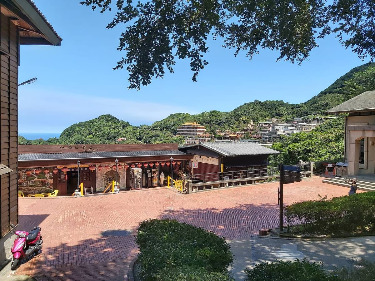
7. Hike the Ridge Trails Around Jinguashi Gold Museum
The Jinguashi area sits high in the Ruifang mountains with Pacific coastline views stretching in both directions. Beyond the Gold Museum's colonial mining complex and tunnel walks, short ridge trails connect the site to surrounding hilltops. Combine with Jiufen for a full-day coastal mountain excursion.
Explore7. Hike the Ridge Trails Around Jinguashi Gold Museum
The Jinguashi area sits high in the Ruifang mountains with Pacific coastline views stretching in both directions. Beyond the Gold Museum's colonial mining complex and tunnel walks, short ridge trails connect the site to surrounding hilltops. Combine with Jiufen for a full-day coastal mountain excursion.
Explore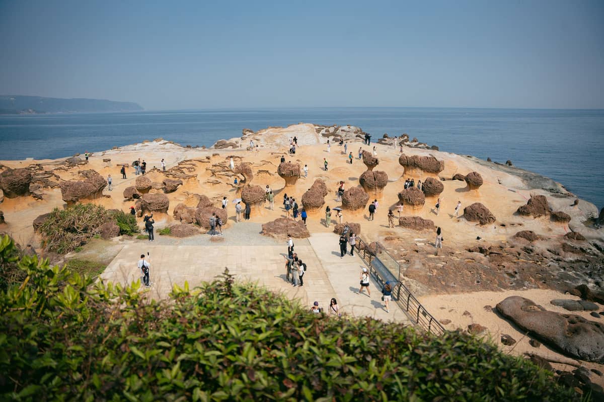
8. Walk the Cape Trail at Yehliu Geopark
Yehliu's narrow cape walk is less a hike and more an extraordinary geological stroll, with wave-carved mushroom rocks and honeycomb formations lining a compact 1.7 km path. It requires no hiking boots and takes about 90 minutes. The payoff is a genuinely strange and spectacular coastal landscape.
Explore8. Walk the Cape Trail at Yehliu Geopark
Yehliu's narrow cape walk is less a hike and more an extraordinary geological stroll, with wave-carved mushroom rocks and honeycomb formations lining a compact 1.7 km path. It requires no hiking boots and takes about 90 minutes. The payoff is a genuinely strange and spectacular coastal landscape.
ExploreDay Trip Hikes: Beyond Taipei City Limits
Some of the most rewarding hikes accessible from Taipei sit just outside the city boundary in New Taipei City. These require a train or bus journey but remain well within day-trip range. They're ideal for hikers who want a more immersive nature experience, often combined with a riverside old street or waterfall. The day trips from Taipei guide covers transport logistics for all of these destinations.
9. Hike to Shifen Waterfall, Taiwan's Largest Curtain Waterfall
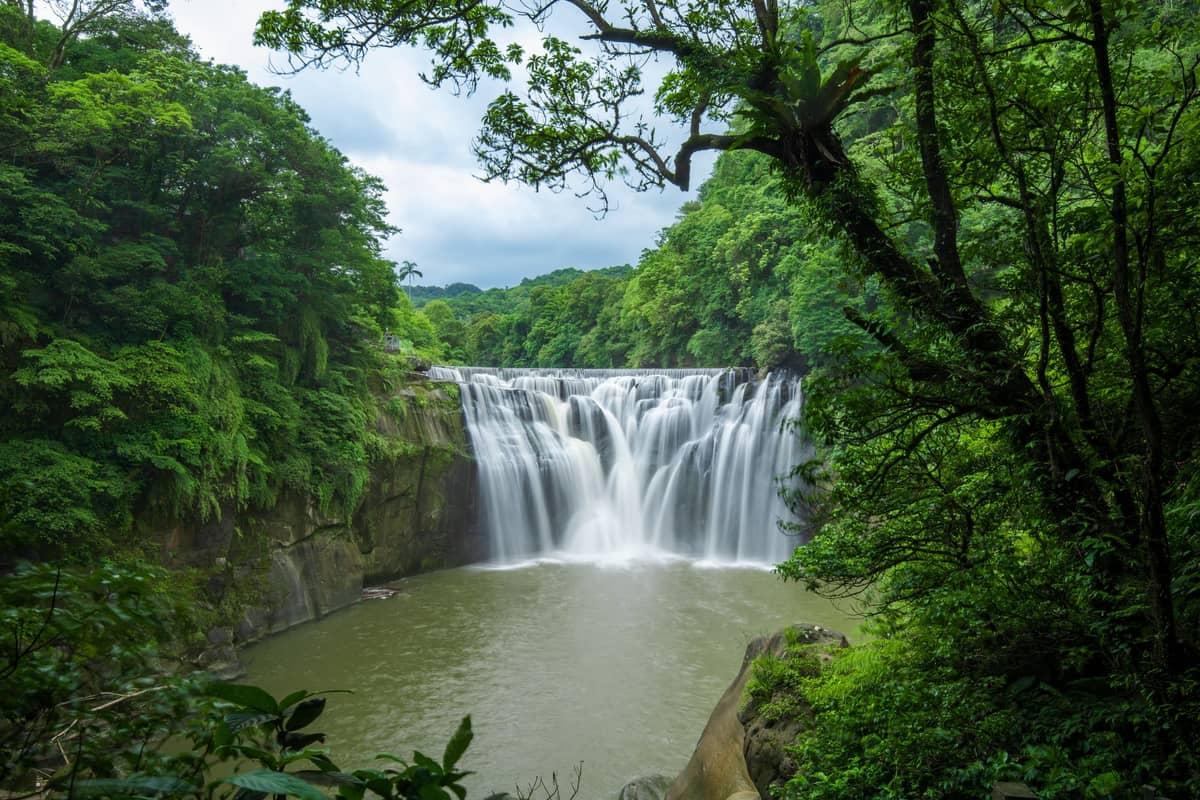
The trail to Shifen Waterfall is a short but rewarding 15-minute walk from the old street, passing lush riverside scenery before the full curtain of water comes into view. The waterfall is 40 m wide and 20 m high. Pair it with sky lantern launching on the railway tracks for a full afternoon.
Explore9. Hike to Shifen Waterfall, Taiwan's Largest Curtain Waterfall
The trail to Shifen Waterfall is a short but rewarding 15-minute walk from the old street, passing lush riverside scenery before the full curtain of water comes into view. The waterfall is 40 m wide and 20 m high. Pair it with sky lantern launching on the railway tracks for a full afternoon.
Explore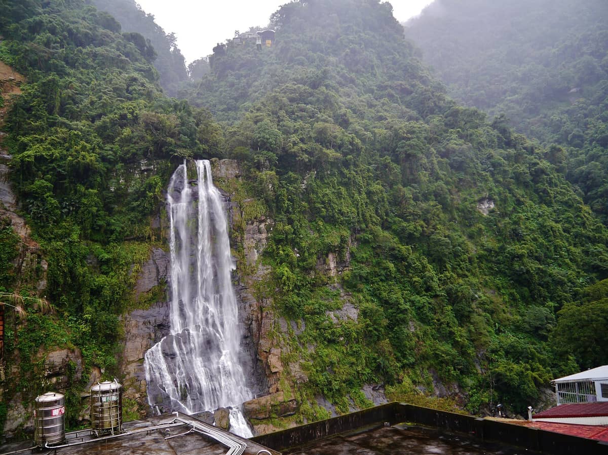
10. Hike Above Wulai Village to the Atayal Waterfall Lookout
Wulai's main walk leads from the Atayal old street up to an 80 m waterfall, with an optional cable car rising further into forested hills. The round-trip trail takes about 2 hours and is manageable for most fitness levels. Finish with a soak in Wulai's naturally alkaline hot springs to complete the day.
Explore10. Hike Above Wulai Village to the Atayal Waterfall Lookout
Wulai's main walk leads from the Atayal old street up to an 80 m waterfall, with an optional cable car rising further into forested hills. The round-trip trail takes about 2 hours and is manageable for most fitness levels. Finish with a soak in Wulai's naturally alkaline hot springs to complete the day.
Explore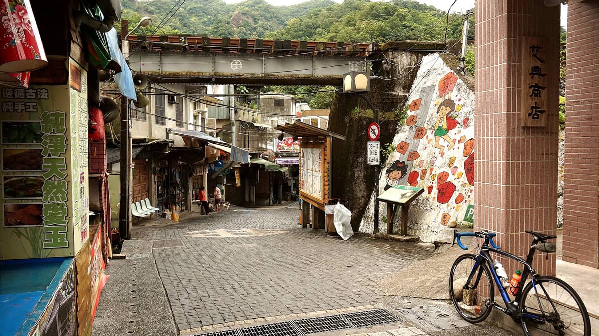
11. Walk the Valley Trails Around Pingxi Old Street
Pingxi sits in a steep mountain valley served by the scenic Pingxi Branch Railway. Beyond the sky lantern tradition on the old street, short trails lead into the surrounding forested hills with river views. The valley scenery is most dramatic in winter mist and after rain, when waterfalls swell nearby.
Explore11. Walk the Valley Trails Around Pingxi Old Street
Pingxi sits in a steep mountain valley served by the scenic Pingxi Branch Railway. Beyond the sky lantern tradition on the old street, short trails lead into the surrounding forested hills with river views. The valley scenery is most dramatic in winter mist and after rain, when waterfalls swell nearby.
Explore
12. Walk the Tamsui Waterfront Trail to Fisherman's Wharf
The riverside promenade from Tamsui MRT Station to Fisherman's Wharf covers about 2.5 km one way, passing colonial-era forts, estuary wetlands, and seafood vendors. It's flat, fully paved, and best walked at dusk when the estuary sunset turns gold behind Lover's Bridge. Allow 90 minutes each way.
Explore12. Walk the Tamsui Waterfront Trail to Fisherman's Wharf
The riverside promenade from Tamsui MRT Station to Fisherman's Wharf covers about 2.5 km one way, passing colonial-era forts, estuary wetlands, and seafood vendors. It's flat, fully paved, and best walked at dusk when the estuary sunset turns gold behind Lover's Bridge. Allow 90 minutes each way.
ExploreNature Walks with Scenic Rewards
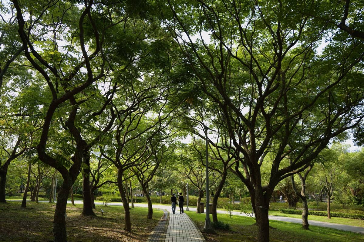
Not every great outdoor experience in Taipei involves steep elevation gain. Several of the city's most rewarding nature walks are flat, fully accessible, and built around extraordinary scenery rather than summit views. These are ideal for travelers mixing hiking with sightseeing, or anyone looking to slow down and spend time outdoors without committing to a strenuous route. For more ideas on spending time outdoors at no cost, see our guide to free things to do in Taipei.

13. Walk the Hillside Paths Around Guandu Temple
Guandu Temple is built into a hillside at Taipei's northern edge, with stone steps and covered walkways rising through cliff-cut cave shrines. The walk through the temple's upper terraces takes about 45 minutes and ends with views over the wetlands below. Entry is free and the atmosphere is genuinely devotional.
Explore13. Walk the Hillside Paths Around Guandu Temple
Guandu Temple is built into a hillside at Taipei's northern edge, with stone steps and covered walkways rising through cliff-cut cave shrines. The walk through the temple's upper terraces takes about 45 minutes and ends with views over the wetlands below. Entry is free and the atmosphere is genuinely devotional.
Explore
14. Climb the Lantern-Lit Steps Through Jiufen's Hillside Streets
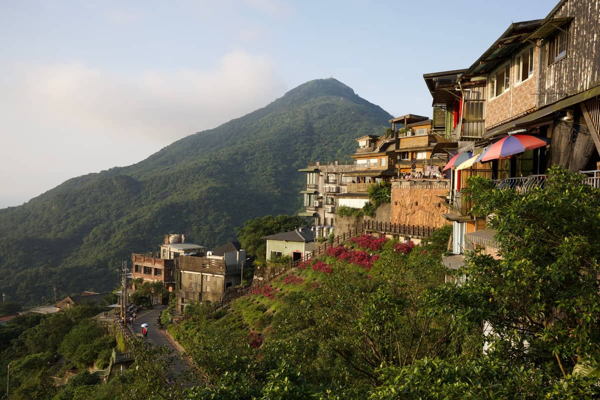
Jiufen's steep staircase alleys function as a walking trail through a historic mining town, with Pacific Ocean views appearing between shophouses. The climb from the main road to the upper teahouse district gains about 100 m. Go at dusk when red lanterns glow against mountain fog for the most dramatic experience.
Explore14. Climb the Lantern-Lit Steps Through Jiufen's Hillside Streets
Jiufen's steep staircase alleys function as a walking trail through a historic mining town, with Pacific Ocean views appearing between shophouses. The climb from the main road to the upper teahouse district gains about 100 m. Go at dusk when red lanterns glow against mountain fog for the most dramatic experience.
Explore
15. Explore the Walking Paths of Houtong's Mining Valley
Houtong sits in a river gorge where a bridge and short trail network connect the cat village to the adjacent Coal Mine Ecological Park. The flat valley walk takes about an hour and passes preserved mining infrastructure alongside the resident cat population. Take the scenic Taiwan Railways train from Taipei for the best approach.
Explore15. Explore the Walking Paths of Houtong's Mining Valley
Houtong sits in a river gorge where a bridge and short trail network connect the cat village to the adjacent Coal Mine Ecological Park. The flat valley walk takes about an hour and passes preserved mining infrastructure alongside the resident cat population. Take the scenic Taiwan Railways train from Taipei for the best approach.
Explore✨ Pro tip
For the Taipei Grand Trail, the city's official trail website (taipeigrandtrailen.gov.taipei) publishes downloadable maps for all seven sections. Section 1 begins at Guandu MRT and Section 7 ends near Maokong, covering 92 km total. You can walk individual sections as standalone day hikes without completing the full route.
FAQ
What is the easiest hike in Taipei for beginners?
Elephant Mountain (Xiangshan) is the most accessible option. The trail is about 2.3 km total, starts 10 minutes from Xiangshan MRT Station, and delivers a direct Taipei 101 skyline view in under an hour. The stone steps are steep in sections but well-maintained. It's open 24 hours and free to enter.
How do I get to Yangmingshan National Park for hiking?
Take the MRT Red Line to Jiantan Station, then board Bus 260, Red 5 (R5), or Bus S15 to Yangmingshan Bus Terminal. Buses run regularly from around 6am, and the journey from Jiantan to Yangmingshan takes about 25–35 minutes, or roughly 40 minutes door-to-door from central Taipei. No car is needed for the main trails including Qixing Mountain.
What is the best time of year for hiking in Taipei?
October to April offers the most comfortable hiking conditions, with lower temperatures and reduced rainfall. Spring (March to April) is particularly good for Yangmingshan, when cherry blossoms and calla lilies are in bloom. Summer is hot and humid, and typhoon season (June to September) can close trails without notice.
Are hiking trails in Taipei free to use?
Most trails in Taipei are free, including Elephant Mountain, Qixing Mountain, and all Yangmingshan National Park trails. Guandu Nature Park charges a small entrance fee (about NT$60). The Maokong Gondola to reach tea-hill trails costs NT$180 per ride as of 2025, with day passes and discounts available. Yehliu Geopark charges a separate entry fee.
Can I hike in Taipei without a guide?
Yes. Major trails like Elephant Mountain and Qixing Mountain are well-signed in both Mandarin and English, and widely covered by hiking apps like AllTrails and Maps.me. Download offline maps before you go, as signal can be weak on higher ridges. For the Taipei Grand Trail, the official city website provides free downloadable route maps for all seven sections.