Getting Around Toronto: Subway, Airport Transfers & Every Transport Option Explained
Toronto's transit network spans the TTC subway, streetcars, GO Transit regional rail, the UP Express airport link, ferries, and bike share. This guide breaks down every option with fares, routes, timings, and practical advice on what actually works for visitors.
Plan and book this trip
Tools from our partner Travelpayouts help you compare flights and hotels. If you book through them, we may earn a commission at no extra cost to you.
Flights
Hotels map
TL;DR
- The TTC (subway, streetcar, bus) covers the City of Toronto; for trips to the suburbs or beyond, you need GO Transit.
- The UP Express is the fastest way from Pearson Airport (YYZ) to downtown, taking about 25 minutes to Union Station and running every 15 minutes.
- Billy Bishop Airport (YTZ) is walkable to downtown via tunnel or free shuttle — a genuine advantage over Pearson.
- Presto card is the smartest payment method: one card works across TTC, GO Transit, UP Express, and more.
- For context on planning your time in the city, see the Toronto travel overview alongside this transport guide.
Understanding Toronto's Transport Network
Toronto is a large city covering about 630 km² with a population of around 2.8 million in the city proper and about 6.7 million in the greater metro area. Getting around efficiently means understanding which agency runs what. The Toronto Transit Commission (TTC) handles local transit: subway, streetcars, and buses within the City of Toronto. GO Transit, operated by Metrolinx, handles regional commuter rail and buses across the Greater Toronto and Hamilton Area. The UP Express is a dedicated airport rail link. These are separate systems with separate fares, though a Presto card bridges all of them.
The single most common mistake visitors make is assuming the TTC subway covers the whole region. It does not. The four subway lines are concentrated in the city core, connecting downtown to midtown, the east end, and key nodes like Scarborough Town Centre and Vaughan Metropolitan Centre on Line 1. For anything beyond city boundaries — Mississauga, Brampton, Hamilton, Niagara — you need GO Transit or a car.
💡 Local tip
Get a Presto card from any subway station or GO Transit terminal. It works on TTC, GO, UP Express, and most regional transit in southern Ontario. Tap on and tap off as required — the card automatically calculates fares and applies any eligible discounts. Single-ride tokens no longer exist on TTC.
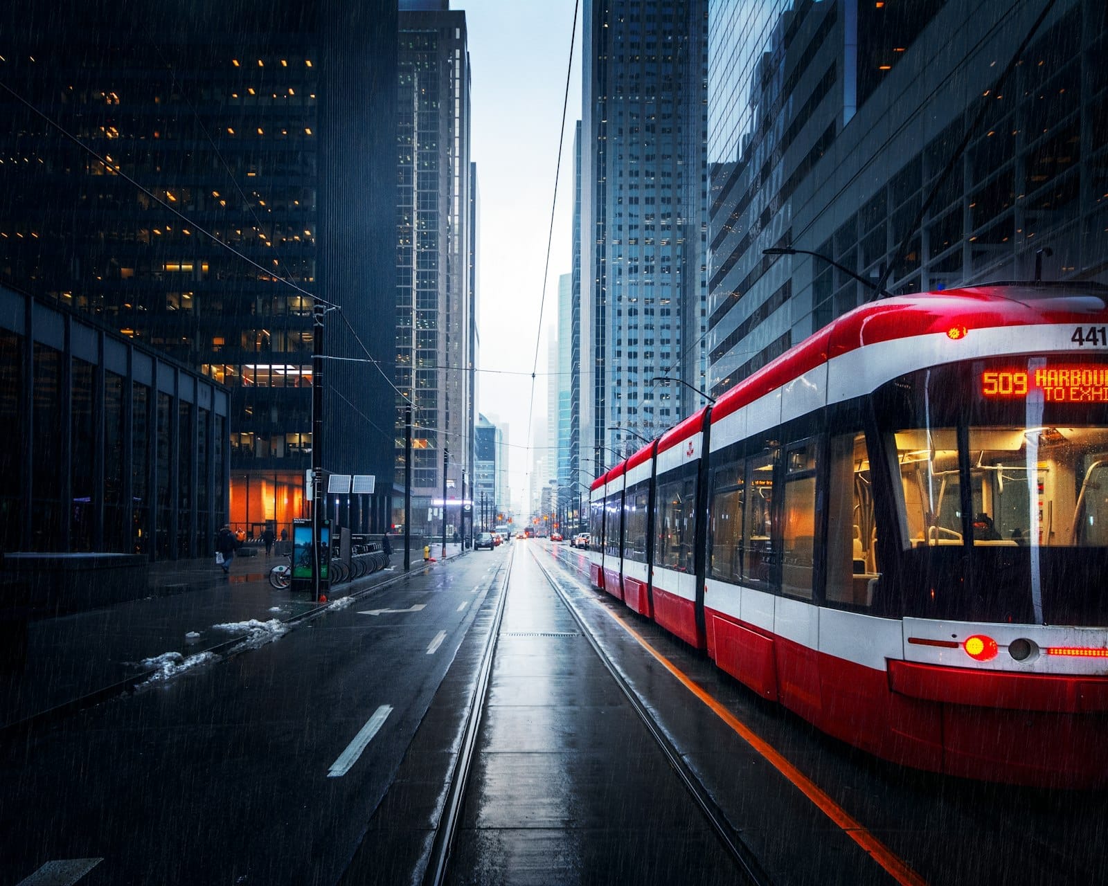
The TTC: Subway, Streetcars & Buses
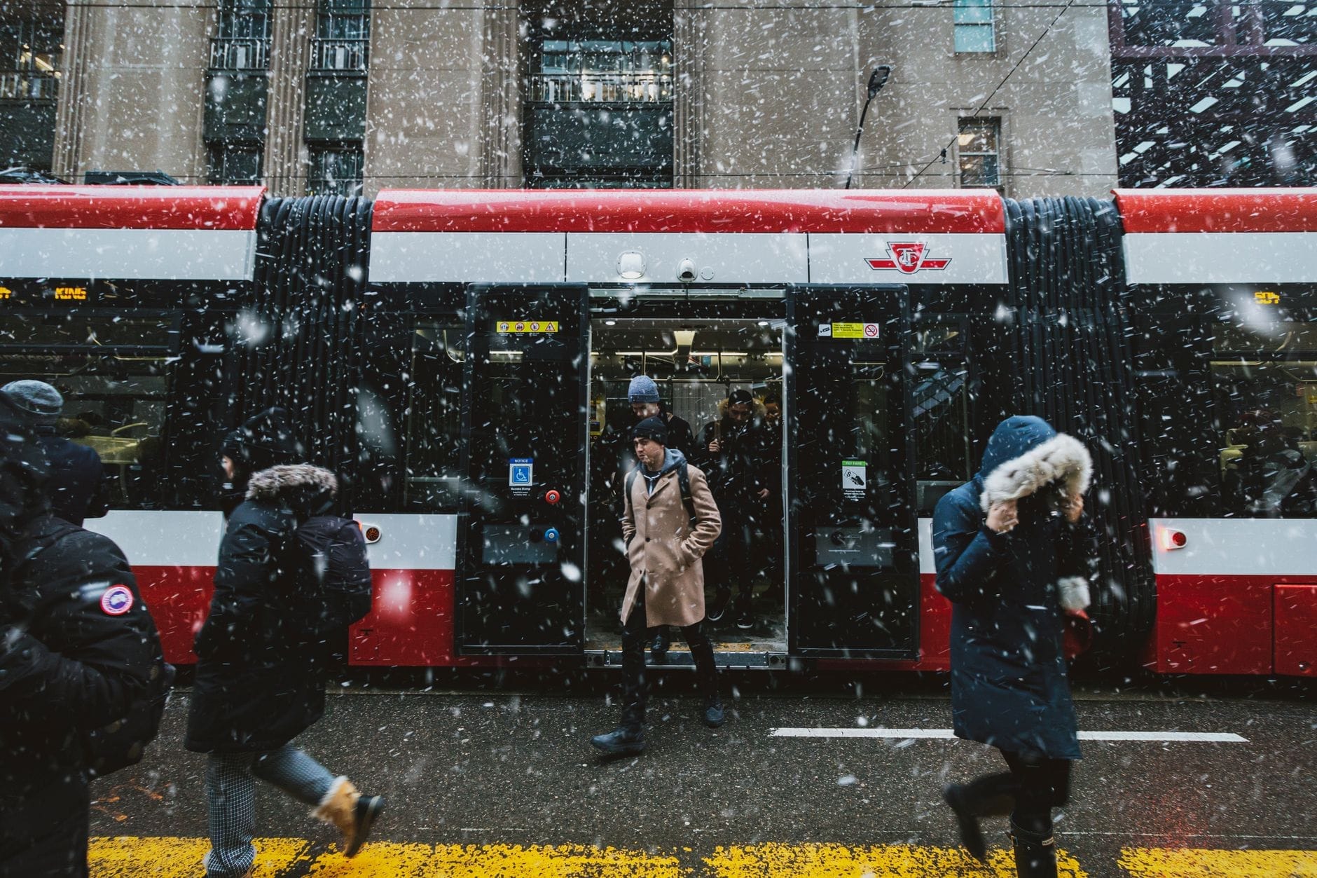
The TTC operates four rapid transit lines with 70 stations, around 170 bus routes, and 10 streetcar lines. Line 1 (the yellow U-shaped line on the map) is the backbone visitors use most, running from Vaughan Metropolitan Centre in the north through downtown to Finch in the northeast, with a branch to Sheppard West. Line 2 runs east-west along Bloor and Danforth streets, connecting the Annex and Yorkville to Scarborough. Free Wi‑Fi service is being phased out and is no longer available in all subway stations, while cellular service from major carriers now works in most tunnels on Lines 1 and 2.
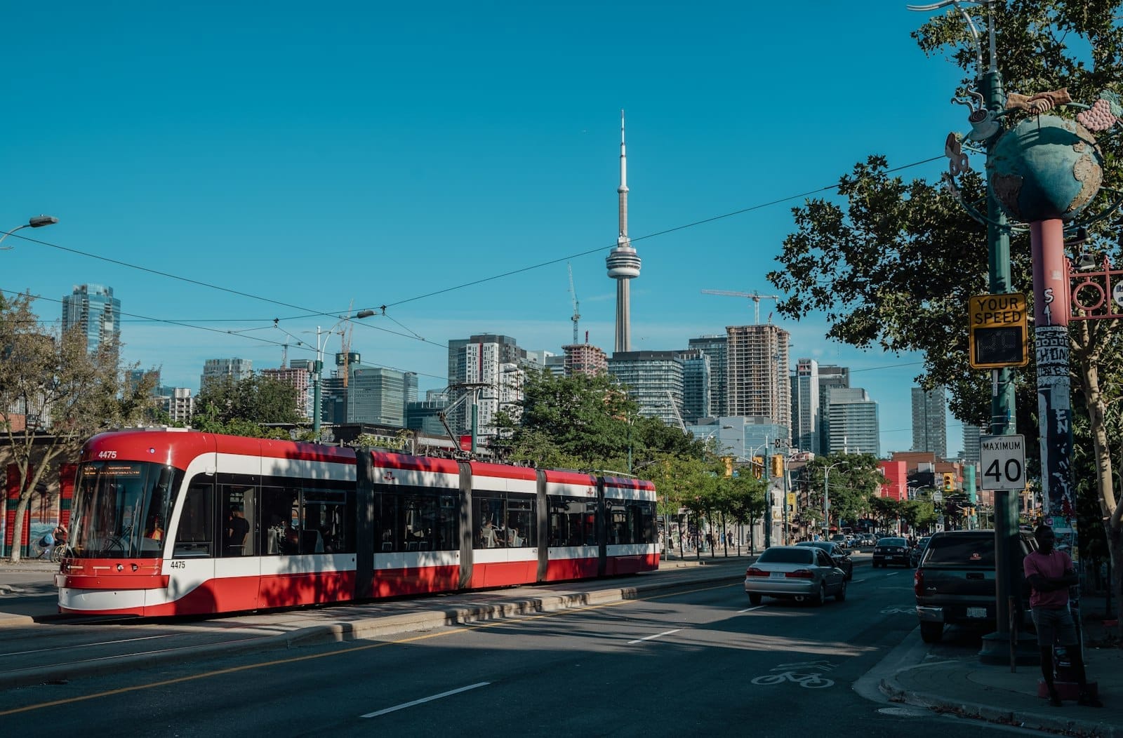
Streetcars are the other transit mode visitors encounter regularly. They operate on key downtown corridors — Queen Street, King Street, Spadina Avenue, and the 509/510 routes along the waterfront. The King Street Transit Priority Corridor restricts private vehicle through-traffic, which means the 504 King streetcar is actually quite reliable for trips between the Entertainment District and Distillery District. Off-peak, wait times are reasonable; during rush hour (roughly 7:30-9:30am and 4:30-6:30pm on weekdays), surface routes can bunch.
- Presto card Best option for most visitors. Reloadable, works across all TTC services, GO Transit, and UP Express. Available at subway stations and online.
- TTC Day Pass Covers unlimited TTC travel for one person for one day. Useful if you plan to make more than 3-4 trips.
- Single-ride (Presto tap) Each tap deducts one adult fare. Within 2 hours of your first tap, transfers to buses, streetcars, and subway are included at no extra cost.
- Monthly pass Best for longer stays of several weeks or more. Loaded onto Presto card.
⚠️ What to skip
TTC fares are not cheap by international standards, and they increase periodically. Check the TTC website (ttc.ca) for current adult fares before budgeting. The 2-hour transfer window is valuable — plan your route to use it.
Airport Transfers: Pearson (YYZ) and Billy Bishop (YTZ)
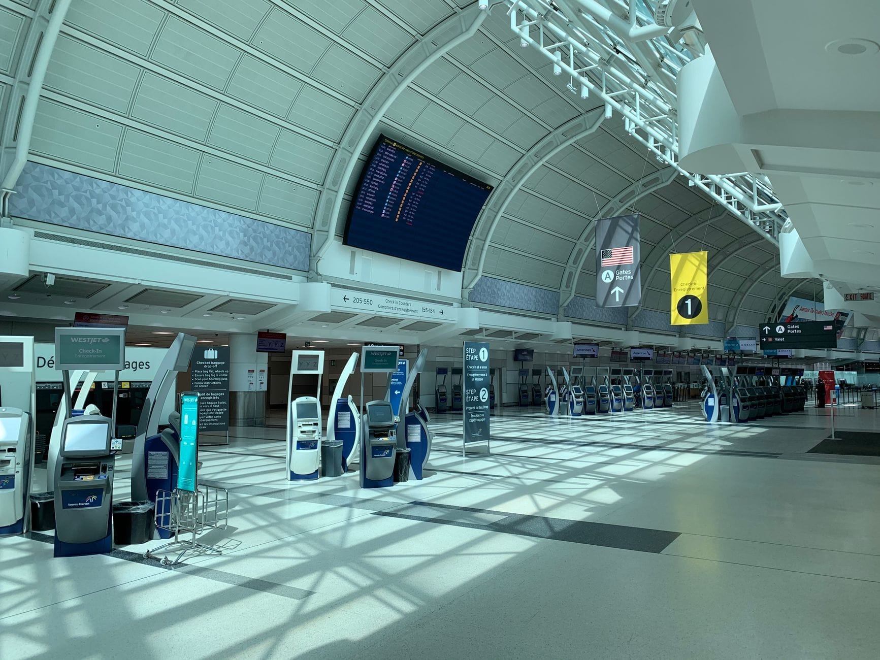
Toronto has two airports, and they serve very different purposes. Pearson International (YYZ) handles the vast majority of international and domestic flights. It sits in Mississauga, roughly 22-27 km from downtown depending on your destination, and is served by three main transfer options. Billy Bishop Toronto City Airport (YTZ) is a small facility on the Toronto Islands, about 2-3 km from the financial core, used mainly by Porter Airlines for eastern Canadian and some U.S. routes. If you're flying into YTZ, your transfer situation is genuinely simple. YYZ is the one that requires planning.
From Pearson, the UP Express is the clear first choice for most travellers heading downtown. Trains run every 15 minutes and reach Union Station in about 25 minutes, with a stop at Bloor-Dundas (Kipling interchange) along the way. Adult one-way fares are in the range of $12 CAD when paying with Presto, with slight variation depending on origin and destination. The train is clean, punctual, and connects directly to the TTC subway and GO Transit at Union Station. This is particularly practical if you are heading to downtown Toronto, Yorkville, the Annex, or anywhere along the subway lines.
- UP Express (recommended for downtown) Pearson to Union Station in ~25 min, every 15 minutes. Around $12-13 CAD with Presto card. No traffic delays.
- TTC bus + subway (budget option) The 900 Airport Express bus connects Pearson to Kipling subway station (Line 2). From there, the subway takes you downtown. Total journey 60-90 minutes depending on connections. Standard TTC fare applies plus the bus fare — check TTC.ca for current pricing.
- Taxi from Pearson Metered or posted flat-rate fares to downtown Toronto. Expect roughly 30-60 minutes depending on traffic — the highway corridor is heavily congested during rush hours. Fares are higher than UP Express; check Pearson's official ground transportation page for current posted rates.
- Uber or Lyft from Pearson Designated ride-app pick-up zones are available at Pearson. Pricing fluctuates with demand. Can be cost-effective off-peak; surge pricing during peak hours can make this significantly more expensive than a taxi.
- Billy Bishop (YTZ) to downtown Short pedestrian tunnel or ferry to the mainland, then a complimentary shuttle bus to Union Station area. Alternatively, TTC streetcars and buses run near the mainland terminal on Bathurst Street. Door to core hotel: often under 20 minutes.
✨ Pro tip
If your flight lands at Pearson between 7am and 9:30am on a weekday, avoid taxis and ride-hailing — the highway into the city (400-series and Gardiner Expressway) is routinely gridlocked. The UP Express bypasses all of it. The same logic applies leaving downtown between 4pm and 7pm.
GO Transit, Union Station & Regional Connections
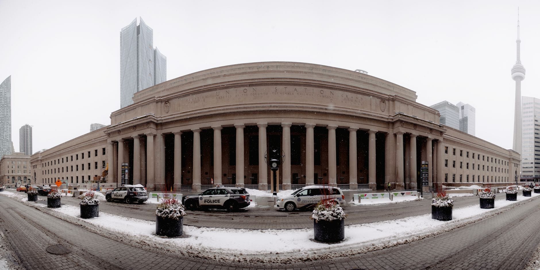
Union Station is the center of Toronto's transport universe. From this single building you can board TTC subway lines, GO Transit trains and buses, the UP Express, VIA Rail (intercity trains across Canada), and Amtrak's Maple Leaf service to New York. If you are planning day trips from Toronto to places like Niagara Falls, Hamilton, or Stratford, GO Transit and VIA Rail are your main options.
GO Transit trains run on roughly a dozen corridors radiating from Union Station. Key lines for visitors include the Lakeshore West line (toward Hamilton), the Lakeshore East line (toward Oshawa), and the Barrie line (toward the north end of the GTA). Frequency varies significantly: the Lakeshore corridors run trains about every 15–30 minutes throughout much of the day, with more limited service late evenings and on some weekends, while some other lines are limited to rush-hour service only. For trips to Niagara Falls, note that GO Transit seasonal service runs on weekends in summer, but year-round options are limited — check gotransit.com before planning.
Ferries, Bike Share & Getting Around the Waterfront
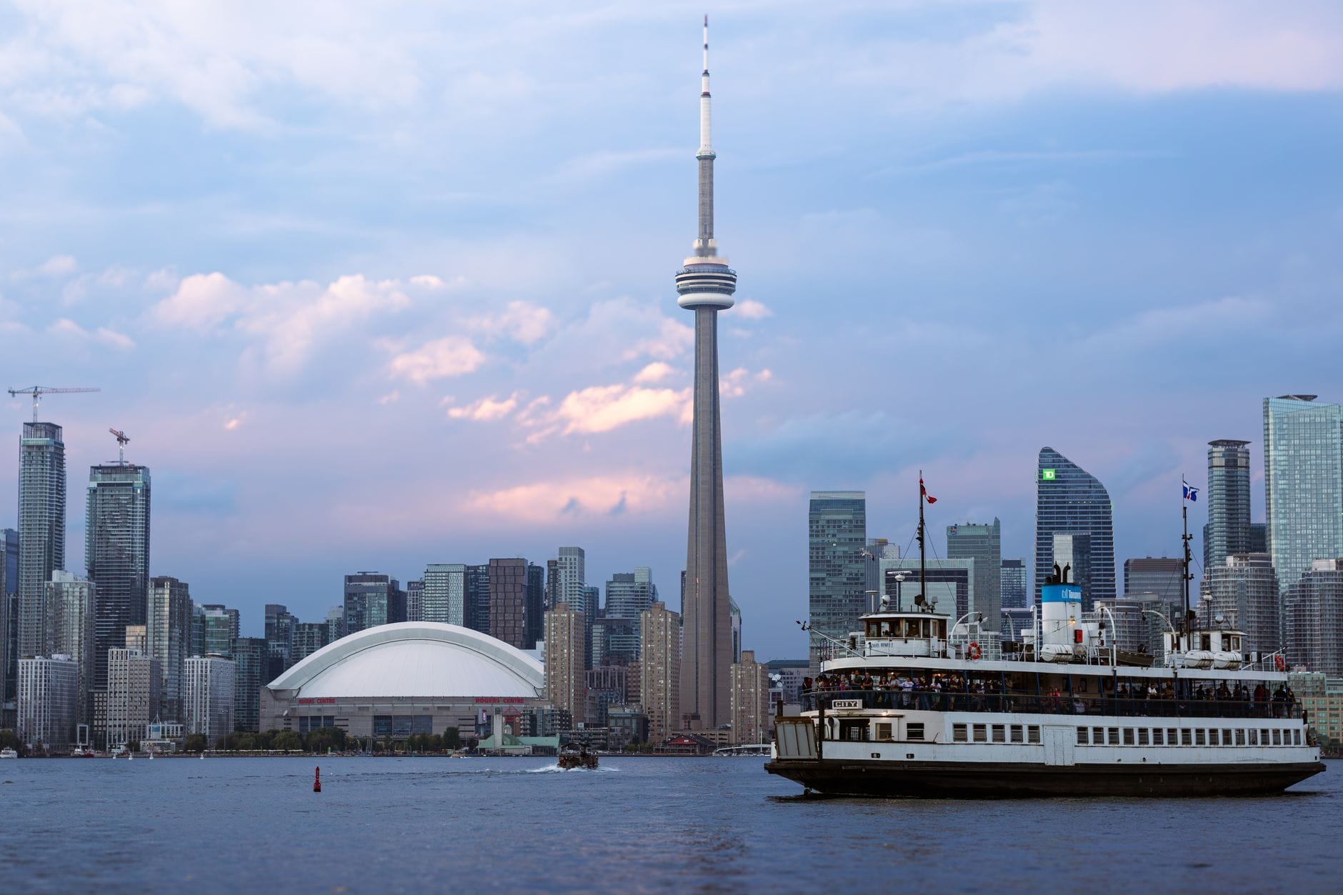
The Toronto Island Ferry departs year-round from the Jack Layton Ferry Terminal at 9 Queens Quay West, roughly a 10-minute walk west of the Scotiabank Arena. Three routes serve Centre Island, Hanlan's Point, and Ward's Island. Ferries run frequently in summer (every 15-30 minutes to Centre Island) and less frequently in winter. Tickets can be bought online or at the terminal — in peak summer, queues at the terminal can be long, so booking online ahead saves time.
Bike Share Toronto operates over 9,000 bikes (including e-bikes) across more than 700 stations, running 24 hours a day, 7 days a week. Coverage is strong across the downtown core, midtown, the waterfront, and inner east and west neighbourhoods. A 30-minute single trip, a day pass, or a 3-day pass covers unlimited rides under 30 minutes (additional fees apply per extra 30 minutes). For cycling the Martin Goodman Trail along the waterfront, Bike Share is the most convenient option short of bringing your own bicycle.
Practical Tips: Timing, Neighbourhoods & Navigating Like a Local
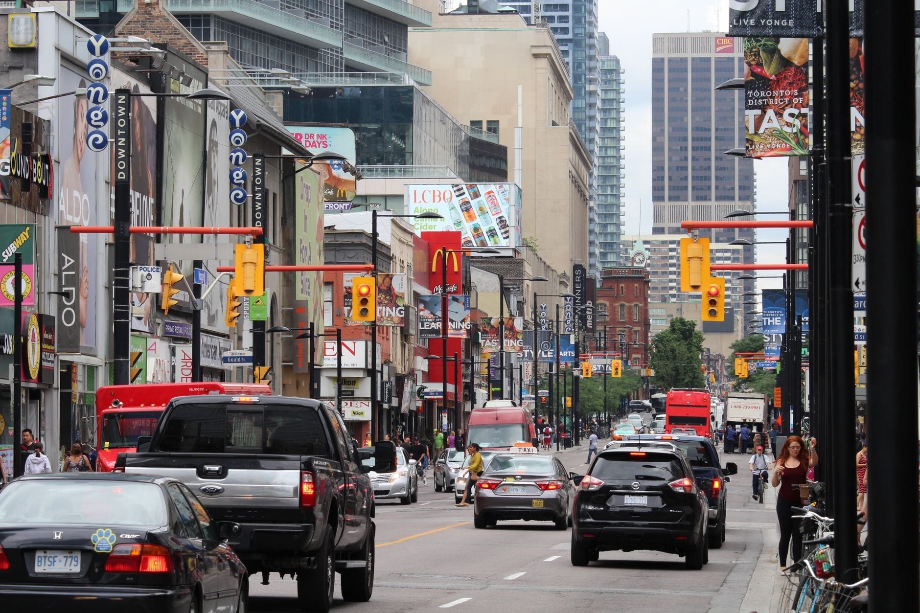
Toronto's grid layout makes navigation relatively intuitive in the downtown core. Yonge Street is the main north-south spine that divides east and west address numbering. Streets generally run east-west; avenues run north-south. The key east-west arteries for visitors are Bloor Street (connecting Yorkville, the Annex, and Koreatown), Queen Street (arts, food, nightlife), King Street (entertainment, finance, distillery), and Front Street (Union Station, the waterfront). North-south, Bay Street, Yonge Street, Spadina Avenue, and Bathurst Street are the main corridors.
In winter, the PATH underground city is worth knowing about. This 30 km network of underground tunnels connects Union Station to much of the Financial District and beyond, letting you move between buildings and subway stations without going outside. In January or February, when temperatures drop to -10°C or colder, PATH becomes genuinely useful. The signage has improved in recent years but can still be confusing — download the map from the City of Toronto's website before you need it.
- Avoid taking the TTC subway during weekday rush hours (7:30-9:30am and 4:30-6:30pm) if your schedule allows — trains on Line 1 through downtown can be severely crowded.
- For trips between the waterfront and the Distillery District, the 504 King streetcar is more practical than the subway.
- Ride-hailing surge pricing in Toronto is especially pronounced after major events at Scotiabank Arena, Rogers Centre, or BMO Field — budget extra or walk to a nearby street.
- TTC subway service runs until approximately 1:30am on most nights and restarts around 6am on weekdays and Saturdays, with the first train later on Sunday mornings. Night buses run in place of the subway after hours.
- In summer, the waterfront and Toronto Islands are significantly more crowded on weekends. If visiting Centre Island with kids, arrive at the ferry terminal before 10am or expect long waits.
- Tipping in taxis and ride-hailing apps follows the same conventions as restaurants — 15-20% is standard in Toronto.
ℹ️ Good to know
Toronto operates on Eastern Time: UTC-5 in winter (EST) and UTC-4 in summer (EDT). Daylight saving time begins in March and ends in November, consistent with most of North America. When scheduling early flights or transfers, double-check the time zone change if your trip spans the clocks-change weekend.
For visitors who want a structured introduction to the city's geography before committing to independent transit, Toronto walking tours offer a practical way to get oriented while covering key neighbourhoods on foot. Many tours start near Union Station or Nathan Phillips Square, putting you at a natural transit hub at the end.
FAQ
What is the best way to get from Toronto Pearson Airport to downtown?
The UP Express train is the fastest and most reliable option, taking about 25 minutes to Union Station and running every 15 minutes. Adult fares are around $12-13 CAD with a Presto card. Taxis and ride-hailing are available but subject to heavy traffic congestion, especially during weekday rush hours. A budget alternative is the TTC 900 Airport Express bus to Kipling subway station, though the total journey takes 60-90 minutes.
Does the TTC subway cover all of Toronto?
The TTC subway covers the City of Toronto proper, with four lines and 70 stations. It does not extend to most suburbs or the Greater Toronto Area (GTA). For destinations in Mississauga, Brampton, Hamilton, or other surrounding cities, you need GO Transit or another regional service.
Is a Presto card worth getting for a short visit to Toronto?
Yes, for stays of two days or more, a Presto card is worth the initial cost. It works across TTC, GO Transit, UP Express, and other regional transit. The 2-hour transfer window on TTC is only accessible via Presto or a day pass — cash fares do not include free transfers. Cards are available at any TTC subway station.
How do I get to the Toronto Islands?
The Toronto Island Ferry runs year-round from the Jack Layton Ferry Terminal at 9 Queens Quay West, near the waterfront. In summer, ferries to Centre Island run every 15-30 minutes. Tickets can be purchased at the terminal or online. In peak summer, buying online in advance avoids long queues.
Is Toronto safe to travel around using public transit at night?
TTC subway service runs until approximately 1:30am, with night bus routes operating after that until subway service resumes around 6am. The downtown stations and main bus routes are well-used and reasonably safe. For late nights after events or in quieter areas, ride-hailing apps are a practical alternative. Check the Toronto Transit Commission's website for current night service maps.