Getting Around Auckland: The Complete Transport Guide
Auckland sprawls across an isthmus with two harbours, dozens of suburbs, and islands in the gulf. This guide breaks down every practical way to navigate the city, from AT HOP card fares to ferry routes, rental cars, and the airport transfer options that are actually worth your time.
Tickets & tours
Live prices and dates from our booking partner. If you book, we may earn a commission at no extra cost to you.
TL;DR
- Auckland Transport (AT) runs the bus, train, and ferry network; a single zone-based fare covers multi-leg bus-and-train journeys.
- Pay by contactless card or AT HOP on buses and trains; cash is not accepted on buses. Adult fares start at $3 for one zone (as of February 2026). Check getting around on a budget for discount strategies.
- The AirportLink bus to Puhinui Station runs every 10 minutes from 4:30 a.m. to 12:40 a.m. and is the cheapest airport transfer option.
- Ferries to Devonport and Waiheke Island depart from the Downtown Ferry Terminal and use separate route-based fares, not the zone system.
- Driving gives you the most flexibility but Auckland traffic is genuinely bad, especially on the Harbour Bridge and motorway interchanges; day trips out of the city are often where renting a car makes the most sense.
How Auckland's Transport Network Actually Works
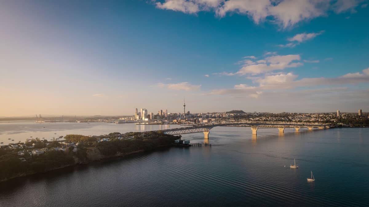
Getting around Auckland requires understanding one key fact upfront: it is a large, sprawling city of roughly 1.66 million people across a 4,941 km² region. The central suburbs are reasonably well connected by public transport, but once you move toward the outer suburbs, the West Coast beaches, or regional attractions, the network thins out considerably. Auckland Transport (AT) is the single operator responsible for buses, trains, and ferries. Their journey planner at at.govt.nz is the most reliable tool for planning any trip.
The fare system is zone-based for buses and trains, which is worth understanding before you tap on for the first time. The fare system is zone-based for buses and trains, which is worth understanding before you tap on for the first time. Check Auckland Transport for current fares. Critically, if your journey involves transferring between a bus and a train, you generally pay one zone-based fare for the whole trip rather than a separate fare for each vehicle. Ferries are the exception: they operate on route-based pricing and are charged separately.
ℹ️ Good to know
Cash is not accepted on Auckland buses. On trains and ferries, cash fares are technically available but cost significantly more. Pay by contactless bank card, smartphone, or AT HOP card to get the standard published fare and avoid surprises at the platform.
Buses: The Backbone of Daily Travel
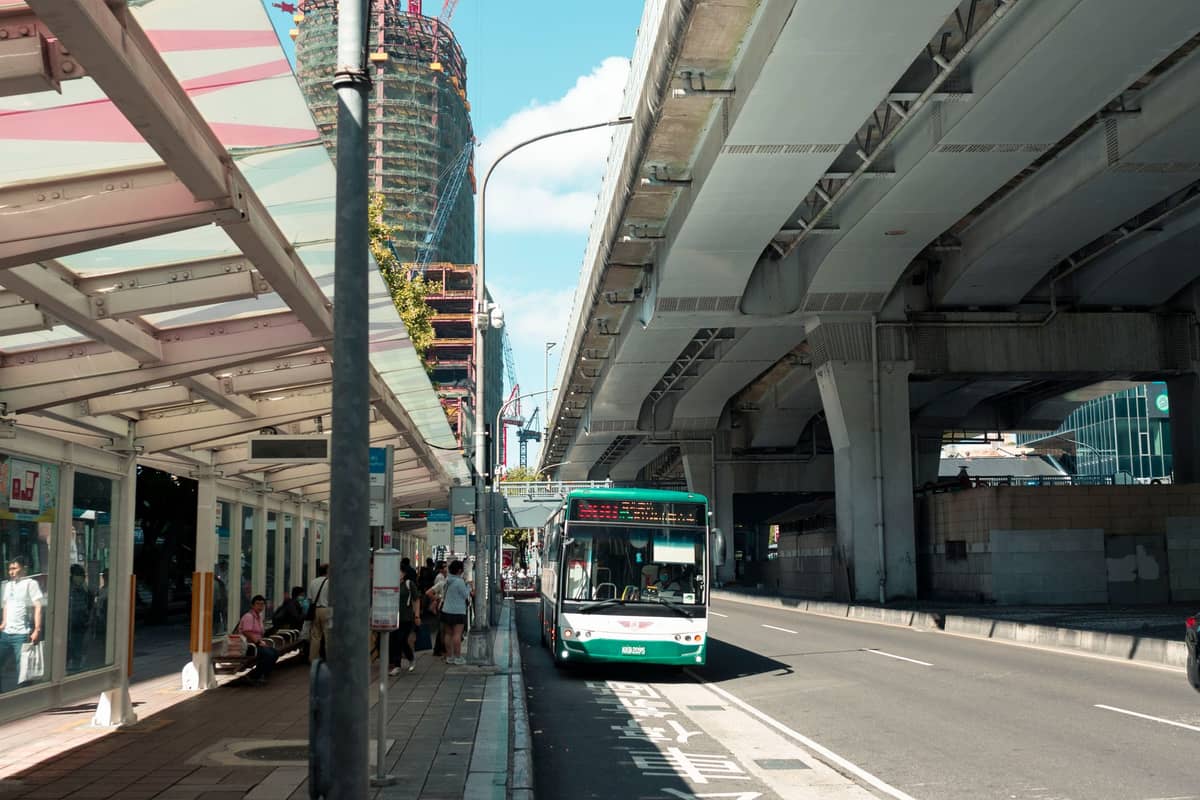
Buses cover more ground than trains and are the primary way most Aucklanders use public transport day-to-day. The network radiates from several interchange points: Britomart in the CBD, Wynyard Quarter, and Manukau. Frequency varies enormously by route. The frequent routes (marked in red on the AT map) run every 10-15 minutes through most of the day and are genuinely reliable for getting between central suburbs like Ponsonby, Newmarket, Parnell, and the CBD. Off-peak and weekend frequencies drop on many routes, so checking the real-time AT app before heading to a stop is a good habit.
For visitors, the most practically useful bus routes tend to connect central suburbs to the waterfront and inner east. If you are staying in Ponsonby or Karangahape Road, you are within 2-3 km of the CBD and buses run frequently enough to make a car unnecessary for most of the trip. If your accommodation is further out, build extra travel time into your plans.
💡 Local tip
Download the AT Mobile app before you arrive. It shows real-time departures, route maps, and your AT HOP balance. The web journey planner is also excellent but the app works offline for saved routes.
Trains: Useful for Specific Corridors, Not the Whole City
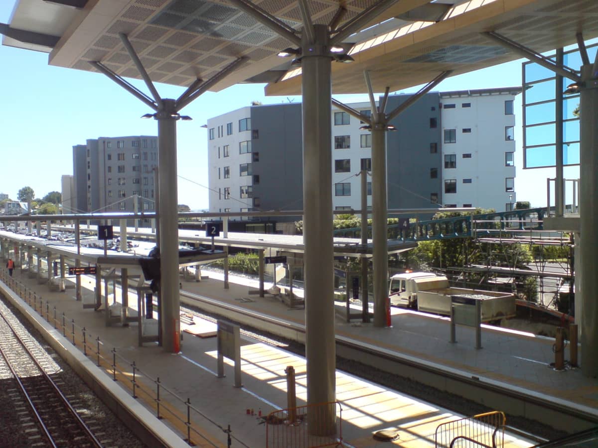
Auckland's commuter rail network is changing with the City Rail Link: the Eastern and Western lines combine as the East-West Line, the Southern Line becomes the South-City Line, and the Onehunga Line becomes the Onehunga-West Line. These are useful for reaching Newmarket, Grafton, New Lynn, Henderson, and the airport corridor at Puhinui, but they do not cover the North Shore or many inner suburbs visitors are likely to explore. Waitematā Station (formerly Britomart) is now a through station on the City Rail Link rather than a dead-end terminus.
Rail works are a recurring reality in Auckland. AT periodically closes sections for upgrades, running buses in place of trains. This happens with enough frequency that checking AT's service alerts in the week before your visit is genuinely worthwhile, not just a precautionary note. During the summer holiday period and long weekends, engineering works are particularly common.
⚠️ What to skip
Do not assume the train route you planned weeks in advance will still be running the same way. Check AT's service updates at at.govt.nz within a day or two of travel. Rail replacement buses add significant time to journeys and do not always stop at the same locations.
Ferries: The Most Enjoyable Way to Cross the Harbour
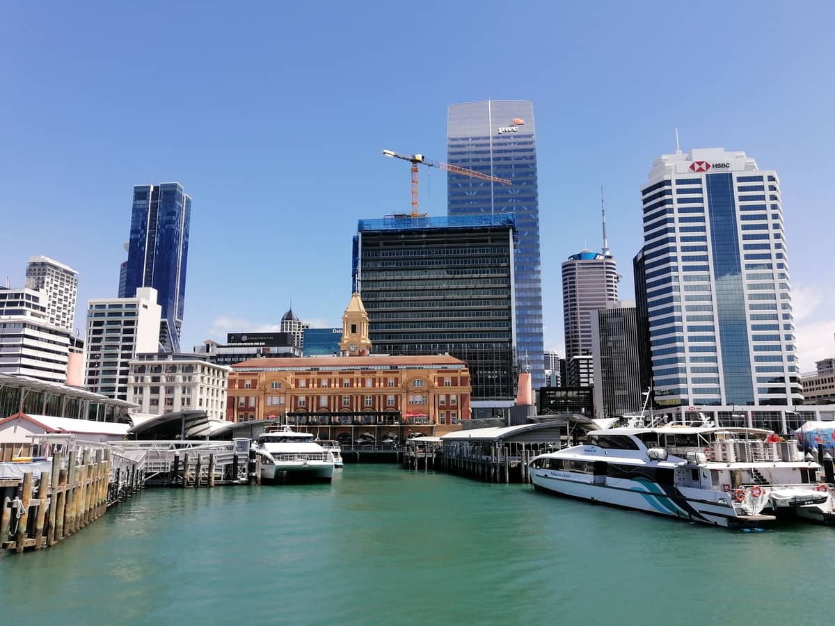
Ferries depart from the Downtown Ferry Terminal on Quay Street, near Queens Wharf and the Viaduct. They serve Devonport, Bayswater, Birkenhead, Northcote, Half Moon Bay, and Waiheke Island, among other stops. For visitors, the two most used routes are Devonport (around 12 minutes each way) and Waiheke Island (around 40 minutes each way).
Ferry travel is practical but also genuinely pleasant on a clear day, with views of the harbour, Rangitoto Island, and the city skyline. The Waiheke Island day trip is one of the most popular excursions from Auckland, and the ferry is the only realistic way to get there without booking a private charter. Similarly, Devonport is accessible by bus from the North Shore but the ferry from downtown takes a fraction of the time and saves navigating the Harbour Bridge.
- Downtown to Devonport Around 12 minutes, $7.80 by HOP or contactless. Runs frequently throughout the day and into the evening.
- Downtown to Waiheke Island Around 35 minutes, fare varies; check AT's website for current pricing. Sailings are less frequent than the harbour routes.
- Downtown to Half Moon Bay Around 40 minutes, for eastern suburbs access. Less useful for most visitors.
- North Shore routes (Bayswater, Birkenhead, Northcote) A practical alternative to driving or busing over the Harbour Bridge, particularly during peak hours.
Getting from Auckland Airport to the City
Auckland Airport (AKL) is located in Māngere, about 21 km south of the CBD. This is not a short transfer under any circumstances, and traffic on the Southern Motorway during weekday peak hours can make it take 45-75 minutes by road. Check the Auckland Airport guide for detailed terminal and arrival information.
- AirportLink Bus + Train The AirportLink bus connects the airport directly with Puhinui Station (on the Southern Line) and Manukau Bus Station. It runs every 10 minutes from 4:30 a.m. to 12:40 a.m., seven days. From Puhinui, you catch a train to Britomart. This is the cheapest option; total journey to the CBD is roughly 45-60 minutes depending on connections.
- Route 38 Bus Connects the airport with Onehunga via Māngere Town Centre. Slower than the AirportLink but covers a different corridor of the city.
- SkyDrive Express Coach Direct coach service from the airport to SkyCity on Albert Street. Faster than the bus-train combo for central city stays, especially with luggage. Fares and timetables change; check their website for current pricing.
- Taxi or Rideshare Designated pickup zones for rideshare apps are at the airport. Fares to the CBD vary by time of day and demand. Budget roughly $60-90 NZD under typical conditions, but surge pricing applies during peak hours and events.
- Rental Car Multiple rental desks are in the terminal precinct. Viable if you are heading outside the city or need one for your whole trip, but factor in CBD parking costs ($25-40 NZD per day in central car parks).
✨ Pro tip
If you are arriving while the AirportLink and trains are running and staying near Britomart or the CBD, the AirportLink to Puhinui then a train to Britomart is the best value. If you have heavy luggage or are arriving outside service hours, budget for a taxi or rideshare. The SkyDrive coach is worth the premium over the bus if you want a direct, seated service without transfers. If you have heavy luggage or are arriving before 4:30 a.m., budget for a taxi or rideshare. The SkyDrive coach is worth the premium over the bus if you want a direct, seated service without transfers.
Driving, Cycling, and Walking in Auckland
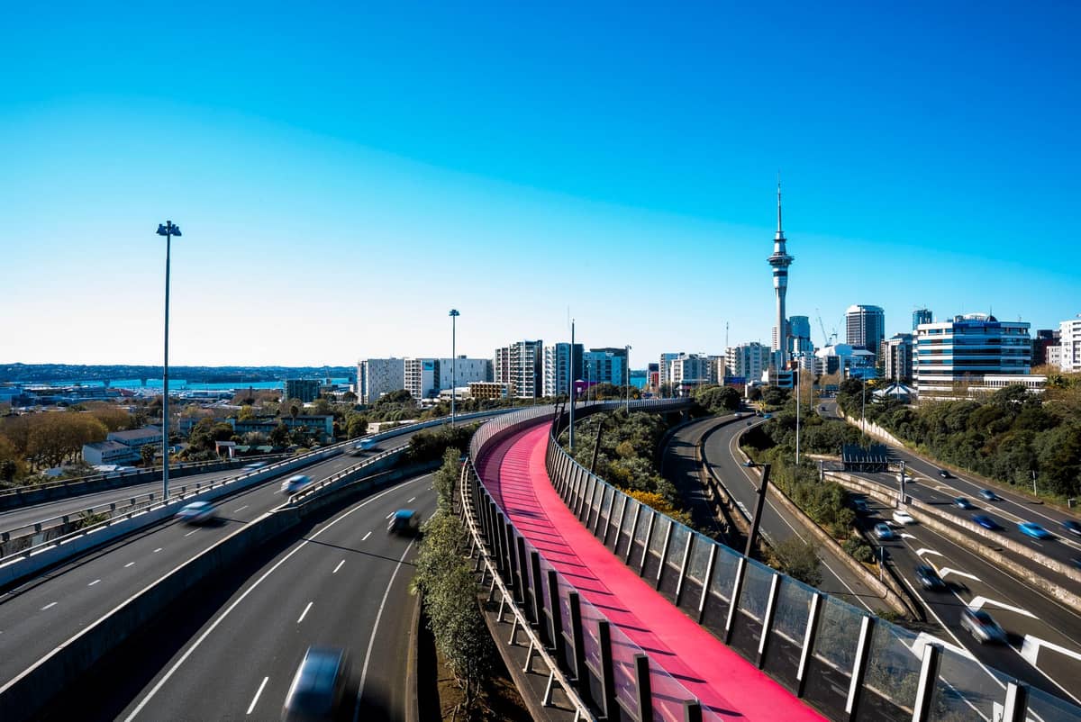
Driving in Auckland gives you genuine freedom to reach places public transport cannot, particularly the West Coast beaches, the Waitakere Ranges, and outer regional parks. However, Auckland has a well-documented congestion problem. The Harbour Bridge, the spaghetti junction interchange near the CBD, and the main motorway corridors into the city can be very slow between 7-9 a.m. and 4-6:30 p.m. on weekdays. If you are driving, plan arrivals and departures outside these windows or use real-time navigation apps that reroute around delays.
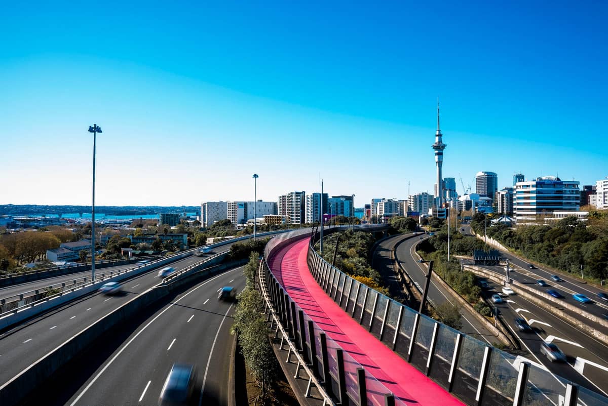
Walking is underrated for the central city. Britomart, the waterfront, the CBD, Wynyard Quarter, and the lower end of Ponsonby Road are all within 30-40 minutes on foot of each other. The Coast to Coast Walkway links Waitemata Harbour to Manukau Harbour through the city's volcanic landscape and is one of the best ways to understand Auckland's geography. The Te Ara i Whiti Lightpath is a dedicated cycling and walking path connecting the CBD with upper Karangahape Road, part of an expanding cycle network.
Cycling infrastructure has improved significantly in recent years but is still patchy outside dedicated paths. Road cycling alongside traffic is common but not always comfortable for visitors unfamiliar with the routes. Shared e-scooter and e-bike services operate in central Auckland; these are useful for short inner-city trips and are available through multiple operators whose zones and pricing you can check via their apps.
FAQ
Do I need an AT HOP card or can I just use my bank card?
You can use a contactless debit or credit card, or a compatible smartphone or smartwatch, on Auckland buses, trains, and most ferries. The fare is the same as the AT HOP card fare. An AT HOP card is useful if you want to track spending across the trip or if your bank card has international transaction fees, but it is not required.
Is the bus or taxi cheaper from Auckland Airport to the city?
The AirportLink bus combined with a train to Britomart is significantly cheaper than a taxi or rideshare, which typically runs $60-90 NZD to the central city depending on conditions. The trade-off is travel time and convenience, especially with luggage. The SkyDrive coach sits in the middle: more expensive than the bus but cheaper and more direct than a taxi for central city stops.
Can I get to Waiheke Island by public transport?
Yes. Fullers360 ferries depart from the Downtown Ferry Terminal near Britomart regularly throughout the day. The crossing takes around 40 minutes. Timetables are seasonal, with more frequent sailings in summer. Once on Waiheke, buses connect the main settlements, or you can rent a bike or car on the island.
How do I get to the West Coast beaches like Piha from central Auckland?
Public transport to Piha and Karekare is very limited. There is an occasional bus service on weekends during summer (check AT's journey planner), but in practice most visitors drive or join a tour. The drive from central Auckland to Piha takes about 45 minutes under normal conditions via SH16 and Scenic Drive through the Waitakere Ranges. A rental car or car hire is the most practical option for a full day at the West Coast.
Is the North Shore easily reachable from the CBD without a car?
Yes, by bus or ferry. Several bus routes cross the Auckland Harbour Bridge to Takapuna, Albany, and other North Shore suburbs. Ferries from the Downtown Ferry Terminal serve Devonport, Bayswater, Birkenhead, and Northcote, which are all on the North Shore. During peak hours, the ferry is often faster than the bus over the bridge.
Tickets & tours
Live prices and dates from our booking partner. If you book, we may earn a commission at no extra cost to you.
Planning a trip? Discover personalized activities with the Nomado app.