Getting Around Sardinia: The Complete Transport Guide
Sardinia covers 24,090 km² of mountains, coastline, and rural roads with no motorways. This guide breaks down every realistic transport option, from renting a car to catching the right ferry, so you can plan a trip that actually works.
Plan and book this trip
Tools from our partner Travelpayouts help you compare flights and hotels. If you book through them, we may earn a commission at no extra cost to you.
Flights
Hotels map
TL;DR
- A rental car is the most practical way to get around Sardinia, especially for beaches, inland villages, and the Gennargentu area.
- Three airports serve the island: Cagliari (CAG) for the south, Olbia (OLB) for the northeast and Costa Smeralda, and Alghero (AHO) for the northwest.
- Ferries from Civitavecchia, Genoa, Livorno, and Naples are the best option if you want to bring your own vehicle.
- Regional trains and ARST buses connect the main cities but are slow and infrequent outside the Cagliari-Sassari corridor.
- Sardinia has no motorways, so journey times between regions are longer than a map suggests.
Why Getting Around Sardinia Requires Some Planning
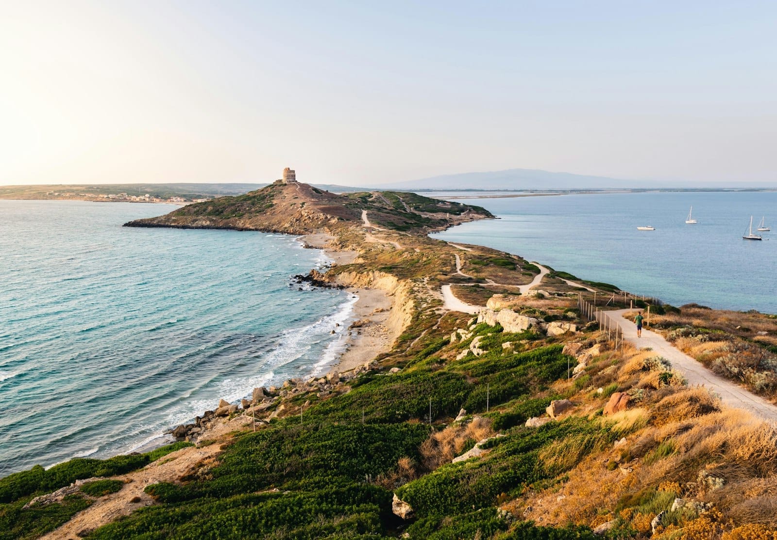
Sardinia is the second-largest island in the Mediterranean, covering over 24,000 km² with a coastline of around 1,850 km. It is also Italy's only region with no motorway network. Roads are mostly state highways and provincial routes, many of them two-lane roads through mountains or scrubland. That geographical reality shapes every transport decision you make. The island rewards visitors who plan their routes in advance, and it punishes those who assume Italian mainland travel times apply here. For a fuller picture of the island before you start planning, the one week in Sardinia itinerary is a useful starting point.
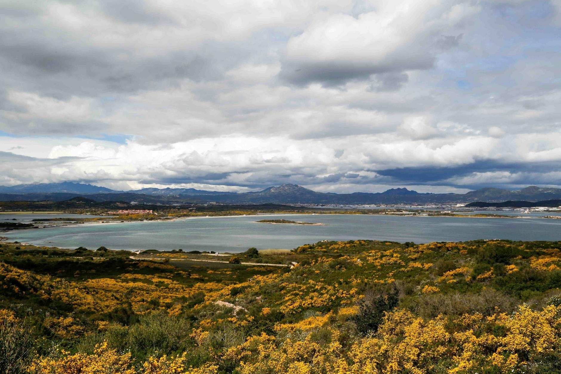
The island is administratively divided into regions, but for transport purposes visitors think in terms of three zones: the south around Cagliari, the northeast around Olbia and Costa Smeralda, and the northwest around Alghero and Sassari. The mountainous interior, including the Barbagia and Gennargentu areas, sits largely outside the public transport network. Getting between these zones by public transport takes the better part of a day. By car, the same journey typically takes two to three hours.
⚠️ What to skip
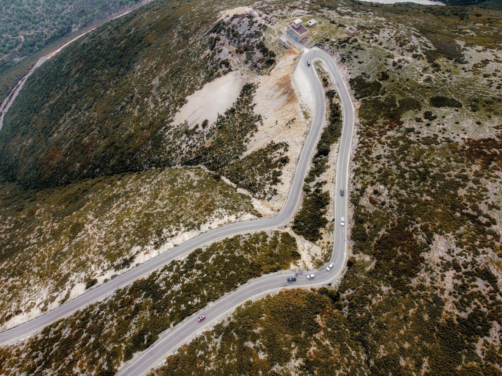
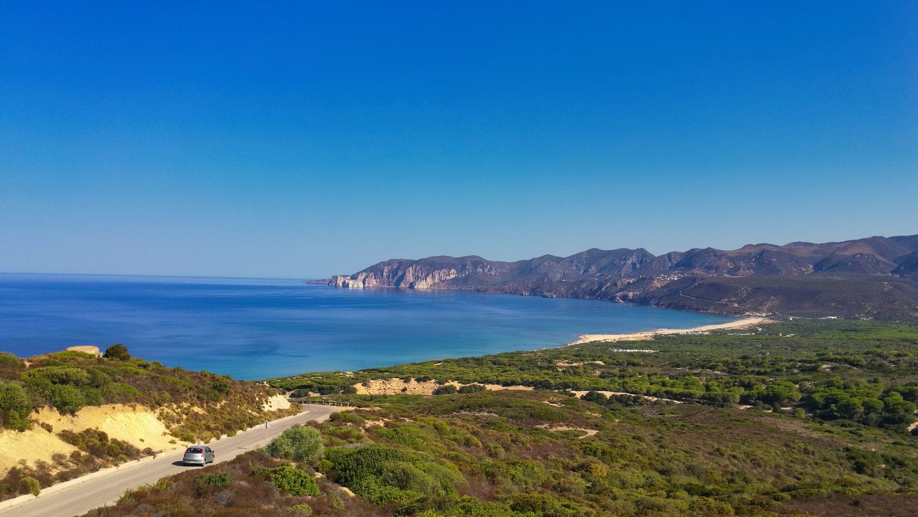
Sardinia has no motorways. The SS131 (Carlo Felice highway) is the main artery linking Cagliari to Sassari and is fast by local standards, but most other routes are single-carriageway roads through hills and villages. Budget extra time for any journey outside the main corridor.
Renting a Car: The Most Flexible Option
For most visitors, renting a car is the right call. It is the only realistic way to reach the island's best beaches, nuragic sites, and highland villages on a flexible schedule. All three airports have on-site rental desks from major international companies including Hertz, Avis, Europcar, and Sixt, as well as local operators. Booking in advance is strongly recommended from June through September, when summer demand drives prices up and availability drops. Picking up and dropping off at different airports (a one-way rental) is possible but usually carries a surcharge; check this when booking.
Fuel stations in rural areas can be widely spaced, so it is worth filling up before heading into the interior or along the more remote coastal stretches. If you are planning to explore the Ogliastra coast or the Golfo di Orosei, factor in that some roads to beaches and trailheads are unpaved. A standard compact car handles most surfaces, but a higher-clearance vehicle is useful for the rougher tracks.
- Book early in summer Rental cars at Sardinian airports sell out in July and August. Book at least 4-6 weeks ahead, and compare prices across brokers like Rentalcars.com or directly with operators.
- Check insurance carefully Basic CDW (collision damage waiver) is standard, but excess amounts can be high. Consider purchasing full coverage or using a credit card with rental car protection.
- ZTL zones in town centres Cagliari, Alghero, and other historic centres have restricted traffic zones (ZTL). Driving into one without a permit generates an automatic fine. Park at the edge of the old town and walk.
- Parking at beaches in August Popular beaches such as La Pelosa near Stintino and those around Villasimius fill their parking areas by 9am in peak season. Arrive early or use shuttle buses where available.
Getting to Sardinia: Airports and Ferries
Sardinia has three commercial airports, each serving a distinct part of the island. Choosing the right arrival point saves significant driving time and often money on internal transfers.
- Cagliari Elmas Airport (CAG) Located about 7 km northwest of Cagliari city centre. The main gateway for the south of the island, including Villasimius, Chia, and Sulcis. A direct train from the airport station reaches Cagliari Centrale in around 5-7 minutes. Served by Ryanair, easyJet, ITA Airways, and seasonal charter flights from across Europe.
- Olbia Costa Smeralda Airport (OLB) Located about 4 km from Olbia city centre. The primary entry point for the northeast, Costa Smeralda, La Maddalena, and Gallura. ASPO city buses connect the airport to Olbia. Taxis are available outside the terminal. Heavily used by private jets in summer due to the high-end Costa Smeralda market.
- Alghero-Fertilia Airport (AHO) Located about 8 km northwest of Alghero. Best suited for visits to Alghero, Sassari, and the northwest coast. ARST buses connect the airport to Alghero and Sassari. Ryanair operates strong connections here from the UK and other European cities.
Ferries are a practical alternative, particularly if you want to bring a car. The main routes to Sardinia depart from Civitavecchia (Rome's port), Genoa, Livorno, Naples, and other Italian ports such as Piombino. The main operators are Tirrenia, Grimaldi Lines, Moby, and GNV. Crossing times vary considerably: Civitavecchia to Cagliari takes roughly 14-16 hours overnight, while Genoa to Porto Torres in the north takes around 11-13 hours. Overnight ferries with a cabin are the standard approach, and booking well in advance is essential in summer. Sardinia's main ferry ports are Cagliari, Olbia, Porto Torres, and Golfo Aranci, with additional services to Arbatax.
💡 Local tip
If you are flying into Olbia and planning to visit Cagliari, or vice versa, consider booking an open-jaw flight (fly into one airport, out of another) and planning a one-way road trip across the island. This is often more efficient than backtracking.
Public Transport: Trains and Buses
Public transport in Sardinia works well enough for travel between major cities, but it has real limitations for anyone wanting to explore the coast or interior on their own schedule. The practical takeaway: if you are spending a week or more and plan to move around, public transport alone will frustrate you.
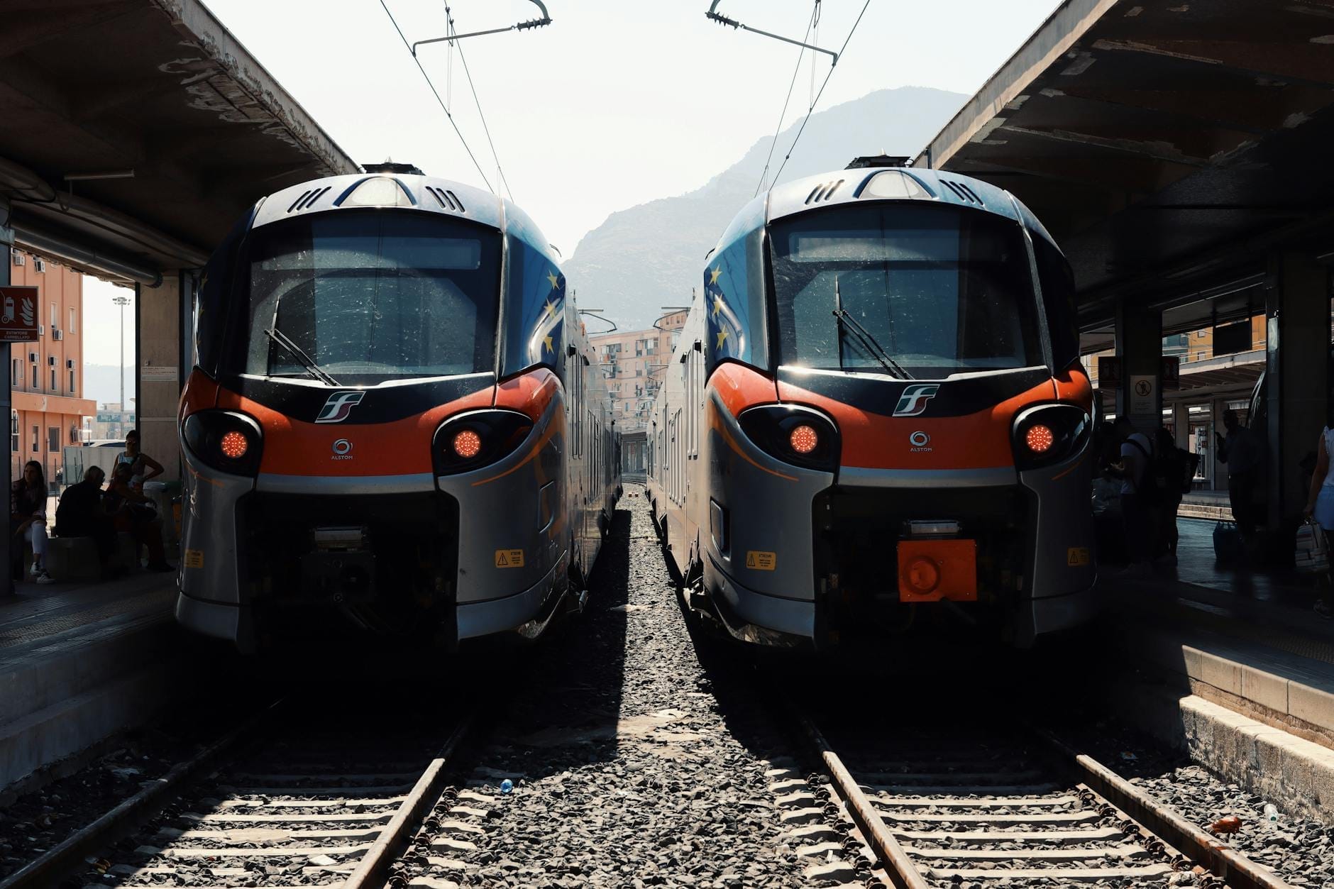
Trenitalia operates the main standard-gauge railway lines, connecting Cagliari, Oristano, Sassari, Olbia, and Golfo Aranci. The Cagliari-Sassari route via the SS131 corridor is the most useful for travellers. Journey times are long relative to the distance: Cagliari to Sassari takes around 3 hours by train, a journey of roughly 220 km. ARST (Azienda Regionale Sarda Trasporti) runs both narrow-gauge regional trains and the extensive bus network that covers most of the island's towns, including many that the main rail line misses entirely.
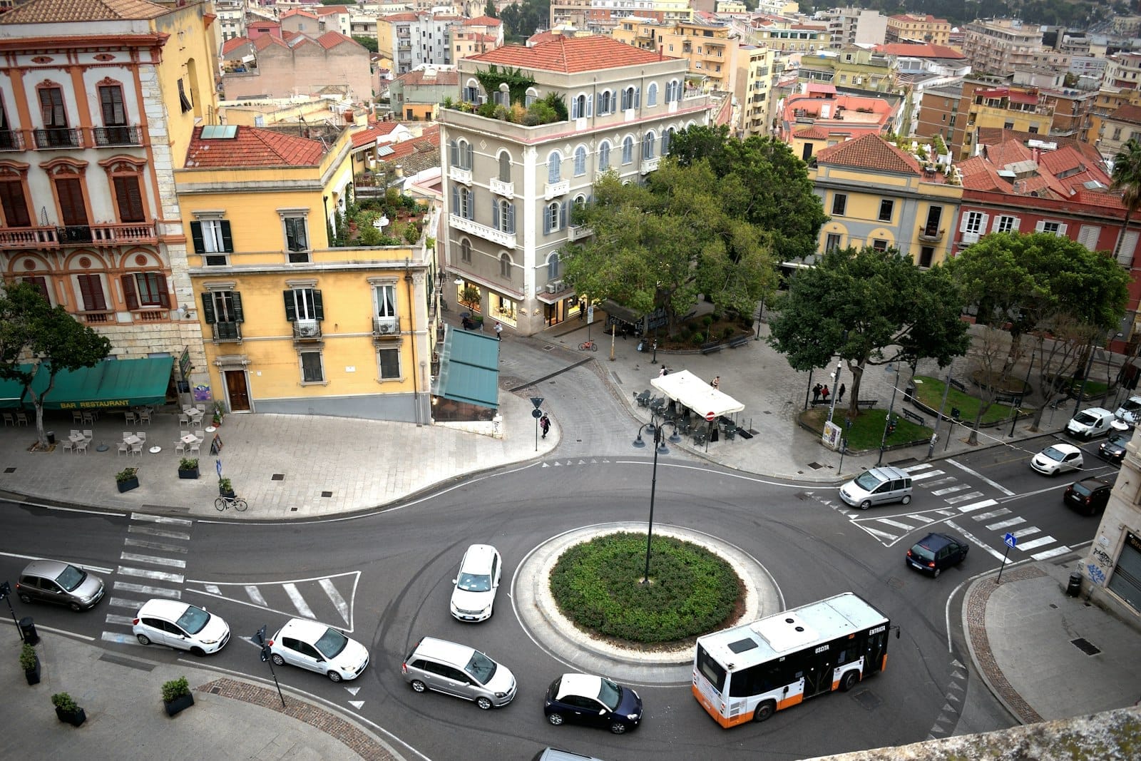
In Cagliari, CTM operates city buses and the Metrocagliari light rail line, which links the city centre with suburban areas. Sassari has its own light metro (Metrotranvia di Sassari) operated by ARST. For visitors who are basing themselves in one of these cities and taking day trips, the urban networks are useful. The day trips from Cagliari guide covers the best routes you can do without a car from the capital.
One transport option worth knowing about is the Trenino Verde, a series of historic narrow-gauge tourist train routes operated by ARST through the Sardinian interior. These run in summer and are scenic rather than practical, but they offer a unique way to see the landscape between Mandas and Arbatax, or through the Barbagia highlands. Timetables are seasonal and limited, so check the ARST website before planning around them.
✨ Pro tip
ARST bus timetables are published on the official ARST website (arst.sardegna.it) and are updated seasonally. The summer and winter timetables differ significantly. Always verify schedules at the time of travel, not just before booking your flights.
Getting Between Cities: Realistic Journey Times
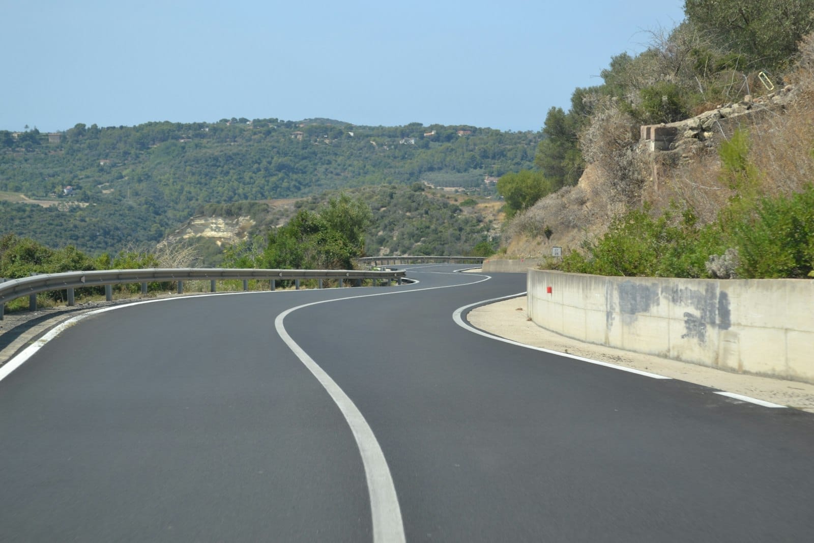
The absence of motorways means journey times are longer than Italian mainland travellers expect. The SS131, the main spine road running from Cagliari in the south to Porto Torres in the north via Oristano and Sassari, is the fastest road on the island and operates as a dual carriageway for much of its length. Other major routes are single-carriageway state roads that wind through mountains or cross the central plateau.
- Cagliari to Olbia: approximately 3 hours by car (270 km via SS131 and SS597)
- Cagliari to Alghero: approximately 3 hours by car (250 km via SS131 and SS291)
- Cagliari to Nuoro: approximately 2 hours by car (180 km via SS131 and SS131bis)
- Olbia to Alghero: approximately 2-2.5 hours by car (about 135 km via SS597 and SS729)
- Cagliari to Villasimius: approximately 45 minutes by car (50 km via SS125)
- Cagliari to Sassari: approximately 2 hours by car (210 km via SS131)
For travellers planning a longer loop of the island, a structured road trip itinerary is the most efficient way to organise the driving. The Sardinia road trip guide maps out the key circuits, including how long to budget for each leg and which detours are worth the extra time.
Taxis, Scooters, and Other Options
Taxis are readily available at all three airports and in city centres, operating on regulated fares set by local municipalities. Fares are metered in the cities but may be fixed or negotiated for longer transfers, such as airport-to-resort runs. Radio taxi services are the standard in Cagliari and Olbia; smartphone-based ride-hailing in the Uber sense is not widely available across Sardinia, and this situation is unlikely to change in the short term given the limited urban population and strong taxi operator presence in Italy.
Scooter and motorbike rental is available in resort towns and city centres, and a 125cc scooter handles most coastal roads well. For more adventurous terrain, motorcycle touring is popular on the island's scenic routes. Cycling is possible but demanding given the hills and summer heat; dedicated cycling routes are limited outside of organised itineraries. For those interested in the island's maritime side, boat trips around Sardinia are an excellent way to access beaches that are difficult or impossible to reach by road, particularly along the Golfo di Orosei.
ℹ️ Good to know
Italy uses Type C, F, and L electrical plugs at 230V/50Hz. The country dialing code is +39. The EU-wide emergency number 112 works across Sardinia, alongside 118 for medical emergencies. Italian is the official language; in Alghero, Catalan is also spoken historically. The currency is the Euro (EUR).
Seasonal Considerations for Travel
When you travel has a significant effect on how easy it is to get around. July and August bring the highest prices, the most traffic on coastal roads, and the most competition for rental cars and ferry cabin berths. The beaches around Villasimius and Costa Rei and the northeast can see severe road congestion on weekends in peak season. Arriving midweek and moving early in the morning helps, but it does not eliminate the problem.
May, June, September, and October are the shoulder months where transport logistics become significantly easier. Roads are quieter, rental cars are cheaper and more available, and ferry routes operate on fuller schedules without requiring months of advance booking. Sea temperatures are still comfortable for swimming from May through October, and the landscape is arguably more photogenic outside the bleached-out July heat. For a detailed seasonal breakdown, the best time to visit Sardinia guide covers this in full.
FAQ
Do I need a car to get around Sardinia?
Not strictly, but for most itineraries a car makes a significant difference. Buses and trains cover the main cities, but many beaches, nuragic sites, and inland villages are not served by public transport. If you are staying in one city and taking guided day trips, you can manage without a car. If you want to explore freely, rent one.
Which Sardinia airport should I fly into?
It depends on where you are going. Fly into Cagliari (CAG) for the south of the island, including Villasimius, Chia, and Sulcis. Fly into Olbia (OLB) for the northeast, Costa Smeralda, and La Maddalena. Fly into Alghero (AHO) for the northwest, including Alghero city and Sassari. If you are touring the whole island, consider an open-jaw ticket.
How long does it take to drive across Sardinia?
From Cagliari in the south to Olbia in the northeast takes around 3 hours by car under normal conditions. From Cagliari to Sassari in the north takes about 2 hours via the SS131. There are no motorways, so journey times are longer than the distances suggest, and summer traffic on coastal roads adds to this.
Are there ferries between the different parts of Sardinia?
There are no regular long-distance passenger ferry services connecting the main ports within Sardinia itself, apart from short local services such as the Palau–La Maddalena link. Ferries connect Sardinia to the Italian mainland and to other Mediterranean destinations. Within the island, transport is by road, rail, or bus.
Is public transport reliable in Sardinia?
It is reliable in the sense that Trenitalia trains and ARST buses generally run to schedule, but timetables are infrequent and journey times are long. Services reduce significantly outside summer on some routes. Always verify current timetables at arst.sardegna.it or trenitalia.com before your trip, as schedules change between summer and winter.