Bukhansan National Park Hiking Guide: Trails, Tips, and How to Visit
Bukhansan National Park sits inside Seoul's city limits yet delivers genuine mountain terrain, granite ridges, and a 836-meter summit. This guide covers the best trails, transit access, seasonal closures, and practical tips for first-timers and returning hikers alike.
Plan and book this trip
Tools from our partner Travelpayouts help you compare flights and hotels. If you book through them, we may earn a commission at no extra cost to you.
Flights
Hotels map
TL;DR
- Bukhansan National Park is free to enter and located in northern Seoul, spanning the boundary with Gyeonggi Province and reachable by subway and bus.
- The highest point is Baegundae Peak at 836 m; the classic summit route runs about 8.4–9 km round trip and takes 5–6 hours.
- Trails vary from easy forest walks to steep granite scrambles near the top — read the full Seoul hiking guide for alternatives across the city.
- Some trails close during wildfire-prevention seasons in spring and autumn; always check the Korea National Park Service website before you go.
- Autumn (September to November) and late spring (May) offer the best combination of clear skies, mild temperatures, and manageable crowds.
What Bukhansan National Park Actually Is
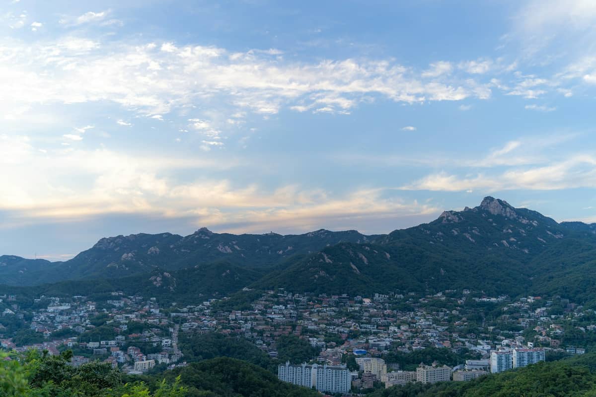
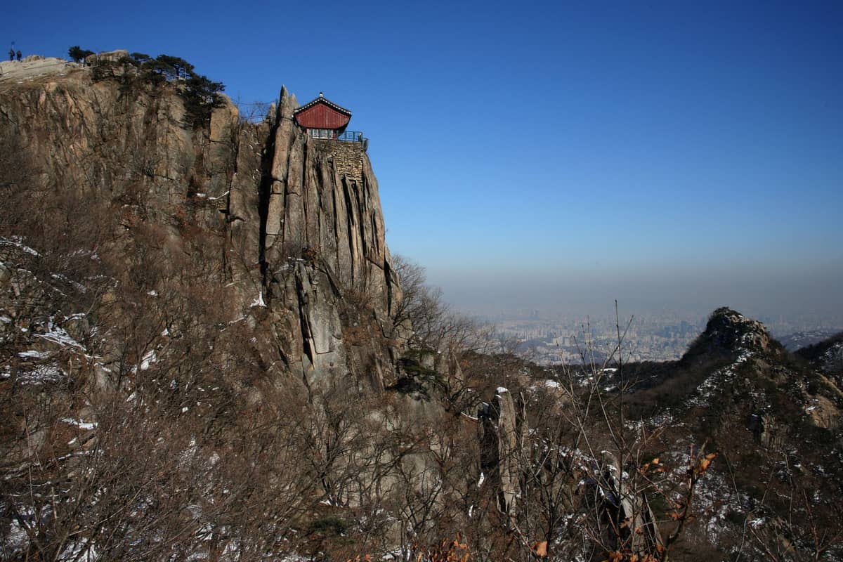
Bukhansan National Park occupies the northern edge of Seoul, straddling the boundary between the city and Gyeonggi Province. The park covers approximately 80 square kilometers of granite peaks, forested ridges, and the remnants of the early-18th-century Bukhansanseong Fortress. Despite lying within the Seoul metropolitan area, the terrain is serious mountain country: exposed rock faces, narrow ridge traverses, and elevation changes that will genuinely test your legs.
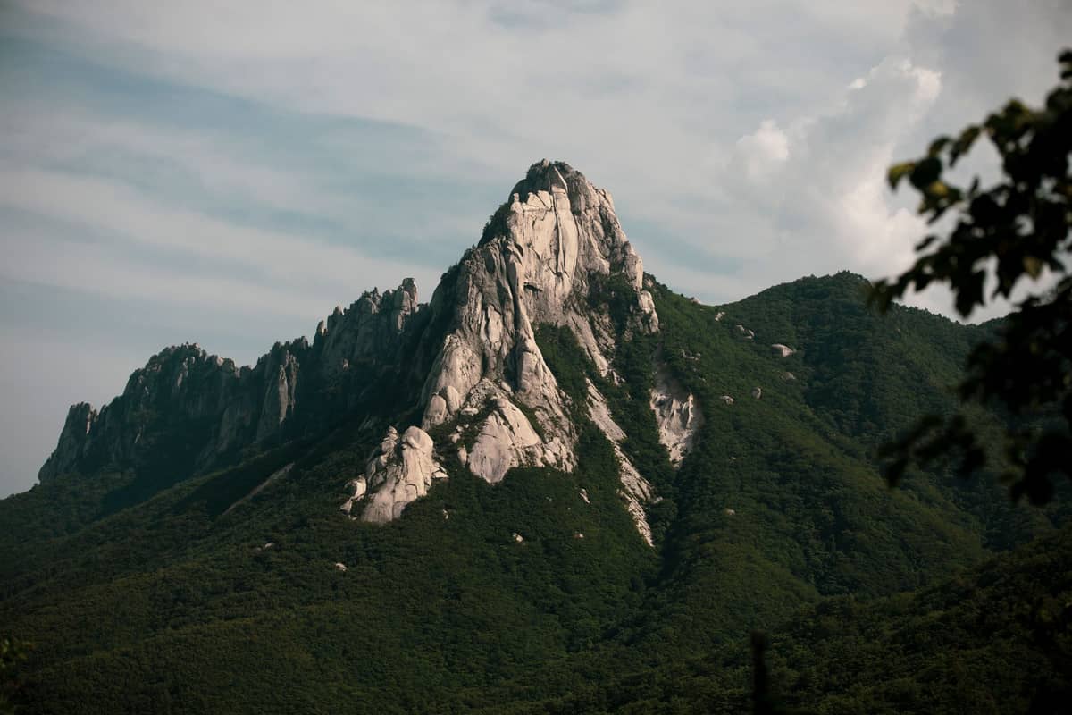
The centerpiece is Baegundae Peak at about 836 meters, which ranks as the highest point in Seoul. On a clear autumn day, the views from the summit stretch across the Han River basin and deep into the city below. Getting there, however, is not a gentle stroll. The upper sections of the summit routes involve steep granite slabs with metal chains bolted into the rock for handholds. Hikers who arrive expecting a city park walk occasionally turn back well before the top.
ℹ️ Good to know
The Korea National Park Service maintains official trail maps, real-time closure notices, and visitor center details at knps.or.kr. Check this before any visit, especially on weekdays in spring and autumn when fire-prevention closures can take effect with short notice.
The Main Trails: Routes and Distances
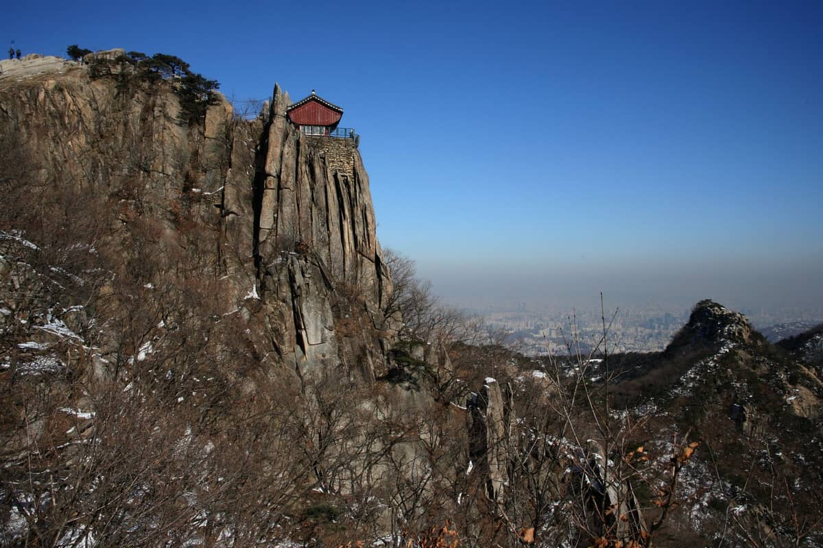
Bukhansan has dozens of marked trails, but most visitors are choosing between a handful of established routes to Baegundae or the fortress circuit. The two most-used approaches to the summit are the Bukhansanseong route and the Ui-dong route.
- Bukhansanseong Route (recommended for first-timers) Approximately 8.4–9 km round trip, 5–6 hours. Starts from Bukhansanseong Information Center, passes through the fortress walls and Jungheungsa Temple, then ascends to Baegundae. The trail is well-marked and the approach is gradual until the final granite section.
- Ui-dong Route Accessed from the Ui-Sinseol Light Rail at Bukhansan Ui Station. Shorter approach to the trailhead than the Bukhansanseong side, but the upper section shares the same steep granite finish. Good for hikers staying in the northeastern part of the city.
- Bukhansanseong Fortress Circuit A lower-elevation loop that follows the historic fortress walls without summiting Baegundae. Suitable for hikers who want a substantial day out without the technical difficulty of the peak. Expect 2–4 hours depending on the section chosen.
- Dobongsan Sector The northern section of the park, separate from Baegundae, centers on Dobongsan Mountain (740 m). This area draws serious rock climbers and hikers looking for different terrain. Accessed via Dobongsan Station on Subway Line 1 or Line 7.
⚠️ What to skip
The chain-assisted granite sections near Baegundae's summit require both hands. Do not attempt this section in wet weather, icy conditions, or if you are not comfortable with exposed scrambling. Multiple people turn back at this point each weekend — there is no shame in it, and the views from just below the summit are still excellent.
Getting to Bukhansan by Public Transit
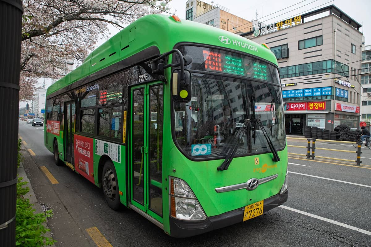
Bukhansan is well-served by Seoul's public transport network. The easiest approach to the Bukhansanseong trailhead is via Seoul's subway system: take Line 3 to Gupabal Station (Exit 1), then board Bus 34 or Bus 704 to the Bukhansanseong stop. The bus ride takes around 15–20 minutes and drops you close to the information center and trail entrance.
For the Ui-dong trailhead, take the Ui-Sinseol Light Rail Line to Bukhansan Ui Station (the terminus). From there it is a short walk to the trail entrance. This route suits hikers coming from Dongdaemun, Seongbuk-gu, or anywhere along the light rail corridor.
For Dobongsan, take Subway Line 1 or Line 7 to Dobongsan Station. The trailhead is a short walk from the station exit and is signed in Korean and English. T-money cards or Cashbee transit cards work across all these routes, and fares follow standard Seoul transit rates. Taxis from central Seoul to the trailheads are an option but will cost significantly more than transit and offer no real time advantage during peak hours.
💡 Local tip
Start early. Weekend mornings from around 7 am see the heaviest foot traffic on the Baegundae route, particularly the bottleneck at the chain section. Arriving at the trailhead by 8 am gives you a meaningful head start before the main crowds.
Seasonal Considerations and Trail Closures
Timing your visit properly matters more at Bukhansan than at most urban attractions. Seoul's seasons each bring different conditions on the mountain, and the park authority enforces periodic trail closures that catch unprepared visitors off guard.
- Spring (March to May) Wildfire-prevention restrictions typically run from around February through May. Specific trails or entire sections of the park can be closed on high-risk days. The cherry blossoms and azaleas on lower trails in April are worth the effort, but verify trail status at knps.or.kr before going.
- Summer (June to August) Hot and humid, with Seoul's monsoon season (jangma) typically landing in June and July. Rain turns granite surfaces dangerously slick. Typhoon alerts occasionally affect conditions. Trails generally remain open but summit attempts in rain are inadvisable.
- Autumn (September to November) The best overall season for hiking. Temperatures range from roughly 10–20°C, skies are often clear, and the forest canopy turns red and orange from mid-October. Expect full trails on autumn weekends. A second round of wildfire-prevention closures can begin around November.
- Winter (December to February) Cold, often below 0°C at altitude. Ice forms on the granite sections and crampons or microspikes become genuinely useful rather than optional. Crowds thin considerably. Sunrise hikes on clear winter mornings offer some of the park's sharpest city views.
Trail closures are not always announced far in advance. The Korea National Park Service website is the authoritative source. Arriving at the trailhead to find a closure notice after a long transit commute is a frustrating but avoidable experience.
What to Bring and How to Prepare
Bukhansan has a tendency to reveal the difference between hikers who prepared and those who did not. The summit routes are moderately demanding and the terrain is unforgiving if you underestimate it. That said, the majority of fit adults who dress appropriately and pace themselves will reach Baegundae without serious difficulty.
- Footwear: proper hiking shoes or trail runners with grip. Road sneakers are common on the lower trails but become a liability on the granite above. Sandals or dress shoes on the summit route are genuinely dangerous.
- Water: carry at least 1.5 liters per person for a summit attempt. There are small convenience stores and food stalls near the Bukhansanseong entrance but nothing reliable on the upper trail.
- Sun protection: the granite sections above the treeline are fully exposed. Sunscreen and a cap matter even in autumn.
- Layers: temperature drops noticeably at altitude. A light wind layer is useful even on warm days.
- Snacks: the hike runs 5–6 hours for most people. Pack enough food. Korean convenience store kimbap rolls and energy bars from the trailhead stores are practical options.
- Cash: some of the small eateries and trailhead vendors near the entrance do not accept cards.
- Paper map or downloaded offline map: phone signal can drop on parts of the upper trail.
✨ Pro tip
Koreans take mountain hiking seriously as a national pastime. You will see hikers of all ages in full technical gear, complete with trekking poles, multi-layered systems, and gaiters. This is not performance; they know what they are doing. If locals are turning back or looking cautious on a particular section, take that as information.
Beyond the Summit: Other Things to Do in the Park
Not every visit to Bukhansan needs to center on reaching Baegundae. The park contains enough variety to keep hikers busy across multiple visits. The Bukhansanseong Fortress walls alone are a compelling reason to come: the stone ramparts date largely to 1711, late in the Joseon dynasty and run for several kilometers across the ridgeline. Pairing a fortress walk with a visit to Jungheungsa Temple on the way down adds historical and cultural weight to what would otherwise be a purely physical day out. If you are building a broader temple itinerary, the Seoul temples guide covers other options across the city.
The park also borders several interesting neighborhoods. Coming down on the Ui-dong side puts you near the Seongbuk-gu district, which has a quieter, more residential character than central Seoul. The Bukhansanseong side connects easily back toward Jongno and Bukchon, where you can finish the day at Bukchon Hanok Village or one of the nearby teahouses.
For hikers who want a full multi-day Seoul outdoor itinerary, the 5-day Seoul itinerary includes Bukhansan alongside the city's other major landmarks. If you are specifically focused on outdoor options beyond this park, Inwangsan and Namsan both offer shorter but rewarding alternatives covered in the hiking guide.
FAQ
Is Bukhansan National Park free to enter?
Yes, entry to Bukhansan National Park is free. There is no admission fee for the trails or the park grounds. Some facilities or guided programs may have separate costs, but hiking the trails costs nothing.
How long does it take to hike to Baegundae Peak?
Most hikers complete the round trip in 4–6 hours via the Bukhansanseong route (approximately 8.4–9 km). Fit hikers who move steadily can do it in around 4 hours. Allow extra time if you plan to stop at the fortress walls or Jungheungsa Temple.
Can beginners hike Bukhansan?
The lower trails and fortress circuit are suitable for reasonably fit beginners. The Baegundae summit route is moderate-to-hard and involves steep granite sections with chain assists near the top. Beginners who are comfortable on uneven terrain and not afraid of exposure can complete it, but it is not a casual walk. Proper footwear is non-negotiable.
Are trails in Bukhansan open year-round?
Not always. Wildfire-prevention closures typically affect parts of the park during spring (roughly mid-February to mid-May) and again in autumn (around mid-November to mid-December). Specific trails may also close for maintenance or after heavy rain. Check the Korea National Park Service website (knps.or.kr) before your visit.
What is the easiest way to get to Bukhansan from central Seoul?
For the Bukhansanseong trailhead, take Subway Line 3 to Gupabal Station (Exit 1) and then Bus 704 to Bukhansanseong. For the Ui-dong trailhead, take the Ui-Sinseol Light Rail to its terminus at Bukhansan Ui Station. Both options are covered by the standard T-money transit card.